305 Jay Ave E Brewster, WA 98812
Estimated Value: $201,000 - $289,000
1
Bed
1
Bath
624
Sq Ft
$408/Sq Ft
Est. Value
About This Home
This home is located at 305 Jay Ave E, Brewster, WA 98812 and is currently estimated at $254,486, approximately $407 per square foot. 305 Jay Ave E is a home with nearby schools including Brewster Elementary School and Brewster High School.
Ownership History
Date
Name
Owned For
Owner Type
Purchase Details
Closed on
Sep 29, 2022
Sold by
Moore Timothy and Moore Debbie
Bought by
Cooper Clark Lee
Current Estimated Value
Purchase Details
Closed on
Feb 26, 2020
Sold by
Mocullough Brian
Bought by
Moore Timothy and Moore Debbie
Home Financials for this Owner
Home Financials are based on the most recent Mortgage that was taken out on this home.
Original Mortgage
$99,500
Interest Rate
3.6%
Mortgage Type
Land Contract Argmt. Of Sale
Purchase Details
Closed on
Jan 23, 2020
Sold by
Mccullough Brian
Bought by
Mccullough Brian and Sinclair Sonia
Home Financials for this Owner
Home Financials are based on the most recent Mortgage that was taken out on this home.
Original Mortgage
$99,500
Interest Rate
3.6%
Mortgage Type
Land Contract Argmt. Of Sale
Purchase Details
Closed on
Feb 25, 2013
Sold by
Wooten Joyce
Bought by
Mccullough Troy
Create a Home Valuation Report for This Property
The Home Valuation Report is an in-depth analysis detailing your home's value as well as a comparison with similar homes in the area
Home Values in the Area
Average Home Value in this Area
Purchase History
| Date | Buyer | Sale Price | Title Company |
|---|---|---|---|
| Cooper Clark Lee | -- | Wfg National Title | |
| Moore Timothy | -- | Wfg National Title | |
| Moore Timothy | $100,000 | Wfg National Title | |
| Mccullough Brian | -- | None Available | |
| Mccullough Troy | -- | None Available |
Source: Public Records
Mortgage History
| Date | Status | Borrower | Loan Amount |
|---|---|---|---|
| Previous Owner | Moore Timothy | $99,500 |
Source: Public Records
Tax History Compared to Growth
Tax History
| Year | Tax Paid | Tax Assessment Tax Assessment Total Assessment is a certain percentage of the fair market value that is determined by local assessors to be the total taxable value of land and additions on the property. | Land | Improvement |
|---|---|---|---|---|
| 2025 | $1,957 | $187,600 | $37,000 | $150,600 |
| 2024 | $1,957 | $187,600 | $37,000 | $150,600 |
| 2022 | $1,685 | $127,200 | $37,000 | $90,200 |
| 2021 | $1,572 | $127,200 | $37,000 | $90,200 |
| 2020 | $1,226 | $120,700 | $37,000 | $83,700 |
| 2019 | $155 | $99,900 | $37,000 | $62,900 |
| 2018 | $176 | $99,900 | $37,000 | $62,900 |
| 2017 | $167 | $60,900 | $14,000 | $46,900 |
| 2016 | $129 | $60,900 | $14,000 | $46,900 |
| 2015 | $134 | $60,900 | $14,000 | $46,900 |
| 2013 | -- | $60,900 | $14,000 | $46,900 |
Source: Public Records
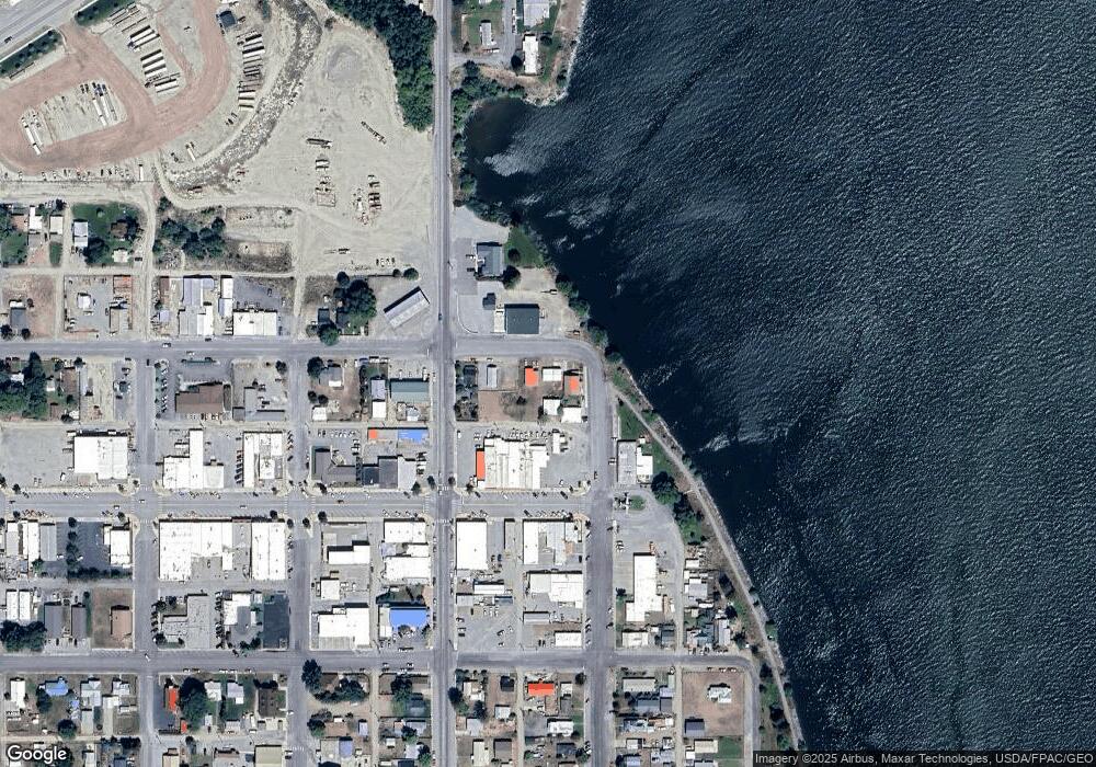
Map
Nearby Homes
- 713 S 1st St
- 207 Ferry Ave E
- 514 Bridge St
- 910 Sunset Dr
- 714 3rd St
- 709 Old Highway 97
- 19 Crane Orchard Rd
- 51 Henney Ln
- 9 Columbia View Dr
- 0 Old Highway 97 Unit NWM2384392
- 0 Nna Windmill Unit NWM2243283
- 24 Cielo Cir
- 0 the Park Place Unit 3 NWM2202728
- 0 the Park Place Unit 2 NWM2202725
- 0 the Park Place Unit 1 NWM2202716
- 0 the Park Place Unit 7 NWM2202749
- 0 the Park Place Unit 6 NWM2202743
- 0 the Park Place Unit 5 NWM2202735
- 0 the Park Place Unit 4 NWM2202731
- NNA Windmill Rd
- 309 Jay Ave E
- 409 Jay Ave NW
- 0 Bridge St Unit 1606748
- 526 W Main
- 416 Jay Ave NW
- 105 1/2 Bridge St S
- 415 Jay Ave NW
- 420 Jay Ave NW
- 110 4th St N
- 106 1/2 Indian Ave E
- 0 S 1st St
- 0 Bridge St & E Indian Unit 29137965
- 202 4th St S
- 106 E Indian Ave
- 106 E Indian Ave Unit 5
- 110 Indian Ave E
- 100 Indian Ave E
- 201 3rd St S
- 309 Indian Ave E
- 319 Indian Ave E