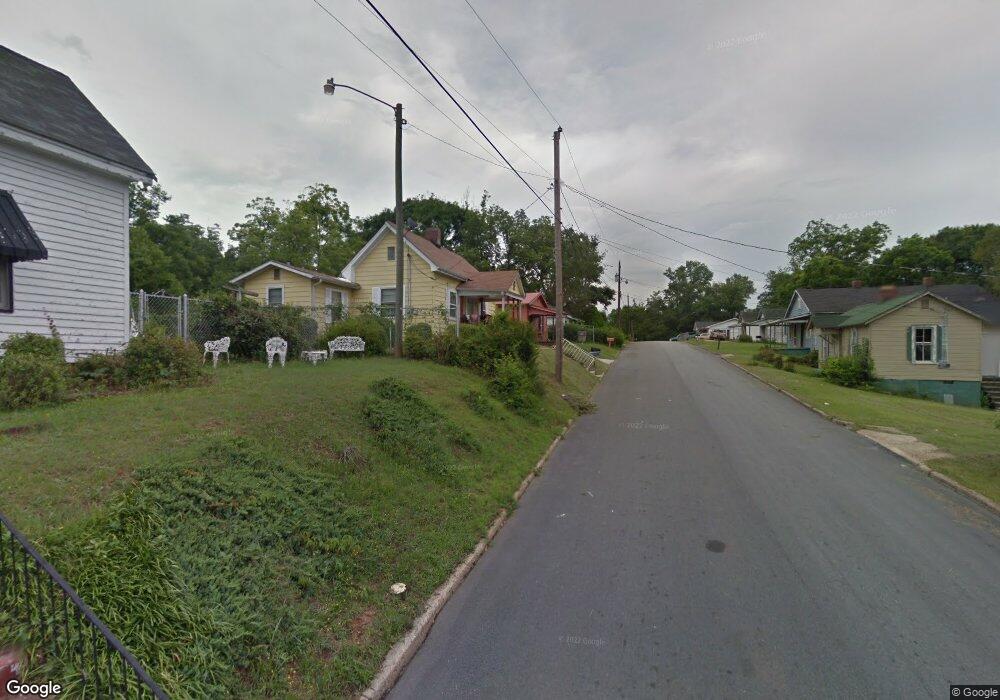
305 Johnson St Lagrange, GA 30241
Estimated Value: $53,054 - $72,000
2
Beds
1
Bath
744
Sq Ft
$86/Sq Ft
Est. Value
About This Home
This home is located at 305 Johnson St, Lagrange, GA 30241 and is currently estimated at $64,014, approximately $86 per square foot. 305 Johnson St is a home located in Troup County with nearby schools including Hollis Hand Elementary School, Franklin Forest Elementary School, and Ethel W. Kight Elementary School.
Ownership History
Date
Name
Owned For
Owner Type
Purchase Details
Closed on
Mar 10, 1987
Sold by
Davenport Alma
Bought by
Davenport Alma M
Current Estimated Value
Purchase Details
Closed on
Apr 13, 1982
Sold by
Hall Martha Louise and Hall Mary A
Bought by
Davenport Alma
Purchase Details
Closed on
Oct 14, 1974
Sold by
Smith Gennie Lou Gates Etal
Bought by
Hall Martha Louise and Hall Mary A
Purchase Details
Closed on
Oct 1, 1964
Sold by
Cameron Lera
Bought by
Smith Gennie Lou Gates Etal
Create a Home Valuation Report for This Property
The Home Valuation Report is an in-depth analysis detailing your home's value as well as a comparison with similar homes in the area
Purchase History
| Date | Buyer | Sale Price | Title Company |
|---|---|---|---|
| Davenport Alma M | -- | -- | |
| Davenport Alma | $3,700 | -- | |
| Hall Martha Louise | -- | -- | |
| Smith Gennie Lou Gates Etal | -- | -- |
Source: Public Records
Tax History
| Year | Tax Paid | Tax Assessment Tax Assessment Total Assessment is a certain percentage of the fair market value that is determined by local assessors to be the total taxable value of land and additions on the property. | Land | Improvement |
|---|---|---|---|---|
| 2025 | $392 | $14,360 | $1,280 | $13,080 |
| 2024 | $357 | $13,080 | $1,280 | $11,800 |
| 2023 | $263 | $9,640 | $1,280 | $8,360 |
| 2022 | $257 | $9,200 | $1,280 | $7,920 |
| 2021 | $241 | $8,000 | $1,160 | $6,840 |
| 2020 | $241 | $8,000 | $1,160 | $6,840 |
| 2019 | $230 | $7,624 | $1,224 | $6,400 |
| 2018 | $230 | $7,624 | $1,224 | $6,400 |
| 2017 | $230 | $7,624 | $1,224 | $6,400 |
| 2016 | $228 | $7,561 | $1,224 | $6,337 |
| 2015 | $227 | $7,512 | $1,175 | $6,337 |
| 2014 | $217 | $7,179 | $1,175 | $6,004 |
| 2013 | -- | $7,660 | $1,175 | $6,485 |
Source: Public Records
Map
Nearby Homes
- 307 Johnson St
- 303 Johnson St
- 700 E Depot St
- 301 Johnson St
- 302 Johnson St
- 108 Locust St
- 106 Locust St
- 308 Johnson St
- 704 E Depot St
- 110 Locust St
- 313 Johnson St
- 112 Locust St
- 304 Johnson St
- 315 Johnson St
- 215 Johnson St
- 118 Locust St
- 312 Johnson St
- 312 Johnson St Unit 7
- 310 Johnson St
- 707 E Depot St
Your Personal Tour Guide
Ask me questions while you tour the home.