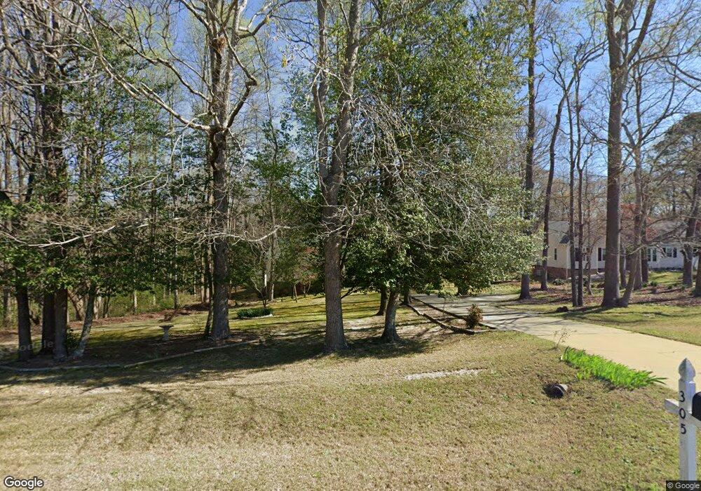
305 Lazy Branch Dr Benson, NC 27504
Pleasant Grove NeighborhoodEstimated Value: $310,000 - $339,000
3
Beds
2
Baths
1,666
Sq Ft
$194/Sq Ft
Est. Value
About This Home
This home is located at 305 Lazy Branch Dr, Benson, NC 27504 and is currently estimated at $323,223, approximately $194 per square foot. 305 Lazy Branch Dr is a home located in Johnston County with nearby schools including McGee's Crossroads Elementary School, McGee's Crossroads Middle School, and West Johnston High School.
Ownership History
Date
Name
Owned For
Owner Type
Purchase Details
Closed on
Feb 10, 2012
Sold by
Tiffany Bruce D and Estate Of Janice Landeryou Tif
Bought by
Tiffany Bruce D
Current Estimated Value
Home Financials for this Owner
Home Financials are based on the most recent Mortgage that was taken out on this home.
Original Mortgage
$57,000
Interest Rate
3.91%
Mortgage Type
New Conventional
Create a Home Valuation Report for This Property
The Home Valuation Report is an in-depth analysis detailing your home's value as well as a comparison with similar homes in the area
Home Values in the Area
Average Home Value in this Area
Purchase History
| Date | Buyer | Sale Price | Title Company |
|---|---|---|---|
| Tiffany Bruce D | -- | None Available |
Source: Public Records
Mortgage History
| Date | Status | Borrower | Loan Amount |
|---|---|---|---|
| Closed | Tiffany Bruce D | $57,000 |
Source: Public Records
Tax History Compared to Growth
Tax History
| Year | Tax Paid | Tax Assessment Tax Assessment Total Assessment is a certain percentage of the fair market value that is determined by local assessors to be the total taxable value of land and additions on the property. | Land | Improvement |
|---|---|---|---|---|
| 2025 | $2,043 | $321,670 | $85,000 | $236,670 |
| 2024 | $1,617 | $199,660 | $44,000 | $155,660 |
| 2023 | $1,567 | $199,660 | $44,000 | $155,660 |
| 2022 | $1,617 | $199,660 | $44,000 | $155,660 |
| 2021 | $1,617 | $199,660 | $44,000 | $155,660 |
| 2020 | $1,677 | $199,660 | $44,000 | $155,660 |
| 2019 | $1,637 | $199,660 | $44,000 | $155,660 |
| 2018 | $1,145 | $136,340 | $27,500 | $108,840 |
| 2017 | $1,145 | $136,340 | $27,500 | $108,840 |
| 2016 | $1,145 | $136,340 | $27,500 | $108,840 |
| 2015 | $1,162 | $136,340 | $27,500 | $108,840 |
| 2014 | $1,162 | $136,340 | $27,500 | $108,840 |
Source: Public Records
Map
Nearby Homes
- 216 Deep Pool Ct
- 121 Wilmack Dr
- 125 Bay Meadow Ln
- 358 Coats Ridge Dr
- 926 Lazy Branch Dr
- 400 Rose Ct
- 381 Gray Ghost St
- 1190 Sanders Rd
- 208 Hunting Lodge Rd
- 182 Pleasant Ridge Ct
- 62 Pelt Place
- 687 W Watson Rd
- 300 Still Meadows Ct
- 142 Hot Springs Way
- 160 Hot Springs Way
- 180 Hot Springs Way
- 130 Castaway Ct
- 360 Snowbell St
- 99 Barton Bay Ln
- 93 Hot Springs Way
- 309 Lazy Branch Dr
- 128 Creekstone Dr
- 132 Creekstone Dr
- 308 Lazy Branch Dr
- 313 Lazy Branch Dr
- 400 Rockvale Ct
- 509 Rockvale Ct
- 124 Creekstone Dr
- 204 Deep Pool Ct
- 208 Deep Pool Ct
- 212 Deep Pool Ct
- 136 Creekstone Dr
- 515 Rockvale Ct
- 404 Rockvale Ct
- R18633 Lazy Branch Dr
- 523 Rockvale Ct
- 504 Rockvale Ct
- 401 Rockvale Ct
- 500 Rockvale Ct
- 408 Rockvale Ct