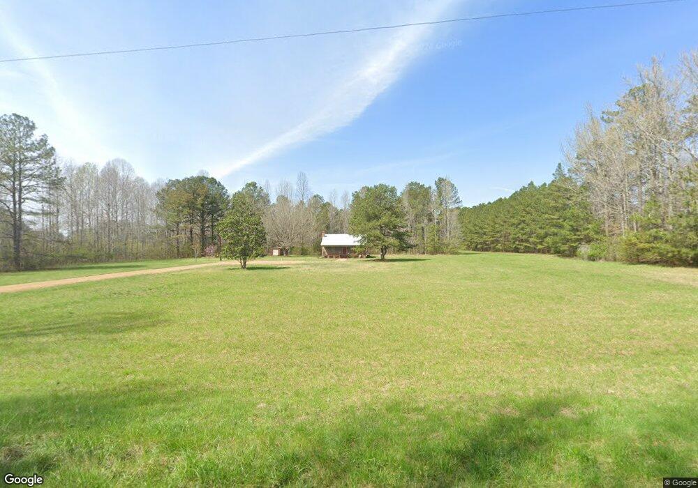
305 Lee Rd Cedartown, GA 30125
Estimated Value: $292,000 - $388,087
3
Beds
2
Baths
1,260
Sq Ft
$268/Sq Ft
Est. Value
About This Home
This home is located at 305 Lee Rd, Cedartown, GA 30125 and is currently estimated at $338,029, approximately $268 per square foot. 305 Lee Rd is a home.
Ownership History
Date
Name
Owned For
Owner Type
Purchase Details
Closed on
Mar 25, 2021
Sold by
Barbin Robert L
Bought by
Buice Ellen C
Current Estimated Value
Purchase Details
Closed on
Dec 6, 2013
Sold by
Lee Laurie Suzanne
Bought by
Barbin Robert L and Barbin Allison N
Purchase Details
Closed on
Jan 8, 2007
Sold by
Lee Laurie
Bought by
Lee Laurie S
Purchase Details
Closed on
Feb 2, 2001
Sold by
Lee Laurie S
Bought by
Lee Laurie S and Pierce Linda D
Purchase Details
Closed on
Jul 3, 2000
Sold by
Lee Heslip M and Lee Laura M
Bought by
Lee Laurie S
Purchase Details
Closed on
Jun 15, 2000
Sold by
Lee Hesplip M and Lee Laura M
Bought by
Lee Laurie S
Create a Home Valuation Report for This Property
The Home Valuation Report is an in-depth analysis detailing your home's value as well as a comparison with similar homes in the area
Home Values in the Area
Average Home Value in this Area
Purchase History
| Date | Buyer | Sale Price | Title Company |
|---|---|---|---|
| Buice Ellen C | -- | -- | |
| Barbin Robert L | $190,000 | -- | |
| Lee Laurie S | -- | -- | |
| Lee Laurie | $30,000 | -- | |
| Lee Laurie S | -- | -- | |
| Lee Laurie S | -- | -- | |
| Lee Laurie S | -- | -- |
Source: Public Records
Tax History Compared to Growth
Tax History
| Year | Tax Paid | Tax Assessment Tax Assessment Total Assessment is a certain percentage of the fair market value that is determined by local assessors to be the total taxable value of land and additions on the property. | Land | Improvement |
|---|---|---|---|---|
| 2024 | $2,243 | $107,327 | $28,281 | $79,046 |
| 2023 | $1,842 | $77,605 | $28,281 | $49,324 |
| 2022 | $1,366 | $57,580 | $18,854 | $38,726 |
| 2021 | $1,384 | $57,580 | $18,854 | $38,726 |
| 2020 | $1,387 | $57,580 | $18,854 | $38,726 |
| 2019 | $1,394 | $51,920 | $18,854 | $33,066 |
| 2018 | $1,402 | $50,890 | $18,854 | $32,036 |
| 2017 | $1,385 | $50,890 | $18,854 | $32,036 |
| 2016 | $1,476 | $54,242 | $22,205 | $32,036 |
| 2015 | $606 | $22,205 | $22,205 | $0 |
| 2014 | $493 | $17,924 | $17,924 | $0 |
Source: Public Records
Map
Nearby Homes
- 176 Runyon Loop
- 1838 Antioch Rd
- 4267 Buchanan Hwy
- 0 Runyon Loop Unit 10606366
- 0 Runyon Loop Unit 7650113
- 258 Rainey Lake Rd
- 1912 Hightower Rd
- 296 Winkle Rd
- 0 Mckibben Rd Unit 7665027
- 0 Mckibben Rd Unit 210
- 0 Mckibben Rd Unit 10623982
- 0 Youngs Farm Rd Unit 24829378
- 4550 Buchanan Hwy
- 0 Buchanan Hwy Unit 10558945
- 160 Tate Rd
- 102 acres Youngs Farm Rd
- 7474 Highway 27
- 45 York Cir
- 487 Grogan Rd
- 0 Everett Mtn Rd