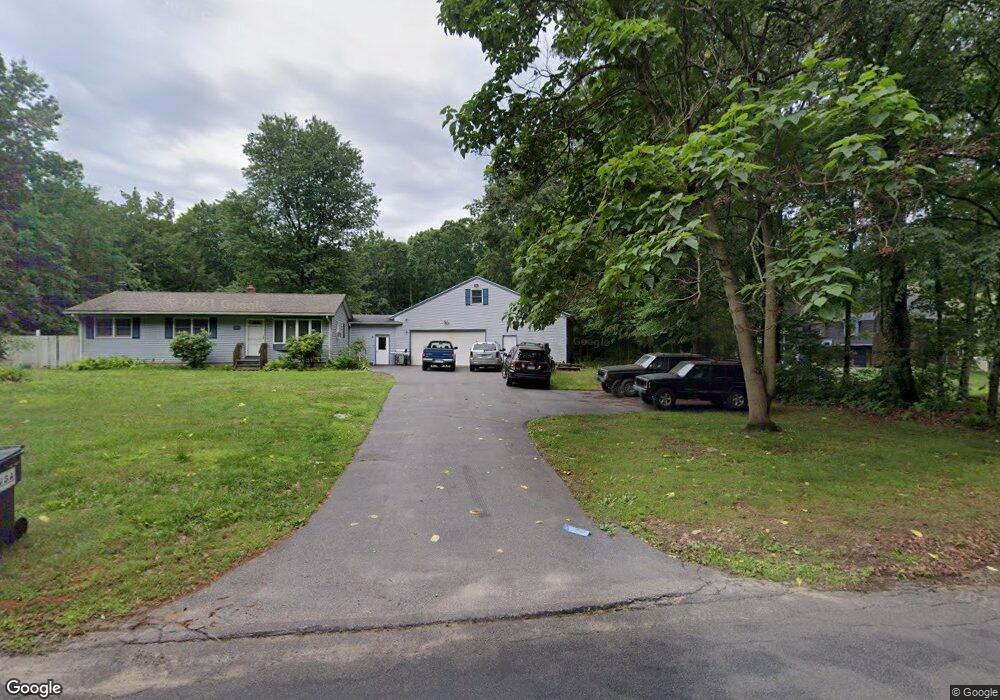
305 Locust Rd Harwinton, CT 06791
Estimated Value: $328,241 - $424,000
3
Beds
1
Bath
960
Sq Ft
$387/Sq Ft
Est. Value
About This Home
This home is located at 305 Locust Rd, Harwinton, CT 06791 and is currently estimated at $371,810, approximately $387 per square foot. 305 Locust Rd is a home located in Litchfield County with nearby schools including Harwinton Consolidated School, Har-Bur Middle School, and Lewis S. Mills High School.
Ownership History
Date
Name
Owned For
Owner Type
Purchase Details
Closed on
Sep 12, 2011
Sold by
Roy Daphne M
Bought by
Taylor Robert D
Current Estimated Value
Home Financials for this Owner
Home Financials are based on the most recent Mortgage that was taken out on this home.
Original Mortgage
$96,600
Interest Rate
4.58%
Purchase Details
Closed on
Nov 1, 1993
Sold by
Surveski Thomas
Bought by
Rogers Daphne M
Create a Home Valuation Report for This Property
The Home Valuation Report is an in-depth analysis detailing your home's value as well as a comparison with similar homes in the area
Home Values in the Area
Average Home Value in this Area
Purchase History
| Date | Buyer | Sale Price | Title Company |
|---|---|---|---|
| Taylor Robert D | $186,600 | -- | |
| Taylor Robert D | $186,600 | -- | |
| Rogers Daphne M | $121,000 | -- | |
| Rogers Daphne M | $121,000 | -- |
Source: Public Records
Mortgage History
| Date | Status | Borrower | Loan Amount |
|---|---|---|---|
| Open | Rogers Daphne M | $66,000 | |
| Closed | Rogers Daphne M | $96,600 |
Source: Public Records
Tax History
| Year | Tax Paid | Tax Assessment Tax Assessment Total Assessment is a certain percentage of the fair market value that is determined by local assessors to be the total taxable value of land and additions on the property. | Land | Improvement |
|---|---|---|---|---|
| 2025 | $4,228 | $183,830 | $70,120 | $113,710 |
| 2024 | $4,210 | $183,830 | $70,120 | $113,710 |
| 2023 | $3,300 | $113,030 | $50,090 | $62,940 |
| 2022 | $3,221 | $113,030 | $50,090 | $62,940 |
| 2021 | $3,244 | $113,030 | $50,090 | $62,940 |
| 2020 | $3,165 | $113,030 | $50,090 | $62,940 |
| 2019 | $3,165 | $113,030 | $50,090 | $62,940 |
| 2018 | $3,444 | $123,000 | $63,320 | $59,680 |
| 2017 | $3,419 | $123,000 | $63,320 | $59,680 |
| 2016 | $3,419 | $123,000 | $63,320 | $59,680 |
| 2015 | $3,358 | $123,000 | $63,320 | $59,680 |
| 2014 | $3,309 | $123,000 | $63,320 | $59,680 |
Source: Public Records
Map
Nearby Homes
- 7 Wilson Pond Rd
- 21 South Rd
- 39 Charolais Way
- 164 Birge Park Rd
- 75 Saw Mill Rd
- 151 Highview Dr
- 32 Ridgewood Dr
- 92 Shafer Rd
- 5 Saw Mill Rd
- 604 Wildcat Hill Rd
- 385 Cotton Hill Rd
- Lot 2 Birch Hill Rd
- 184 Campville Hill Rd
- 544 Litchfield Rd
- 767 George Washington Turnpike
- 65 Oak Meadow Ln Unit 65
- 175 Ramstein Rd
- 0 Decker Dr Unit 24148478
- 447 North St
- 111 Oxbow Dr
Your Personal Tour Guide
Ask me questions while you tour the home.