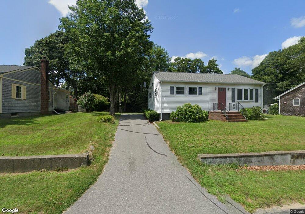
305 Main St Acushnet, MA 02743
Upper Acushnet NeighborhoodEstimated Value: $244,000 - $424,000
--
Bed
2
Baths
768
Sq Ft
$459/Sq Ft
Est. Value
About This Home
This home is located at 305 Main St, Acushnet, MA 02743 and is currently estimated at $352,745, approximately $459 per square foot. 305 Main St is a home located in Bristol County with nearby schools including Acushnet Elementary School, Albert F Ford Middle School, and Alma Del Mar Charter School.
Ownership History
Date
Name
Owned For
Owner Type
Purchase Details
Closed on
Mar 10, 2015
Sold by
Roy Albert J
Bought by
Roy Laura C
Current Estimated Value
Purchase Details
Closed on
Jul 27, 2011
Sold by
Roy Laura C
Bought by
Roy Laura C and Roy Albert J
Purchase Details
Closed on
Mar 2, 2007
Sold by
Roy Laura C
Bought by
Laura C Roy Rt and Roy
Create a Home Valuation Report for This Property
The Home Valuation Report is an in-depth analysis detailing your home's value as well as a comparison with similar homes in the area
Home Values in the Area
Average Home Value in this Area
Purchase History
| Date | Buyer | Sale Price | Title Company |
|---|---|---|---|
| Roy Laura C | -- | -- | |
| Roy Laura C | -- | -- | |
| Laura C Roy Rt | -- | -- |
Source: Public Records
Tax History Compared to Growth
Tax History
| Year | Tax Paid | Tax Assessment Tax Assessment Total Assessment is a certain percentage of the fair market value that is determined by local assessors to be the total taxable value of land and additions on the property. | Land | Improvement |
|---|---|---|---|---|
| 2025 | $35 | $321,500 | $121,500 | $200,000 |
| 2024 | $3,296 | $288,900 | $115,100 | $173,800 |
| 2023 | $3,170 | $264,200 | $104,400 | $159,800 |
| 2022 | $3,141 | $236,700 | $98,000 | $138,700 |
| 2021 | $5,198 | $218,700 | $98,000 | $120,700 |
| 2020 | $2,961 | $212,400 | $91,700 | $120,700 |
| 2019 | $2,839 | $200,200 | $87,400 | $112,800 |
| 2018 | $3,474 | $191,100 | $87,400 | $103,700 |
| 2017 | $2,615 | $181,100 | $87,400 | $93,700 |
| 2016 | $2,549 | $175,400 | $87,400 | $88,000 |
| 2015 | $2,425 | $169,800 | $87,400 | $82,400 |
Source: Public Records
Map
Nearby Homes
- 25 Pershing Ave
- 41 Chershire Ave
- 363 Main St
- 0 Hathaway Rd Unit 73469544
- 76 Main St
- 14 Hayes St Unit 1
- 12 Hayes St Unit 1
- 329 Middle Rd
- 65 Armsby St
- 303 Cummington St
- 12 Pontiac St
- 1026 Shelburne St
- 14 Caswell St
- 81 Sylvia St
- 91 S Main St
- 53 Howard Ave
- 134 Nyes Ln
- 16 Morses Ln
- 759 Belleville Ave
- 0 Church Dutton & Chaffee Unit 73371719