305 Mansfield Cir Quakertown, PA 18951
Richland NeighborhoodEstimated Value: $276,000 - $299,939
3
Beds
3
Baths
1,370
Sq Ft
$210/Sq Ft
Est. Value
About This Home
This home is located at 305 Mansfield Cir, Quakertown, PA 18951 and is currently estimated at $287,985, approximately $210 per square foot. 305 Mansfield Cir is a home located in Bucks County with nearby schools including Richland Elementary School, Strayer Middle School, and Quakertown Community Senior High School.
Ownership History
Date
Name
Owned For
Owner Type
Purchase Details
Closed on
Jun 9, 1998
Sold by
Nester Brian S and Melissa Cavanaugh R
Bought by
Nester Brian S
Current Estimated Value
Home Financials for this Owner
Home Financials are based on the most recent Mortgage that was taken out on this home.
Original Mortgage
$72,500
Interest Rate
7.11%
Purchase Details
Closed on
Sep 21, 1988
Bought by
Nester Brian S
Create a Home Valuation Report for This Property
The Home Valuation Report is an in-depth analysis detailing your home's value as well as a comparison with similar homes in the area
Home Values in the Area
Average Home Value in this Area
Purchase History
| Date | Buyer | Sale Price | Title Company |
|---|---|---|---|
| Nester Brian S | -- | -- | |
| Nester Brian S | $87,500 | -- |
Source: Public Records
Mortgage History
| Date | Status | Borrower | Loan Amount |
|---|---|---|---|
| Closed | Nester Brian S | $72,500 |
Source: Public Records
Tax History Compared to Growth
Tax History
| Year | Tax Paid | Tax Assessment Tax Assessment Total Assessment is a certain percentage of the fair market value that is determined by local assessors to be the total taxable value of land and additions on the property. | Land | Improvement |
|---|---|---|---|---|
| 2025 | $3,659 | $17,160 | $2,360 | $14,800 |
| 2024 | $3,659 | $17,160 | $2,360 | $14,800 |
| 2023 | $3,586 | $17,160 | $2,360 | $14,800 |
| 2022 | $3,528 | $17,160 | $2,360 | $14,800 |
| 2021 | $3,528 | $17,160 | $2,360 | $14,800 |
| 2020 | $3,528 | $17,160 | $2,360 | $14,800 |
| 2019 | $3,434 | $17,160 | $2,360 | $14,800 |
| 2018 | $3,321 | $17,160 | $2,360 | $14,800 |
| 2017 | $3,223 | $17,160 | $2,360 | $14,800 |
| 2016 | $3,223 | $17,160 | $2,360 | $14,800 |
| 2015 | -- | $17,160 | $2,360 | $14,800 |
| 2014 | -- | $17,160 | $2,360 | $14,800 |
Source: Public Records
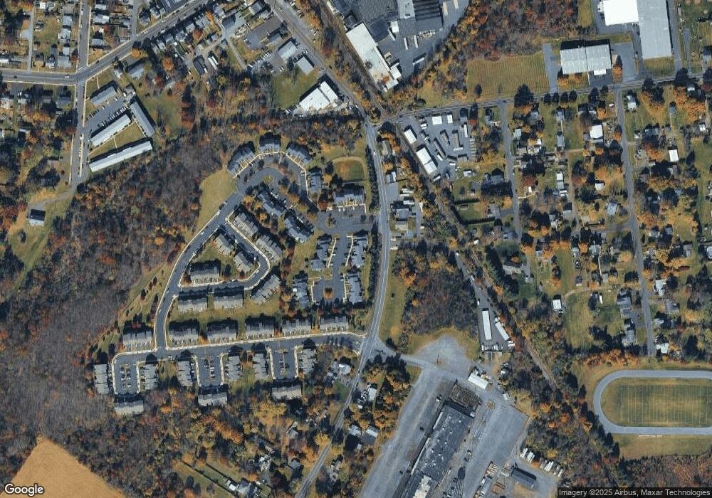
Map
Nearby Homes
- 21 Beaver Run Dr
- 262 Fairview Ave
- 141 S 2nd St
- 306 Juniper St
- 9 Maple St
- 34 N Ambler St
- 5 Essex Ct
- 1068 Freedom Ct
- 1351 Creekside Ln
- 27 S 7th St
- 908 Juniper St
- 803 W Broad St
- 232 S 10th St
- 112 Jefferson Ct
- 811 W Mill St
- 92 Laurel Ct
- 1086 Huntington Rd
- 2228 Blue Gill Dr Unit 54
- 1133 Mariwill Dr
- 1125 Arbour Ln
- 303 Mansfield Cir
- 307 Mansfield Cir
- 301 Mansfield Cir
- 309 Mansfield Cir
- 311 Mansfield Cir
- 313 Mansfield Cir
- 302 Mansfield Cir
- 315 Mansfield Cir
- 304 Mansfield Cir
- 306 Mansfield Cir
- 317 Mansfield Cir
- 308 Mansfield Cir
- 319 Mansfield Cir
- 310 Mansfield Cir
- 1 Beaver Run Dr
- 321 Mansfield Cir
- 312 Mansfield Cir
- 2 Beaver Run Dr
- 12 Beaver Run Dr
- 4 Beaver Run Dr