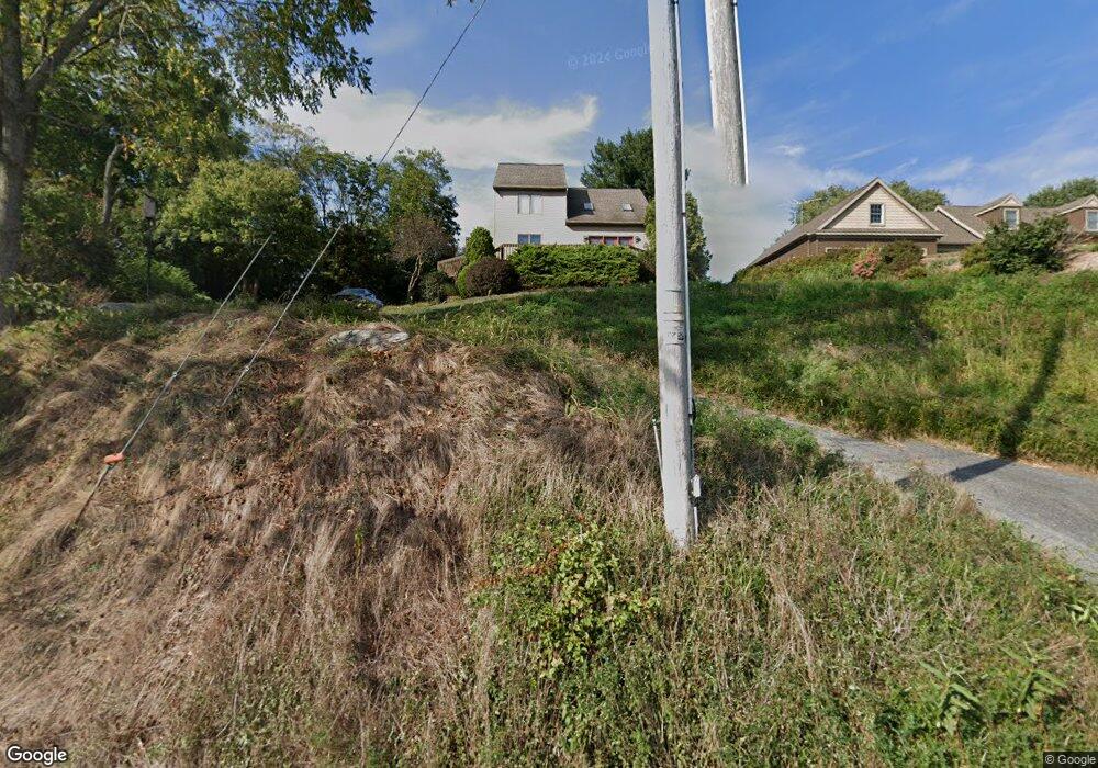
305 Memorial Rd Lititz, PA 17543
Estimated Value: $389,190 - $471,000
3
Beds
3
Baths
1,618
Sq Ft
$270/Sq Ft
Est. Value
About This Home
This home is located at 305 Memorial Rd, Lititz, PA 17543 and is currently estimated at $436,298, approximately $269 per square foot. 305 Memorial Rd is a home located in Lancaster County with nearby schools including Manheim Central Senior High School, Lititz Christian School, and Linden Hall.
Ownership History
Date
Name
Owned For
Owner Type
Purchase Details
Closed on
Jan 10, 2013
Sold by
Dissinger Ryan P and Dissinger Michele
Bought by
Dissinger Ryan P and Dissinger Michelle
Current Estimated Value
Home Financials for this Owner
Home Financials are based on the most recent Mortgage that was taken out on this home.
Original Mortgage
$185,000
Outstanding Balance
$82,548
Interest Rate
3.36%
Mortgage Type
New Conventional
Estimated Equity
$353,750
Purchase Details
Closed on
Oct 2, 2009
Sold by
Kim Jin D and Kim Crystal S
Bought by
Dissinger Ryan P
Home Financials for this Owner
Home Financials are based on the most recent Mortgage that was taken out on this home.
Original Mortgage
$188,000
Interest Rate
5.12%
Mortgage Type
New Conventional
Purchase Details
Closed on
May 1, 2006
Sold by
Kim Jin D and Kim Crystal S
Bought by
Kim Jin D and Kim Crystal S
Create a Home Valuation Report for This Property
The Home Valuation Report is an in-depth analysis detailing your home's value as well as a comparison with similar homes in the area
Home Values in the Area
Average Home Value in this Area
Purchase History
| Date | Buyer | Sale Price | Title Company |
|---|---|---|---|
| Dissinger Ryan P | -- | None Available | |
| Dissinger Ryan P | $235,000 | None Available | |
| Kim Jin D | -- | None Available |
Source: Public Records
Mortgage History
| Date | Status | Borrower | Loan Amount |
|---|---|---|---|
| Open | Dissinger Ryan P | $185,000 | |
| Closed | Dissinger Ryan P | $188,000 |
Source: Public Records
Tax History
| Year | Tax Paid | Tax Assessment Tax Assessment Total Assessment is a certain percentage of the fair market value that is determined by local assessors to be the total taxable value of land and additions on the property. | Land | Improvement |
|---|---|---|---|---|
| 2025 | $3,967 | $194,600 | $48,800 | $145,800 |
| 2024 | $3,967 | $194,600 | $48,800 | $145,800 |
| 2023 | $3,884 | $194,600 | $48,800 | $145,800 |
| 2022 | $3,784 | $194,600 | $48,800 | $145,800 |
| 2021 | $3,698 | $194,600 | $48,800 | $145,800 |
| 2020 | $3,698 | $194,600 | $48,800 | $145,800 |
| 2019 | $3,634 | $194,600 | $48,800 | $145,800 |
| 2018 | $2,673 | $194,600 | $48,800 | $145,800 |
| 2017 | $3,154 | $135,300 | $30,500 | $104,800 |
| 2016 | $3,154 | $135,300 | $30,500 | $104,800 |
| 2015 | $749 | $135,300 | $30,500 | $104,800 |
| 2014 | $2,204 | $135,300 | $30,500 | $104,800 |
Source: Public Records
Map
Nearby Homes
- 1 Brookwood Dr
- 902 Perry Rd
- 912 Perry Rd
- 240 Evans Rd
- 138 Moorland Ct
- 100 Pepperton Ct
- 60 Penn Valley Village
- 90 Penn Valley Village
- 119 Saybrooke Dr
- 33 Tara Dr
- 44 Duffield Dr
- 1500 Furnace Hills Pike
- 546 Hi View Dr
- 646 W Brubaker Valley Rd
- 3 Amberly Way
- 16 E Market St
- 3 Balsam Ln
- 48 N Broad St Unit 205
- 146 N Cedar St
- 258 Weston Terrace
Your Personal Tour Guide
Ask me questions while you tour the home.