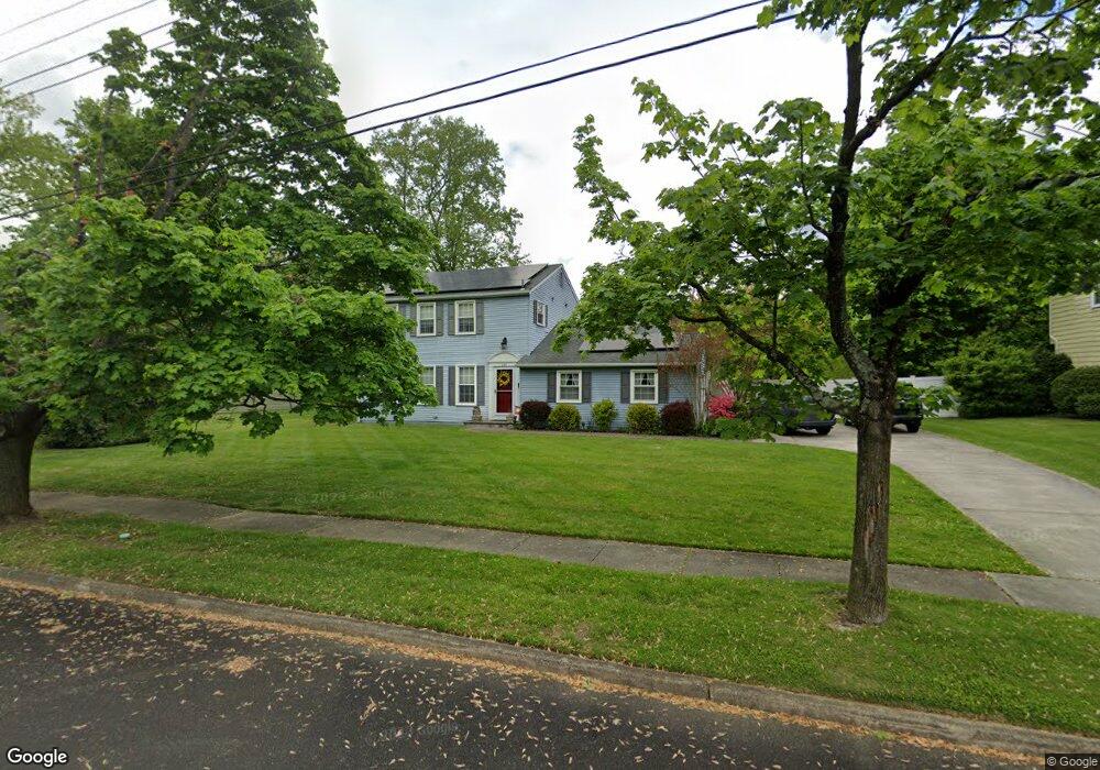
305 Mohawk Dr Wenonah, NJ 08090
Estimated Value: $449,000 - $504,000
--
Bed
--
Bath
2,011
Sq Ft
$235/Sq Ft
Est. Value
About This Home
This home is located at 305 Mohawk Dr, Wenonah, NJ 08090 and is currently estimated at $473,427, approximately $235 per square foot. 305 Mohawk Dr is a home located in Gloucester County with nearby schools including Wenonah Elementary School and Gateway Regional High School.
Ownership History
Date
Name
Owned For
Owner Type
Purchase Details
Closed on
Feb 26, 1993
Bought by
Allbright Paul K and Allbright Debra J
Current Estimated Value
Create a Home Valuation Report for This Property
The Home Valuation Report is an in-depth analysis detailing your home's value as well as a comparison with similar homes in the area
Home Values in the Area
Average Home Value in this Area
Purchase History
| Date | Buyer | Sale Price | Title Company |
|---|---|---|---|
| Allbright Paul K | $156,000 | -- |
Source: Public Records
Tax History Compared to Growth
Tax History
| Year | Tax Paid | Tax Assessment Tax Assessment Total Assessment is a certain percentage of the fair market value that is determined by local assessors to be the total taxable value of land and additions on the property. | Land | Improvement |
|---|---|---|---|---|
| 2025 | $12,112 | $273,100 | $105,400 | $167,700 |
| 2024 | $11,522 | $273,100 | $105,400 | $167,700 |
| 2023 | $11,522 | $273,100 | $105,400 | $167,700 |
| 2022 | $11,440 | $273,100 | $105,400 | $167,700 |
| 2021 | $11,549 | $273,100 | $105,400 | $167,700 |
| 2020 | $11,506 | $273,100 | $105,400 | $167,700 |
| 2019 | $11,320 | $273,100 | $105,400 | $167,700 |
| 2018 | $11,126 | $273,100 | $105,400 | $167,700 |
| 2017 | $11,126 | $273,100 | $105,400 | $167,700 |
| 2016 | $10,889 | $273,100 | $105,400 | $167,700 |
| 2015 | $10,656 | $273,100 | $105,400 | $167,700 |
| 2014 | $10,526 | $314,200 | $115,500 | $198,700 |
Source: Public Records
Map
Nearby Homes
- 0 Glassboro Rd
- 108 S Clinton Ave
- 221 Woodcreek Rd
- 3 E Mantua Ave
- 8 W Buttonwood St
- 242 Tall Pines Dr
- 1 W Buttonwood St
- 100 Fairmount St
- 513 N East Ave
- 118 Bock Ave
- 134 Carver Dr
- 183 Lincoln Rd
- 261 Wenonah Way
- 707 Howard Ave
- 1008 Jericho Ln
- 640 Mantua Blvd
- 315 Ogden Station Rd
- 975 Lindsey Dr
- 0 Mantua Blvd
- 41 Fleming Ave
- 307 Mohawk Dr
- 303 Mohawk Dr
- 15 Lenape Trail
- 306 Mohawk Dr
- 309 Mohawk Dr
- 304 Mohawk Dr
- 1599 Glassboro Rd
- 308 Mohawk Dr
- 302 Mohawk Dr
- 307 Seneca Dr
- 12 Lenape Trail
- 502 Lenape Trail
- 305 Seneca Dr
- 1597 Glassboro Rd
- 101 Lenape Trail
- 7 Lenape Trail
- 1600 Glassboro Rd
- 303 Seneca Dr
- 18 Lenape Trail
- 500 Lenape Trail