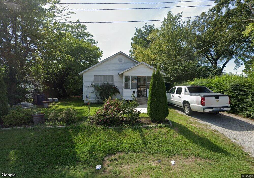
305 N Allis St Jonesboro, AR 72401
Estimated Value: $47,000 - $127,000
--
Bed
1
Bath
1,292
Sq Ft
$69/Sq Ft
Est. Value
About This Home
This home is located at 305 N Allis St, Jonesboro, AR 72401 and is currently estimated at $89,765, approximately $69 per square foot. 305 N Allis St is a home located in Craighead County with nearby schools including Annie Camp Junior High School, The Academies at Jonesboro High School, and Montessori School of Jonesboro.
Ownership History
Date
Name
Owned For
Owner Type
Purchase Details
Closed on
Oct 1, 2021
Sold by
Lillianmjc Llc
Bought by
Flores Martin and Gonzalez Emma
Current Estimated Value
Purchase Details
Closed on
Dec 27, 2004
Bought by
Coleman
Purchase Details
Closed on
Aug 31, 2004
Bought by
Simmons First Bank
Purchase Details
Closed on
Jul 27, 2004
Bought by
Simmons First Bank
Purchase Details
Closed on
Oct 24, 2003
Bought by
Harris
Purchase Details
Closed on
Jun 25, 2001
Bought by
Harris
Purchase Details
Closed on
Aug 11, 1989
Bought by
Owens
Create a Home Valuation Report for This Property
The Home Valuation Report is an in-depth analysis detailing your home's value as well as a comparison with similar homes in the area
Home Values in the Area
Average Home Value in this Area
Purchase History
| Date | Buyer | Sale Price | Title Company |
|---|---|---|---|
| Flores Martin | -- | None Available | |
| Coleman | $28,000 | -- | |
| Simmons First Bank | -- | -- | |
| Simmons First Bank | $55,000 | -- | |
| Harris | -- | -- | |
| Harris | $26,000 | -- | |
| Owens | $20,000 | -- |
Source: Public Records
Tax History Compared to Growth
Tax History
| Year | Tax Paid | Tax Assessment Tax Assessment Total Assessment is a certain percentage of the fair market value that is determined by local assessors to be the total taxable value of land and additions on the property. | Land | Improvement |
|---|---|---|---|---|
| 2025 | $446 | $10,573 | $800 | $9,773 |
| 2024 | $446 | $10,573 | $800 | $9,773 |
| 2023 | $436 | $10,573 | $800 | $9,773 |
| 2022 | $436 | $10,573 | $800 | $9,773 |
| 2021 | $317 | $7,521 | $800 | $6,721 |
| 2020 | $308 | $7,521 | $800 | $6,721 |
| 2019 | $280 | $6,640 | $800 | $5,840 |
| 2018 | $280 | $6,640 | $800 | $5,840 |
| 2017 | $280 | $6,640 | $800 | $5,840 |
| 2016 | $297 | $7,030 | $800 | $6,230 |
| 2015 | $297 | $6,670 | $800 | $5,870 |
| 2014 | $281 | $6,160 | $800 | $5,360 |
Source: Public Records
Map
Nearby Homes
- 402 N Fisher St
- 221 Drake St Unit 223 N Drake
- 301 N Bridge St
- 214 Miller St
- 1171 E Johnson Ave
- 501 E Allen Ave
- 207 Miller St
- 211 Belt St
- 404 N Rogers St
- 106 Leggett St
- 611 Warren St
- 205 Mulberry St
- 203 Scott St
- 514 2nd St
- 1101 Hope Ave
- 514 2nd St N
- 157 Cr 4243
- 95 Cr 4241
- 2.47 acres W Washington
- 104 W Forrest St
- 307 N Allis St
- 309 N Allis St
- 233 N Allis St Unit 6
- 233 N Allis St
- 310 N Fisher St
- 300 N Fisher St
- 304 N Allis St
- 306 N Allis St
- 308 N Allis St
- 232 N Fisher St
- 0 N Allis St
- 315 N Allis St
- 232 N Allis St
- 310 N Allis St
- 224 N Allis St
- 908 E Word Ave
- 222 N Fisher St
- 222 N Allis St
- 220 & 222 N Allis
- 317 N Allis St