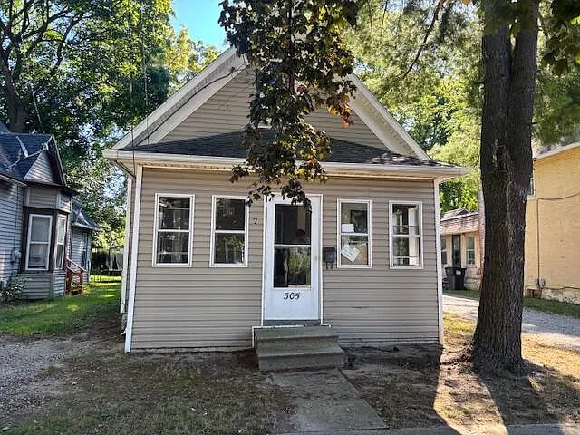


305 N Elm Ave Jackson, MI 49202
East Jackson Neighborhood
2
Beds
1
Bath
1,700
Sq Ft
4,312
Sq Ft Lot
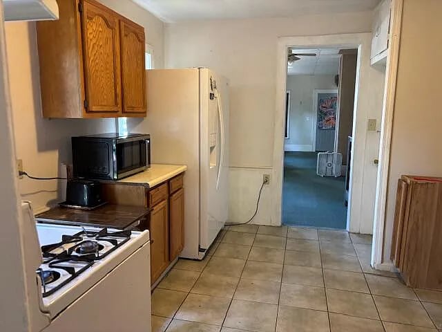
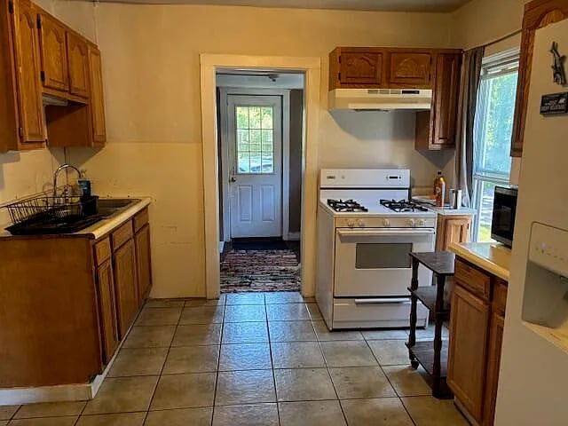
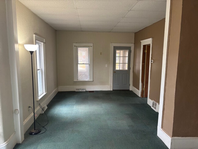
About This Home
Property Id: 2224390
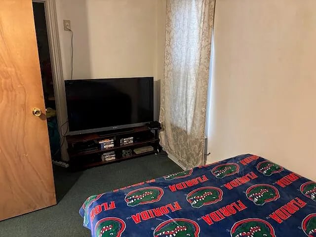
Two bedrooms one bathroom on main floor with bonus room Possible third bedroom upstairs
Listing Provided By

Map
Nearby Homes
- 312 N Elm Ave
- 406 N Elm Ave
- 314 Orange St
- 1804 E Ganson St
- 430 N Elm Ave
- 427 Seymour Ave
- 127 Bates St
- 408 N Pleasant St
- 414 Orange St
- 519 Seymour Ave
- 613 Gilbert St
- 1415 E Michigan Ave
- 604 Edgewood St
- 1214 Hamlin Place
- 239 N Dwight St
- 1407 E North St
- 115 Summit Ave
- 2013 Tyson St
- 1205 E Ganson St
- 503 N Pleasant St
- 410 Seymour Ave Unit Home
- 110 N Dettman Rd
- 1126 Walker St
- 159 W Michigan Ave
- 209 W Louis Glick Hwy
- 209 N Blackstone St
- 308 Van Buren St
- 702 Greenwood Ave
- 2907 Ashton Ridge Dr
- 231 W Mason St
- 335 W Cortland Ave Unit 2
- 709 Steward Ave Unit 3
- 233 Damon St
- 403 2nd St Unit 1
- 720 W Michigan Ave
- 129 E South St Unit 1
- 1500 W North St
- 507 17th St
- 1700 S West Ave
- 1024 S Brown St