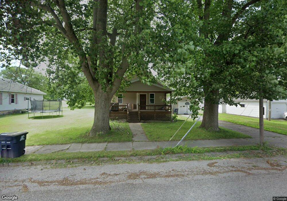
305 N Poplar St Mount Olive, IL 62069
Estimated Value: $91,000 - $120,000
--
Bed
--
Bath
--
Sq Ft
0.32
Acres
About This Home
This home is located at 305 N Poplar St, Mount Olive, IL 62069 and is currently estimated at $105,835. 305 N Poplar St is a home located in Macoupin County with nearby schools including Mt. Olive Elementary School and Mt. Olive High School.
Ownership History
Date
Name
Owned For
Owner Type
Purchase Details
Closed on
Nov 2, 2021
Sold by
Calcott Linda and Anderson Dale
Bought by
Schehl Edward C and Schehl Brendda K
Current Estimated Value
Home Financials for this Owner
Home Financials are based on the most recent Mortgage that was taken out on this home.
Original Mortgage
$47,500
Outstanding Balance
$43,459
Interest Rate
2.88%
Mortgage Type
New Conventional
Estimated Equity
$62,376
Purchase Details
Closed on
Aug 21, 2018
Sold by
Anderson Irwin and Anderson Martha
Bought by
Anderson Irwin and Calcott Linda
Purchase Details
Closed on
Aug 21, 1996
Bought by
Anderson Irwin and Anderson Martha
Create a Home Valuation Report for This Property
The Home Valuation Report is an in-depth analysis detailing your home's value as well as a comparison with similar homes in the area
Home Values in the Area
Average Home Value in this Area
Purchase History
| Date | Buyer | Sale Price | Title Company |
|---|---|---|---|
| Schehl Edward C | -- | Community Title Ii Lp | |
| Anderson Irwin | -- | Community Title Ii Lp | |
| Anderson Irwin | $33,000 | -- |
Source: Public Records
Mortgage History
| Date | Status | Borrower | Loan Amount |
|---|---|---|---|
| Open | Schehl Edward C | $47,500 |
Source: Public Records
Tax History Compared to Growth
Tax History
| Year | Tax Paid | Tax Assessment Tax Assessment Total Assessment is a certain percentage of the fair market value that is determined by local assessors to be the total taxable value of land and additions on the property. | Land | Improvement |
|---|---|---|---|---|
| 2024 | $1,934 | $30,394 | $3,884 | $26,510 |
| 2023 | $1,807 | $28,142 | $3,596 | $24,546 |
| 2022 | $1,807 | $26,301 | $3,361 | $22,940 |
| 2021 | $0 | $49,160 | $3,141 | $46,019 |
| 2020 | $0 | $46,830 | $2,963 | $43,867 |
| 2019 | $0 | $23,188 | $0 | $23,188 |
| 2018 | $0 | $22,513 | $0 | $0 |
| 2017 | $0 | $21,380 | $2,732 | $18,648 |
| 2016 | $0 | $21,380 | $2,732 | $18,648 |
| 2015 | $0 | $21,380 | $2,732 | $18,648 |
| 2014 | -- | $21,380 | $2,732 | $18,648 |
| 2013 | $1,041 | $23,202 | $2,965 | $20,237 |
Source: Public Records
Map
Nearby Homes
- 301 W 3rd St N
- 114 W 2nd St S
- 310 N Maple St
- 211 S Lake St
- 114 W 3rd South St
- 309 W 3rd St S
- 514 Putnam St
- 308 E Benton St
- 311 Colfax St
- 506 Garfield St
- 101 E Oglesby St
- 500 Benton St
- TBD Route 138
- 5939 Oak Creek Trail
- 20447 Old Route 66
- 20267 Tall Timber Rd
- 113 Cahokia St
- 622 Stewart St
- 4 Meadowlark Dr
- 416 Pfahler St
- 301 N Poplar St
- 213 N Poplar St
- 104 W 3rd North St
- 104 W 3rd St N
- 108 W 3rd St N
- 211 N Poplar St
- 108 W 3rd North St
- 109 E 2nd North St
- 306 N Walnut St
- 300 N Walnut St
- 310 N Poplar St
- 207 N Poplar St
- 208 N Walnut St
- 106 E 3rd North St
- 105 W 3rd North St
- 105 W 3rd St N
- 310 N Walnut St
- 101 W 3rd North St
- 109 W 3rd North St
- 111 W 3rd North St