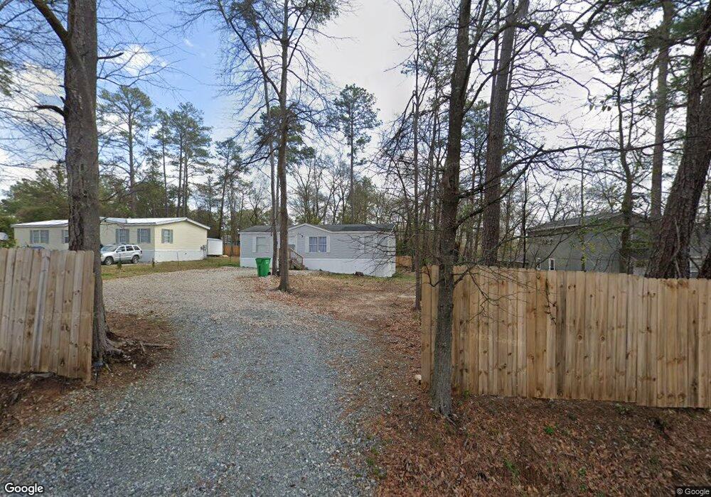
305 Nelson Dr Unit 6 Warner Robins, GA 31088
Estimated Value: $89,000 - $299,000
--
Bed
--
Bath
--
Sq Ft
0.41
Acres
About This Home
This home is located at 305 Nelson Dr Unit 6, Warner Robins, GA 31088 and is currently estimated at $166,333. 305 Nelson Dr Unit 6 is a home located in Houston County with nearby schools including Miller Elementary School, Warner Robins Middle School, and Warner Robins High School.
Ownership History
Date
Name
Owned For
Owner Type
Purchase Details
Closed on
May 14, 2021
Sold by
Marsh Beatie
Bought by
Robins Village Llc
Current Estimated Value
Purchase Details
Closed on
Jun 10, 1994
Sold by
E & R Associates Inc
Bought by
Murray Ella J
Purchase Details
Closed on
Nov 7, 1983
Sold by
Murray Ennis
Bought by
E & R Associates Inc
Purchase Details
Closed on
Apr 18, 1977
Sold by
Murray Mary E
Bought by
Murray Ennis
Purchase Details
Closed on
Mar 21, 1977
Sold by
Parnell James L
Bought by
Murray Mary E
Purchase Details
Closed on
Nov 18, 1976
Sold by
Tax Sale
Bought by
Parnell James L
Purchase Details
Closed on
Feb 6, 1965
Sold by
Murray Ennis
Bought by
Murray Mary E
Purchase Details
Closed on
Feb 4, 1965
Sold by
Burnham Henry
Bought by
Murray Ennis
Purchase Details
Closed on
Jul 8, 1963
Bought by
Burnham Henry
Create a Home Valuation Report for This Property
The Home Valuation Report is an in-depth analysis detailing your home's value as well as a comparison with similar homes in the area
Home Values in the Area
Average Home Value in this Area
Purchase History
| Date | Buyer | Sale Price | Title Company |
|---|---|---|---|
| Robins Village Llc | $11,500 | None Available | |
| Murray Ella J | -- | -- | |
| E & R Associates Inc | -- | -- | |
| Murray Ennis | -- | -- | |
| Murray Mary E | -- | -- | |
| Parnell James L | -- | -- | |
| Murray Mary E | -- | -- | |
| Murray Ennis | -- | -- | |
| Burnham Henry | -- | -- |
Source: Public Records
Tax History Compared to Growth
Tax History
| Year | Tax Paid | Tax Assessment Tax Assessment Total Assessment is a certain percentage of the fair market value that is determined by local assessors to be the total taxable value of land and additions on the property. | Land | Improvement |
|---|---|---|---|---|
| 2024 | $86 | $3,600 | $3,600 | $0 |
| 2023 | $87 | $3,600 | $3,600 | $0 |
| 2022 | $57 | $3,600 | $3,600 | $0 |
| 2021 | $87 | $3,600 | $3,600 | $0 |
| 2020 | $89 | $3,600 | $3,600 | $0 |
| 2019 | $88 | $3,600 | $3,600 | $0 |
| 2018 | $88 | $3,600 | $3,600 | $0 |
| 2017 | $88 | $3,600 | $3,600 | $0 |
| 2016 | $88 | $3,600 | $3,600 | $0 |
| 2015 | $88 | $3,600 | $3,600 | $0 |
| 2014 | -- | $3,600 | $3,600 | $0 |
| 2013 | -- | $3,600 | $3,600 | $0 |
Source: Public Records
Map
Nearby Homes
- 301 Millside Dr
- 144 Mill Chase Way
- 112 Peacock Dr
- 109 Fisher St
- 705 Corder Rd
- PARC 10 & TRACT Linda Kay Ct
- Parc10&Tract4B Linda Kay Ct
- 703 Wilmington Dr
- 141 Peacock Dr
- 116 Lake Dr
- 112 Lake Dr
- 318 Somerset Dr
- 127 N Amanda Place
- 106 Westcliff Cir
- 110 Westcliff Cir Unit B
- 110 Westcliff Cir
- 110 Westcliff Cir Unit C
- 103 Westcliff Cir Unit A
- 103 Westcliff Cir Unit A
- 105 Westcliff Cir
- 303 Nelson Dr Unit 7
- 307 Nelson Dr
- 214 Terry Kay Cir
- 301 Nelson Dr
- 306 Nelson Dr
- 302 Nelson Dr
- 311 Nelson Dr
- 310 Nelson Dr
- 315 Nelson Dr
- 219 Nelson Dr
- 219 Nelson Dr
- 6 Wellston Dr
- 205 Holt Ave
- 0 Wellston Dr Unit 8672395
- 0 Wellston Dr Unit 8546679
- 0 Wellston Dr Unit 8376056
- 0 Wellston Dr Unit 8537635
- 0 Wellston Dr Unit 7300027
- 0 Wellston Dr
- 205 Holt Ave