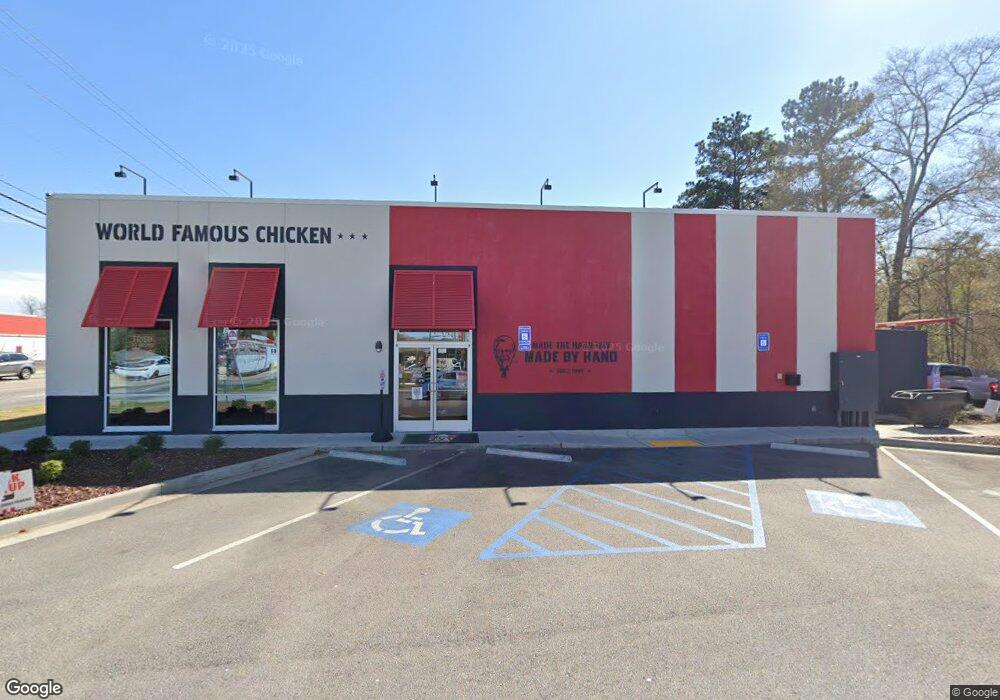
305 New Franklin Rd Lagrange, GA 30240
Estimated Value: $1,026,640
Studio
1
Bath
2,300
Sq Ft
$446/Sq Ft
Est. Value
About This Home
This home is located at 305 New Franklin Rd, Lagrange, GA 30240 and is currently estimated at $1,026,640, approximately $446 per square foot. 305 New Franklin Rd is a home located in Troup County with nearby schools including Franklin Forest Elementary School, Hollis Hand Elementary School, and Ethel W. Kight Elementary School.
Ownership History
Date
Name
Owned For
Owner Type
Purchase Details
Closed on
May 8, 2019
Sold by
Southeastern Associated Properties Llc
Bought by
Barr David Brian and C/O Pmtd Pestaurants Llc
Current Estimated Value
Purchase Details
Closed on
Jan 22, 1993
Sold by
Shelton B W Aka Shelton Brian
Bought by
Southeastern Assoc Properties
Purchase Details
Closed on
Mar 11, 1984
Sold by
First Federal Savings & Loan
Bought by
Shelton B W Aka Shelton Brian
Purchase Details
Closed on
Mar 10, 1984
Sold by
Hogg J C
Bought by
First Federal Savings & Loan
Purchase Details
Closed on
Mar 9, 1984
Sold by
Floco Inc
Bought by
Hogg J C
Purchase Details
Closed on
Feb 21, 1983
Sold by
Smith Martha T
Bought by
Floco Inc
Purchase Details
Closed on
Dec 22, 1980
Sold by
Fling Emmett
Bought by
Smith Martha T
Purchase Details
Closed on
Nov 8, 1973
Sold by
Gulf Oil Corporation
Bought by
Fling Emmett
Purchase Details
Closed on
Aug 1, 1965
Sold by
Hogg J C
Bought by
Gulf Oil Corporation
Create a Home Valuation Report for This Property
The Home Valuation Report is an in-depth analysis detailing your home's value as well as a comparison with similar homes in the area
Purchase History
| Date | Buyer | Sale Price | Title Company |
|---|---|---|---|
| Barr David Brian | $585,000 | -- | |
| Southeastern Assoc Properties | $10,200 | -- | |
| Shelton B W Aka Shelton Brian | -- | -- | |
| First Federal Savings & Loan | $120,000 | -- | |
| Hogg J C | $120,000 | -- | |
| Floco Inc | $81,400 | -- | |
| Smith Martha T | $85,000 | -- | |
| Fling Emmett | $52,300 | -- | |
| Gulf Oil Corporation | -- | -- |
Source: Public Records
Tax History
| Year | Tax Paid | Tax Assessment Tax Assessment Total Assessment is a certain percentage of the fair market value that is determined by local assessors to be the total taxable value of land and additions on the property. | Land | Improvement |
|---|---|---|---|---|
| 2025 | $14,614 | $535,840 | $195,000 | $340,840 |
| 2024 | $13,812 | $506,440 | $195,000 | $311,440 |
| 2023 | $13,536 | $496,320 | $195,000 | $301,320 |
| 2022 | $13,852 | $496,320 | $195,000 | $301,320 |
| 2021 | $12,679 | $420,400 | $195,000 | $225,400 |
| 2020 | $13,856 | $420,400 | $195,000 | $225,400 |
| 2019 | $4,658 | $154,440 | $102,520 | $51,920 |
| 2018 | $4,658 | $154,440 | $102,520 | $51,920 |
| 2017 | $4,658 | $154,440 | $102,520 | $51,920 |
| 2016 | $3,854 | $127,784 | $68,600 | $59,184 |
| 2015 | $3,860 | $127,784 | $68,600 | $59,184 |
| 2014 | $3,867 | $127,784 | $68,600 | $59,184 |
| 2013 | -- | $127,784 | $68,600 | $59,184 |
Source: Public Records
Map
Nearby Homes
- 0 Ridley Ave Unit 10550104
- 609 Ridley Ave
- 707 Ridley Ave
- 611 Ridley Ave
- 615 Ridley Ave
- 709 Ridley Ave
- 219 Banks St
- 301 E Bacon St
- 109 Thomas St
- 102 Dogwood Dr
- 202 Park Hill Dr
- 222 Beechwood Cir
- 900 North St
- 706 N Harlem Cir
- 110 Russell St
- 131 Foch St
- 616 S Harlem Cir
- 204 Colonial St
- 206 Broad St
- 806 New Franklin Rd
- 604 Ridley Ave
- 0 Commerce Unit TR 4 7308768
- 602 Ridley Ave
- 705 Campbell St
- 101 Mitchell Ave
- 102 Mitchell Ave
- 600 Ridley Ave
- 115 Mitchell Ave
- 000 Commerce Ave
- 725 Campbell St
- 516 Ridley Ave
- 705 Ridley Ave
- 100 Highland Ave
- 108 Mitchell Ave
- 425 New Franklin Rd
- 514 Ridley Ave
- 110 Highland Ave
- 517 Ridley Ave
- 110 Mitchell Ave
- 103 Highland Ave
Your Personal Tour Guide
Ask me questions while you tour the home.