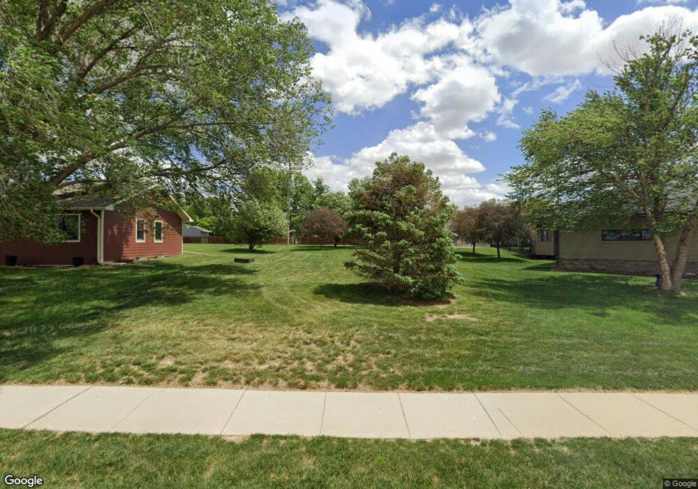
305 Precinct Rd Ceresco, NE 68017
Estimated Value: $152,035 - $245,000
Studio
--
Bath
--
Sq Ft
8,276
Sq Ft Lot
About This Home
This home is located at 305 Precinct Rd, Ceresco, NE 68017 and is currently estimated at $211,678. 305 Precinct Rd is a home with nearby schools including Raymond Central High School.
Ownership History
Date
Name
Owned For
Owner Type
Purchase Details
Closed on
Apr 18, 2012
Sold by
Spader John W and Spader Deborah K
Bought by
Spader John W
Current Estimated Value
Purchase Details
Closed on
May 26, 2005
Sold by
Hansen Donna J and Sorensen Lavern P
Bought by
Lugar Libby S
Home Financials for this Owner
Home Financials are based on the most recent Mortgage that was taken out on this home.
Original Mortgage
$134,000
Interest Rate
5.79%
Create a Home Valuation Report for This Property
The Home Valuation Report is an in-depth analysis detailing your home's value as well as a comparison with similar homes in the area
Purchase History
| Date | Buyer | Sale Price | Title Company |
|---|---|---|---|
| Spader John W | -- | -- | |
| Lugar Libby S | -- | -- |
Source: Public Records
Mortgage History
| Date | Status | Borrower | Loan Amount |
|---|---|---|---|
| Previous Owner | Lugar Libby S | $134,000 |
Source: Public Records
Tax History
| Year | Tax Paid | Tax Assessment Tax Assessment Total Assessment is a certain percentage of the fair market value that is determined by local assessors to be the total taxable value of land and additions on the property. | Land | Improvement |
|---|---|---|---|---|
| 2025 | $373 | $26,199 | $24,829 | $1,370 |
| 2024 | $324 | $21,345 | $20,000 | $1,345 |
| 2023 | $369 | $20,830 | $20,000 | $830 |
| 2022 | $392 | $20,000 | $20,000 | $0 |
| 2021 | $401 | $20,000 | $20,000 | $0 |
| 2020 | $403 | $20,000 | $20,000 | $0 |
| 2019 | $406 | $20,000 | $20,000 | $0 |
| 2018 | $413 | $20,000 | $20,000 | $0 |
| 2017 | $41 | $20,000 | $20,000 | $0 |
| 2016 | $413 | $20,000 | $20,000 | $0 |
| 2015 | $427 | $20,000 | $20,000 | $0 |
| 2014 | $437 | $20,000 | $20,000 | $0 |
| 2012 | $502 | $20,000 | $20,000 | $0 |
Source: Public Records
Map
Nearby Homes
- 704 Beech St
- 0 E Elm St
- 6030 Little Salt Rd
- 551 County Road 20
- 2118 Wilsonville Rd
- 2162 County Road A
- 8645 Agnew Rd
- 5830 Rock Creek Rd
- 135 Hunter St
- 120 Hunter St
- 8601 Agnew Lot 1 Rd
- 8601 Agnew Lot 4 Rd
- 8601 Agnew Lot 3 Rd
- 1198 County Road D
- 6531 Mill Rd
- 500 Mill Rd
- 7015 W Agnew Rd
- 12550 N 84th St
- 20201 NW 68th St
- 12500 N 84th St
Your Personal Tour Guide
Ask me questions while you tour the home.