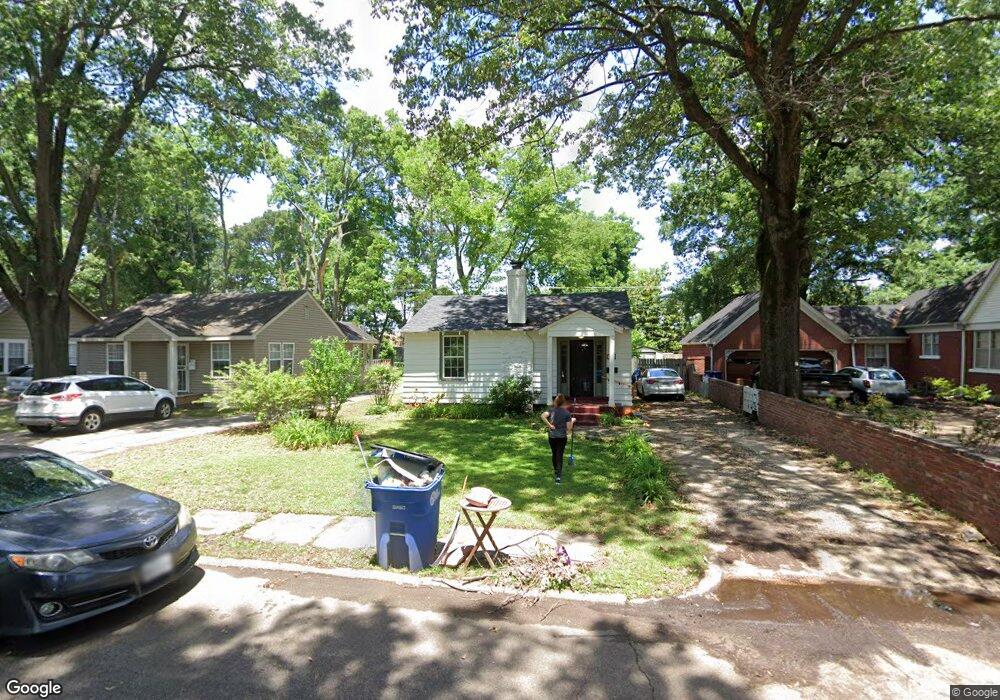
305 Roosevelt Ave West Memphis, AR 72301
Estimated Value: $143,000 - $177,581
--
Bed
1
Bath
1,561
Sq Ft
$107/Sq Ft
Est. Value
About This Home
This home is located at 305 Roosevelt Ave, West Memphis, AR 72301 and is currently estimated at $167,395, approximately $107 per square foot. 305 Roosevelt Ave is a home located in Crittenden County with nearby schools including Bragg Elementary School, West Junior High School, and The Academies of West Memphis Charter School.
Ownership History
Date
Name
Owned For
Owner Type
Purchase Details
Closed on
Mar 21, 2017
Sold by
Crosthwait Mary Francis and Crosthwait James Micheal
Bought by
King Archie
Current Estimated Value
Home Financials for this Owner
Home Financials are based on the most recent Mortgage that was taken out on this home.
Original Mortgage
$60,000
Outstanding Balance
$49,728
Interest Rate
4.15%
Mortgage Type
New Conventional
Estimated Equity
$117,667
Purchase Details
Closed on
May 7, 2013
Sold by
King Doris M
Bought by
King Doris M
Create a Home Valuation Report for This Property
The Home Valuation Report is an in-depth analysis detailing your home's value as well as a comparison with similar homes in the area
Home Values in the Area
Average Home Value in this Area
Purchase History
| Date | Buyer | Sale Price | Title Company |
|---|---|---|---|
| King Archie | $80,000 | -- | |
| King Doris M | -- | -- |
Source: Public Records
Mortgage History
| Date | Status | Borrower | Loan Amount |
|---|---|---|---|
| Open | King Archie | $60,000 |
Source: Public Records
Tax History Compared to Growth
Tax History
| Year | Tax Paid | Tax Assessment Tax Assessment Total Assessment is a certain percentage of the fair market value that is determined by local assessors to be the total taxable value of land and additions on the property. | Land | Improvement |
|---|---|---|---|---|
| 2024 | $802 | $27,070 | $4,560 | $22,510 |
| 2023 | $877 | $27,070 | $4,560 | $22,510 |
| 2022 | $904 | $27,070 | $4,560 | $22,510 |
| 2021 | $849 | $27,070 | $4,560 | $22,510 |
| 2020 | $1,100 | $27,070 | $4,560 | $22,510 |
| 2019 | $874 | $23,120 | $4,560 | $18,560 |
| 2018 | $590 | $23,120 | $4,560 | $18,560 |
| 2017 | $940 | $0 | $0 | $0 |
| 2016 | $725 | $23,120 | $4,560 | $18,560 |
| 2015 | $430 | $23,120 | $4,560 | $18,560 |
| 2014 | $1,028 | $0 | $0 | $0 |
Source: Public Records
Map
Nearby Homes
- 235 W Barton Ave
- 221 W Barton Ave
- 216 Roosevelt Ave
- 307 W Cooper Ave
- 232 Ross Ave
- 112 Ross Ave
- 104 Ross Ave
- 223 W Oliver Ave
- 413 Gibson Ave
- 215 W Oliver Ave
- 123 W Danner Ave
- 323 W Oliver Ave
- 303 N Rhodes St
- 501 W Cooper Ave
- 321 S Worthington Dr
- 503 W Oliver Ave
- 451 S Roselawn Dr
- 607 W Barton Ave
- 703-707 N Missouri St
- 1397 N Missouri St
- 301 Roosevelt Ave
- 307 Roosevelt Ave
- 300 Roosevelt Ave
- 309 Roosevelt Ave
- 233 Roosevelt Ave
- 311 Roosevelt Ave
- 308 Roosevelt Ave
- 234 W Barton Ave
- 228 Roosevelt Ave
- 313 Roosevelt Ave
- 308 W Barton Ave
- 500 N Redding St
- 304 W Barton Ave
- 312 W Barton Ave
- 312 Roosevelt Ave
- 315 Roosevelt Ave
- 309 W Cooper Ave
- 317 Roosevelt Ave
- 228 W Barton Ave
- 303 W Cooper Ave