305 Ross St Danville, OH 43014
Estimated Value: $145,367 - $188,000
3
Beds
1
Bath
1,428
Sq Ft
$112/Sq Ft
Est. Value
About This Home
This home is located at 305 Ross St, Danville, OH 43014 and is currently estimated at $160,092, approximately $112 per square foot. 305 Ross St is a home with nearby schools including Danville Elementary School, Danville Middle School, and Danville High School.
Ownership History
Date
Name
Owned For
Owner Type
Purchase Details
Closed on
Oct 9, 2024
Sold by
Durbin Andy and Durbin Andrew C
Bought by
Martinsburg Cattle Series 3 and Martinsburg Cattle Company Llc
Current Estimated Value
Purchase Details
Closed on
Oct 27, 2004
Sold by
Brant Gregory Lamar and Brant Hum
Bought by
Humphrey Patricia R and Humphrey Thomp
Purchase Details
Closed on
Apr 11, 2003
Sold by
Thompson Earl C and Thompson Sandra
Bought by
Brant Gregory Lamar and Brant Hum
Purchase Details
Closed on
Mar 10, 1998
Sold by
Strouse P David
Bought by
Thompson Earl C and Thompson Sandra
Purchase Details
Closed on
Jul 23, 1987
Sold by
Samples William C
Bought by
Strouse P David
Create a Home Valuation Report for This Property
The Home Valuation Report is an in-depth analysis detailing your home's value as well as a comparison with similar homes in the area
Home Values in the Area
Average Home Value in this Area
Purchase History
| Date | Buyer | Sale Price | Title Company |
|---|---|---|---|
| Martinsburg Cattle Series 3 | -- | None Listed On Document | |
| Humphrey Patricia R | -- | -- | |
| Brant Gregory Lamar | $30,000 | -- | |
| Thompson Earl C | $30,000 | -- | |
| Strouse P David | $25,000 | -- |
Source: Public Records
Tax History Compared to Growth
Tax History
| Year | Tax Paid | Tax Assessment Tax Assessment Total Assessment is a certain percentage of the fair market value that is determined by local assessors to be the total taxable value of land and additions on the property. | Land | Improvement |
|---|---|---|---|---|
| 2024 | $833 | $22,490 | $4,240 | $18,250 |
| 2023 | $833 | $22,490 | $4,240 | $18,250 |
| 2022 | $768 | $17,840 | $3,360 | $14,480 |
| 2021 | $768 | $17,840 | $3,360 | $14,480 |
| 2020 | $727 | $17,840 | $3,360 | $14,480 |
| 2019 | $788 | $18,180 | $4,540 | $13,640 |
| 2018 | $793 | $18,180 | $4,540 | $13,640 |
| 2017 | $776 | $18,180 | $4,540 | $13,640 |
| 2016 | $717 | $16,820 | $4,200 | $12,620 |
| 2015 | $717 | $16,820 | $4,200 | $12,620 |
| 2014 | $720 | $16,820 | $4,200 | $12,620 |
| 2013 | $739 | $16,450 | $3,950 | $12,500 |
Source: Public Records
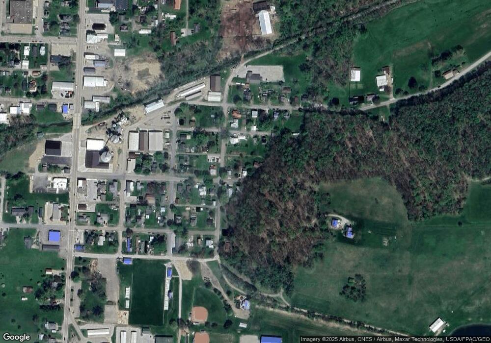
Map
Nearby Homes
- 417 S Market St
- 228 E Walnut St
- 106 W Rambo St
- 204 S Richards St
- 0 Howard-Danville Rd
- 13904 Carey Ln
- 0 Hoover Rd
- 13356 Mowery Rd
- 15757 Hunter Rd
- 29575 Hoover Rd
- 26301 Cavallo Rd
- 26083 Coshocton Rd
- 0 King Rd Unit 20250360
- 0 King Rd Unit 225019584
- 0 Westmoreland Dr Unit 225036591
- 0 Westmoreland Dr Unit 225024813
- 0 Westmoreland Dr Unit 20250682
- 43 S Highland Ct
- 15977 Mohaven Rd
- 143 Grand Ridge Rd