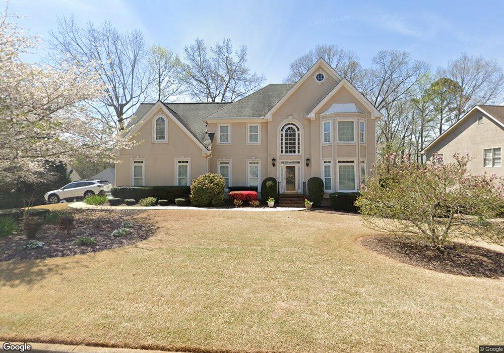
305 Rossiter Ridge Alpharetta, GA 30022
Estimated Value: $727,446 - $957,000
4
Beds
3
Baths
2,978
Sq Ft
$270/Sq Ft
Est. Value
About This Home
This home is located at 305 Rossiter Ridge, Alpharetta, GA 30022 and is currently estimated at $804,362, approximately $270 per square foot. 305 Rossiter Ridge is a home located in Fulton County with nearby schools including Ocee Elementary School, Taylor Road Middle School, and Chattahoochee High School.
Ownership History
Date
Name
Owned For
Owner Type
Purchase Details
Closed on
Nov 26, 2001
Sold by
Daniel Paul T and Daniel Carmen
Bought by
Daniel Paul T and Daniel Carmen
Current Estimated Value
Home Financials for this Owner
Home Financials are based on the most recent Mortgage that was taken out on this home.
Original Mortgage
$146,300
Interest Rate
6.5%
Mortgage Type
New Conventional
Create a Home Valuation Report for This Property
The Home Valuation Report is an in-depth analysis detailing your home's value as well as a comparison with similar homes in the area
Home Values in the Area
Average Home Value in this Area
Purchase History
| Date | Buyer | Sale Price | Title Company |
|---|---|---|---|
| Daniel Paul T | -- | -- |
Source: Public Records
Mortgage History
| Date | Status | Borrower | Loan Amount |
|---|---|---|---|
| Closed | Daniel Paul T | $146,300 |
Source: Public Records
Tax History Compared to Growth
Tax History
| Year | Tax Paid | Tax Assessment Tax Assessment Total Assessment is a certain percentage of the fair market value that is determined by local assessors to be the total taxable value of land and additions on the property. | Land | Improvement |
|---|---|---|---|---|
| 2025 | $748 | $283,200 | $83,720 | $199,480 |
| 2023 | $7,133 | $252,720 | $61,080 | $191,640 |
| 2022 | $4,291 | $190,560 | $41,480 | $149,080 |
| 2021 | $4,963 | $167,280 | $40,320 | $126,960 |
| 2020 | $4,993 | $165,280 | $39,840 | $125,440 |
| 2019 | $678 | $167,320 | $37,240 | $130,080 |
| 2018 | $4,184 | $163,360 | $36,360 | $127,000 |
| 2017 | $3,803 | $142,280 | $22,320 | $119,960 |
| 2016 | $3,463 | $140,240 | $22,320 | $117,920 |
| 2015 | $4,082 | $140,240 | $22,320 | $117,920 |
| 2014 | $3,309 | $126,360 | $24,840 | $101,520 |
Source: Public Records
Map
Nearby Homes
- 285 Rolling Mist Ct
- 710 Country Manor Way
- 10880 Windham Way
- 115 Willow View Point
- 105 Kimball Bridge Cove
- 10515 Colony Glen Dr Unit 2
- 345 Kincardine Way Unit IIIA
- 3962 Erin Dr
- 4465 Hawthorn Cir
- 4462 Hawthorn Cir
- 4475 Hawthorn Cir
- 465 Kirkstall Trail
- 10405 Meadow Crest Ln
- 125 Sandridge Ct
- 10415 Plantation Bridge Dr
- 610 Varina Way
- 3920 Brookline Dr
- 10845 Carrissa Trail
- 10520 Tuxford Dr
- 315 Rossiter Ridge
- 0 Rossiter Ridge
- 325 Rossiter Ridge
- 10515 Tuxford Dr
- 10505 Tuxford Dr
- 310 Rossiter Ridge
- 10540 Tuxford Dr Unit 5
- 10525 Tuxford Dr Unit 5
- 10550 Tuxford Dr
- 335 Rossiter Ridge
- 10480 Tuxford Dr
- 10495 Tuxford Dr
- 10535 Tuxford Dr
- 805 Ramsden Run Unit 7
- 10560 Tuxford Dr
- 615 Montauk Way
- 330 Rossiter Ridge
- 625 Montauk Way
- 10545 Tuxford Dr