305 Running Bond Dr Middletown, PA 17057
Estimated Value: $348,000 - $397,245
3
Beds
2
Baths
1,924
Sq Ft
$198/Sq Ft
Est. Value
About This Home
This home is located at 305 Running Bond Dr, Middletown, PA 17057 and is currently estimated at $380,311, approximately $197 per square foot. 305 Running Bond Dr is a home located in Dauphin County with nearby schools including Middletown Area Middle School, Middletown Area High School, and Seven Sorrows of BVM School.
Ownership History
Date
Name
Owned For
Owner Type
Purchase Details
Closed on
Jun 18, 2008
Sold by
K Murphy And Co Inc
Bought by
Donbaugh Mark D
Current Estimated Value
Home Financials for this Owner
Home Financials are based on the most recent Mortgage that was taken out on this home.
Original Mortgage
$256,500
Outstanding Balance
$165,015
Interest Rate
6.1%
Mortgage Type
New Conventional
Estimated Equity
$215,296
Create a Home Valuation Report for This Property
The Home Valuation Report is an in-depth analysis detailing your home's value as well as a comparison with similar homes in the area
Home Values in the Area
Average Home Value in this Area
Purchase History
| Date | Buyer | Sale Price | Title Company |
|---|---|---|---|
| Donbaugh Mark D | $271,965 | -- |
Source: Public Records
Mortgage History
| Date | Status | Borrower | Loan Amount |
|---|---|---|---|
| Open | Donbaugh Mark D | $256,500 |
Source: Public Records
Tax History Compared to Growth
Tax History
| Year | Tax Paid | Tax Assessment Tax Assessment Total Assessment is a certain percentage of the fair market value that is determined by local assessors to be the total taxable value of land and additions on the property. | Land | Improvement |
|---|---|---|---|---|
| 2025 | $6,964 | $179,600 | $57,600 | $122,000 |
| 2024 | $6,440 | $179,600 | $57,600 | $122,000 |
| 2023 | $6,226 | $179,600 | $57,600 | $122,000 |
| 2022 | $6,136 | $179,600 | $57,600 | $122,000 |
| 2021 | $6,136 | $179,600 | $57,600 | $122,000 |
| 2020 | $6,136 | $179,600 | $57,600 | $122,000 |
| 2019 | $5,994 | $179,600 | $57,600 | $122,000 |
| 2018 | $5,994 | $179,600 | $57,600 | $122,000 |
| 2017 | $5,918 | $179,600 | $57,600 | $122,000 |
| 2016 | $0 | $179,600 | $57,600 | $122,000 |
| 2015 | -- | $179,600 | $57,600 | $122,000 |
| 2014 | -- | $179,600 | $57,600 | $122,000 |
Source: Public Records
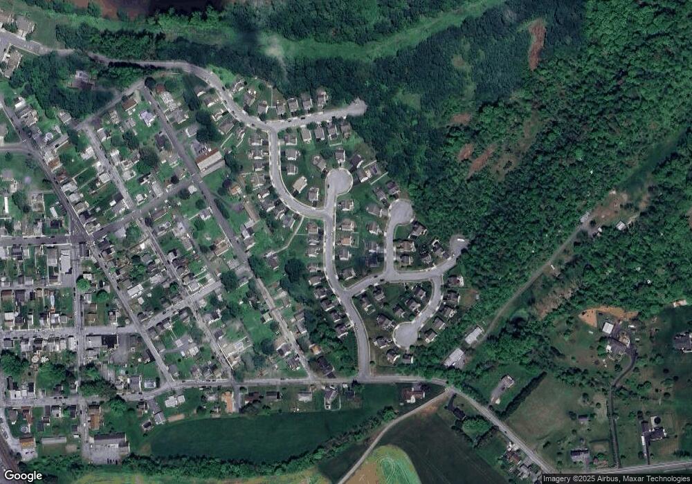
Map
Nearby Homes
- 100 Dock St
- 539 Linden St
- 18 Juniata St
- 16 Juniata St
- 240 Water St
- 219 S Union St
- 534 S Union St
- 54 Nissley St
- 121 Keystone Ave
- 166 Ann St
- 162 E Water St
- 68 E Water St
- 0 Wilson St Unit PADA2047564
- 0 Wilson St Unit L321 PADA2046888
- 416 & 418 S Lawrence St
- 41 E High St
- 47 E High St
- 1836 Felker Rd
- 327 Oak Hill Dr
- 325 Oak Hill Dr
- 309 Running Bond Dr
- 301 Running Bond Dr
- 5 Cobble Ct
- 9 Cobble Ct
- 297 Running Bond Dr
- 311 Running Bond Dr
- 300 Running Bond Dr Unit L34
- 1 Cobble Ct
- 302 Running Bond Dr
- 11 Cobble Ct
- 304 Running Bond Dr
- 59 Cobble Ct
- 306 Running Bond Dr
- 308 Running Bond Dr
- 215 Adobe Dr
- 15 Cobble Ct
- 310 Running Bond Dr
- 214 Adobe Dr
- 6 Cobble Ct
- 6 Cobble Ct Unit 12