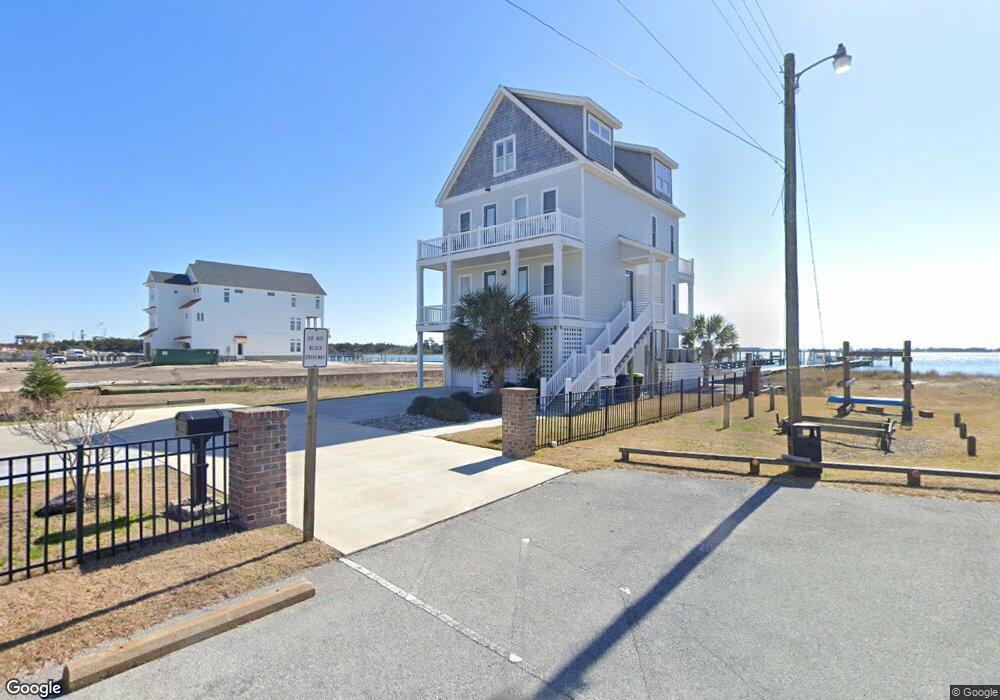
305 S 11th St Morehead City, NC 28557
Estimated Value: $1,074,000 - $2,048,059
5
Beds
4
Baths
2,655
Sq Ft
$532/Sq Ft
Est. Value
About This Home
This home is located at 305 S 11th St, Morehead City, NC 28557 and is currently estimated at $1,411,765, approximately $531 per square foot. 305 S 11th St is a home located in Carteret County with nearby schools including Morehead City Primary School, Morehead Elementary School at Camp Glenn, and Morehead City Middle School.
Ownership History
Date
Name
Owned For
Owner Type
Purchase Details
Closed on
May 3, 2018
Sold by
Lewis Kimberly and Lewis Phillip A
Bought by
Boyette Thomas Ward and Boyette Mery D
Current Estimated Value
Home Financials for this Owner
Home Financials are based on the most recent Mortgage that was taken out on this home.
Original Mortgage
$815,000
Outstanding Balance
$697,149
Interest Rate
4.12%
Mortgage Type
Adjustable Rate Mortgage/ARM
Estimated Equity
$714,616
Purchase Details
Closed on
Apr 25, 2018
Sold by
Kittrell J Bryant
Bought by
Lewis Phillip A
Home Financials for this Owner
Home Financials are based on the most recent Mortgage that was taken out on this home.
Original Mortgage
$815,000
Outstanding Balance
$697,149
Interest Rate
4.12%
Mortgage Type
Adjustable Rate Mortgage/ARM
Estimated Equity
$714,616
Purchase Details
Closed on
Nov 19, 2001
Create a Home Valuation Report for This Property
The Home Valuation Report is an in-depth analysis detailing your home's value as well as a comparison with similar homes in the area
Home Values in the Area
Average Home Value in this Area
Purchase History
| Date | Buyer | Sale Price | Title Company |
|---|---|---|---|
| Boyette Thomas Ward | $600,000 | None Available | |
| Lewis Phillip A | -- | None Available | |
| -- | $224,500 | -- |
Source: Public Records
Mortgage History
| Date | Status | Borrower | Loan Amount |
|---|---|---|---|
| Open | Boyette Thomas Ward | $815,000 |
Source: Public Records
Tax History Compared to Growth
Tax History
| Year | Tax Paid | Tax Assessment Tax Assessment Total Assessment is a certain percentage of the fair market value that is determined by local assessors to be the total taxable value of land and additions on the property. | Land | Improvement |
|---|---|---|---|---|
| 2025 | $14,105 | $2,468,153 | $1,522,490 | $945,663 |
| 2024 | $7,907 | $1,041,214 | $556,891 | $484,323 |
| 2023 | $3,555 | $1,041,214 | $556,891 | $484,323 |
| 2022 | $3,451 | $1,041,214 | $556,891 | $484,323 |
| 2021 | $3,451 | $1,041,214 | $556,891 | $484,323 |
| 2020 | $3,425 | $1,033,339 | $556,891 | $476,448 |
| 2019 | $2,976 | $955,047 | $471,916 | $483,131 |
| 2017 | $2,147 | $874,117 | $471,916 | $402,201 |
| 2016 | $1,463 | $519,242 | $471,916 | $47,326 |
| 2015 | $1,416 | $471,916 | $471,916 | $0 |
| 2014 | $1,711 | $570,358 | $570,358 | $0 |
Source: Public Records
Map
Nearby Homes
- 1103 1/2 Shepard St
- 1015 Shepard St
- 1103 Shepard St
- 1101 Shepard St
- 1101 1/2 Shepard St
- 1009 Shepard St
- 1105 Shepard St
- 1007 Shepard St
- 1107 1/2 Shepard St
- 1107 Shepard St
- 1008 1/2 Shepard St
- 1010 Shepard St
- 1008 Shepard St
- 1109 1/2 Shepard St
- 1109 Shepard St
- 1102 Shepard St
- 1111 1/2 Shepard St
- 1111 Shepard St
- 1111 1/2 Shepard St
- 1004 Shepard St