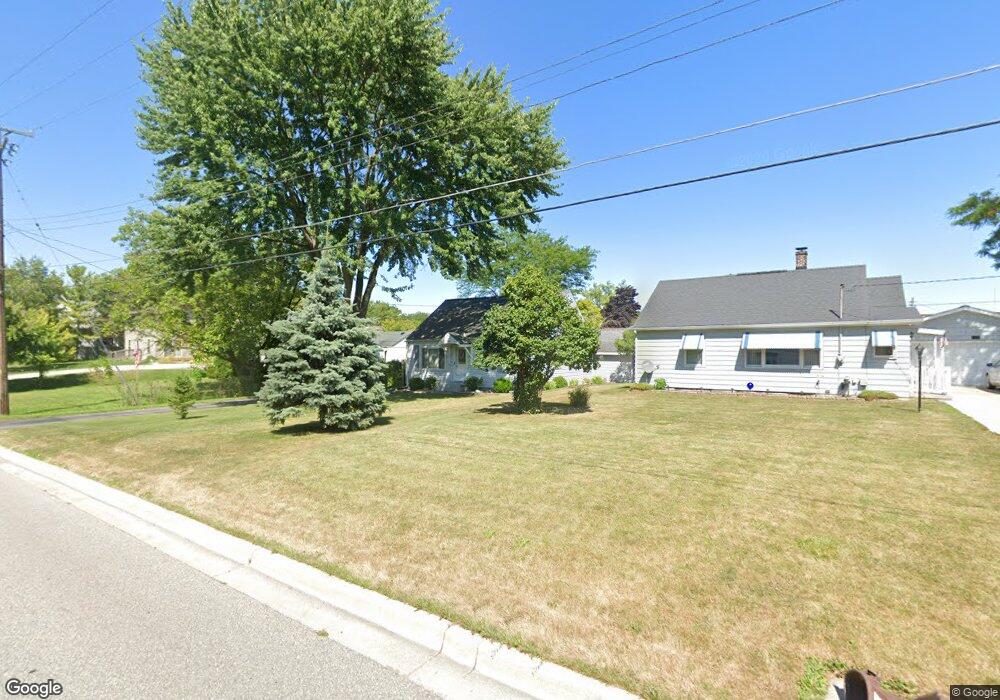
305 S 2nd St Freeland, MI 48623
Freeland NeighborhoodEstimated Value: $127,893 - $153,000
3
Beds
1
Bath
960
Sq Ft
$145/Sq Ft
Est. Value
About This Home
This home is located at 305 S 2nd St, Freeland, MI 48623 and is currently estimated at $139,473, approximately $145 per square foot. 305 S 2nd St is a home located in Saginaw County with nearby schools including Freeland Learning Center, Freeland Elementary School, and Freeland Middle/High School.
Ownership History
Date
Name
Owned For
Owner Type
Purchase Details
Closed on
Mar 31, 2017
Sold by
Petricevic Paul H and Petricevic Rosalie M
Bought by
Petricevic Ft
Current Estimated Value
Purchase Details
Closed on
Oct 4, 2010
Sold by
Campbell David L and Campbell Debra E
Bought by
Petricevic Paul H and Petricevic Rosalie M
Purchase Details
Closed on
Sep 16, 2010
Sold by
Campbell Floyd R and Campbell Betty M
Bought by
Retricevic Paul H and Retricevic Rosalie M
Purchase Details
Closed on
May 12, 1989
Create a Home Valuation Report for This Property
The Home Valuation Report is an in-depth analysis detailing your home's value as well as a comparison with similar homes in the area
Home Values in the Area
Average Home Value in this Area
Purchase History
| Date | Buyer | Sale Price | Title Company |
|---|---|---|---|
| Petricevic Ft | -- | -- | |
| Petricevic Paul H | -- | -- | |
| Retricevic Paul H | -- | -- | |
| -- | $31,900 | -- |
Source: Public Records
Tax History Compared to Growth
Tax History
| Year | Tax Paid | Tax Assessment Tax Assessment Total Assessment is a certain percentage of the fair market value that is determined by local assessors to be the total taxable value of land and additions on the property. | Land | Improvement |
|---|---|---|---|---|
| 2025 | $1,408 | $50,300 | $0 | $0 |
| 2024 | $346 | $45,300 | $0 | $0 |
| 2023 | $330 | $37,100 | $0 | $0 |
| 2022 | $1,173 | $35,000 | $0 | $0 |
| 2021 | $1,083 | $33,800 | $0 | $0 |
| 2020 | $1,045 | $30,800 | $0 | $0 |
| 2019 | $1,007 | $27,700 | $0 | $0 |
| 2018 | $288 | $27,300 | $0 | $0 |
| 2017 | $920 | $27,000 | $0 | $0 |
| 2016 | $914 | $27,000 | $0 | $0 |
| 2014 | -- | $29,600 | $0 | $22,100 |
| 2013 | -- | $29,300 | $0 | $0 |
Source: Public Records
Map
Nearby Homes
- 315 S 2nd St
- 590 Church St
- 160 N 4th St
- 147 S 7th St
- 335 Third St
- 1040 Wheelock St
- 10190 Dove Dr
- 9100 Brook Hollow Ln
- 8231 Midland Rd
- 1175 N Dawn Dr
- 8326 Waxwing Dr
- 8421 Waxwing Dr
- 8 Willow Point Dr
- 11182 Thornberry Dr
- 8311 Summer Ridge Dr
- 11216 Thornberry Dr
- 7049 Midland Rd
- 8599 Ashland Place
- 7724 Hillbridge Dr
- 8699 Ashland Place