Estimated Value: $402,632 - $414,000
4
Beds
3
Baths
2,900
Sq Ft
$141/Sq Ft
Est. Value
About This Home
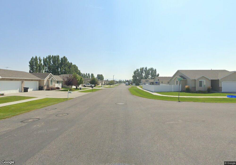
This home is located at 305 S Ensign Dr, Ammon, ID 83406 and is currently estimated at $409,908, approximately $141 per square foot. 305 S Ensign Dr is a home located in Bonneville County with nearby schools including Hillview Elementary School, Sandcreek Middle School, and Hillcrest High School.
Ownership History
Date
Name
Owned For
Owner Type
Purchase Details
Closed on
Sep 17, 2015
Sold by
Poer Jack and Poer Deloris
Bought by
Newland William R
Current Estimated Value
Home Financials for this Owner
Home Financials are based on the most recent Mortgage that was taken out on this home.
Original Mortgage
$171,000
Outstanding Balance
$134,080
Interest Rate
3.86%
Mortgage Type
New Conventional
Estimated Equity
$275,828
Purchase Details
Closed on
Sep 10, 2015
Sold by
Edwards Cindy and Newland William R
Bought by
Newland William R
Home Financials for this Owner
Home Financials are based on the most recent Mortgage that was taken out on this home.
Original Mortgage
$171,000
Outstanding Balance
$134,080
Interest Rate
3.86%
Mortgage Type
New Conventional
Estimated Equity
$275,828
Purchase Details
Closed on
Jun 28, 2006
Sold by
Johnson Jay W and Johnson Brenda R
Bought by
Poer Jack and Poer Deloris
Create a Home Valuation Report for This Property
The Home Valuation Report is an in-depth analysis detailing your home's value as well as a comparison with similar homes in the area
Purchase History
| Date | Buyer | Sale Price | Title Company |
|---|---|---|---|
| Newland William R | -- | Titleone | |
| Newland William R | -- | Titleone | |
| Poer Jack | -- | None Available |
Source: Public Records
Mortgage History
| Date | Status | Borrower | Loan Amount |
|---|---|---|---|
| Open | Newland William R | $171,000 |
Source: Public Records
Tax History
| Year | Tax Paid | Tax Assessment Tax Assessment Total Assessment is a certain percentage of the fair market value that is determined by local assessors to be the total taxable value of land and additions on the property. | Land | Improvement |
|---|---|---|---|---|
| 2025 | $2,087 | $513,110 | $79,775 | $433,335 |
| 2024 | $2,144 | $530,082 | $77,931 | $452,151 |
| 2023 | $1,916 | $440,948 | $77,998 | $362,950 |
| 2022 | $2,215 | $382,168 | $54,848 | $327,320 |
| 2021 | $1,990 | $277,721 | $49,821 | $227,900 |
| 2019 | $2,020 | $240,345 | $43,285 | $197,060 |
| 2018 | $1,617 | $245,603 | $35,413 | $210,190 |
| 2017 | $1,427 | $212,239 | $21,249 | $190,990 |
| 2016 | $1,356 | $197,473 | $19,313 | $178,160 |
| 2015 | $1,216 | $169,823 | $19,313 | $150,510 |
| 2014 | $20,291 | $169,823 | $19,313 | $150,510 |
| 2013 | $1,210 | $167,042 | $19,312 | $147,730 |
Source: Public Records
Map
Nearby Homes
- 4315 Stubblefield Ct
- 4139 Fairview Dr
- 171 Robison Dr
- 243 S Bridger Dr
- 225 Monte Vista Ave
- 167 S Heath Ln
- 169 S Heath Ln
- 4125 E Lance
- 4170 E Spartina
- 4150 Greenwillow Ln
- 978 Edinburg Cir
- 820 S Adam Ln
- 3736 Ellendale Cir
- 3828 Briar Creek Cir
- 3684 Briar Creek Ln
- 3472 Leroy Dr
- 1406 Bellagio Dr
- 1468 Bellagio Dr
- 260 Clary Ave
- TBD E 17th St
- 305 Ensign Dr
- 289 Ensign Dr
- 329 Ensign Dr
- 339 Ensign Dr
- 4116 E
- 261 Ensign Dr
- 4225 Fairview Dr
- 359 Ensign Dr
- 261 S Ensign Dr
- 310 S Wheatfield Ln
- 288 S Wheatfield Ln
- 4202 Fairview Dr
- 262 S Wheatfield Ln
- 4202 Fairview Rd
- 245 Ensign Dr
- 4226 Mathews Dr
- 369 Ensign Dr
- 4193 Fairview Dr
- 366 S Wheatfield Ln
- 4190 Fairview Dr
Your Personal Tour Guide
Ask me questions while you tour the home.