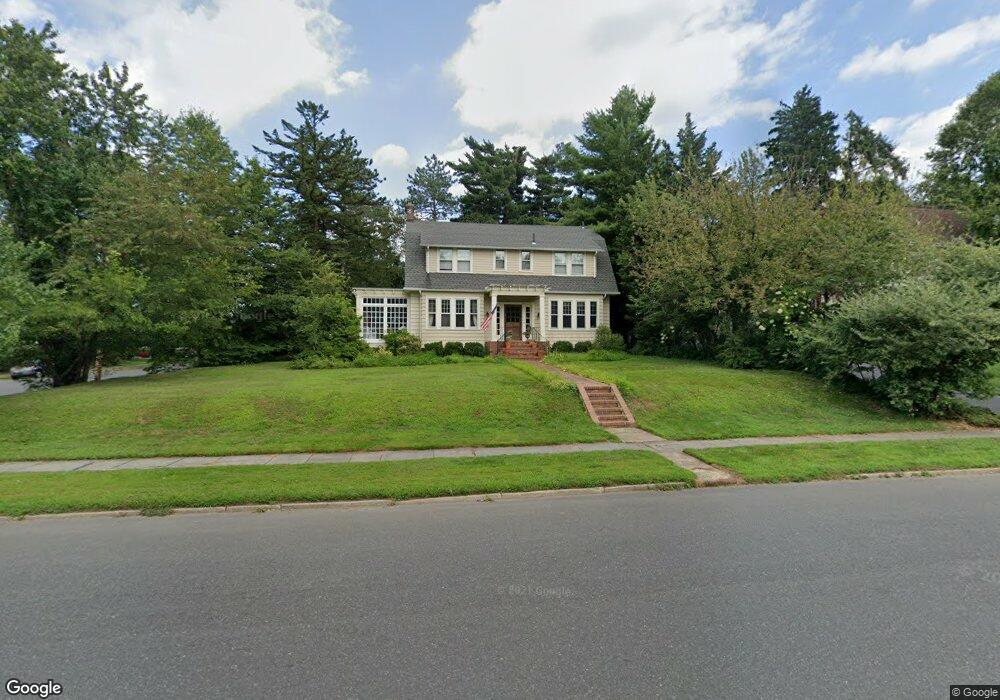
305 S Euclid Ave Westfield, NJ 07090
Estimated Value: $1,351,397 - $1,641,000
--
Bed
--
Bath
2,204
Sq Ft
$692/Sq Ft
Est. Value
About This Home
This home is located at 305 S Euclid Ave, Westfield, NJ 07090 and is currently estimated at $1,525,849, approximately $692 per square foot. 305 S Euclid Ave is a home located in Union County with nearby schools including Washington Elementary School, Roosevelt Intermediate School, and Westfield Senior High School.
Ownership History
Date
Name
Owned For
Owner Type
Purchase Details
Closed on
Dec 3, 2012
Sold by
Mucci John L and Mucci Heidi Ann
Bought by
Mucci John L
Current Estimated Value
Home Financials for this Owner
Home Financials are based on the most recent Mortgage that was taken out on this home.
Original Mortgage
$295,000
Interest Rate
2.62%
Mortgage Type
Adjustable Rate Mortgage/ARM
Purchase Details
Closed on
Jul 16, 2008
Sold by
Mucci John
Bought by
Mucci John L and Mucci Heidi Ann
Home Financials for this Owner
Home Financials are based on the most recent Mortgage that was taken out on this home.
Original Mortgage
$300,000
Interest Rate
6.47%
Mortgage Type
New Conventional
Create a Home Valuation Report for This Property
The Home Valuation Report is an in-depth analysis detailing your home's value as well as a comparison with similar homes in the area
Home Values in the Area
Average Home Value in this Area
Purchase History
| Date | Buyer | Sale Price | Title Company |
|---|---|---|---|
| Mucci John L | -- | Title Trust Llc | |
| Mucci John L | -- | None Available |
Source: Public Records
Mortgage History
| Date | Status | Borrower | Loan Amount |
|---|---|---|---|
| Closed | Mucci John L | $295,000 | |
| Closed | Mucci John L | $300,000 |
Source: Public Records
Tax History Compared to Growth
Tax History
| Year | Tax Paid | Tax Assessment Tax Assessment Total Assessment is a certain percentage of the fair market value that is determined by local assessors to be the total taxable value of land and additions on the property. | Land | Improvement |
|---|---|---|---|---|
| 2025 | $23,673 | $1,051,200 | $822,000 | $229,200 |
| 2024 | $23,189 | $1,051,200 | $822,000 | $229,200 |
| 2023 | $23,189 | $1,051,200 | $822,000 | $229,200 |
| 2022 | $22,706 | $1,051,200 | $822,000 | $229,200 |
| 2021 | $22,737 | $1,051,200 | $822,000 | $229,200 |
| 2020 | $22,685 | $1,051,200 | $822,000 | $229,200 |
| 2019 | $22,601 | $1,051,200 | $822,000 | $229,200 |
| 2018 | $19,050 | $204,900 | $103,300 | $101,600 |
| 2017 | $18,945 | $204,900 | $103,300 | $101,600 |
| 2016 | $18,500 | $204,900 | $103,300 | $101,600 |
| 2015 | $18,132 | $204,900 | $103,300 | $101,600 |
| 2014 | $17,533 | $204,900 | $103,300 | $101,600 |
Source: Public Records
Map
Nearby Homes
- 629 Tremont Ave
- 149 Harrison Ave
- 203 Ross Place
- 215 Ross Place Unit J
- 529 Benson Place
- 112 Linden Ave
- 522 Boulevard
- 603 Carleton Rd
- 112 Windsor Ave
- 519 3rd Ave
- 613 Maple Ct Unit 613
- 260 Prospect St Unit C15
- 131 Wells St
- 415 Highland Ave
- 500 Maple Ct Unit 500
- 645 Kimball Ave
- 538 Westfield Ave
- 304 E Dudley Ave
- 820 E Broad St
- 303 Prospect St
- 514 Saint Marks Ave
- 309 S Euclid Ave
- 219 S Euclid Ave
- 518 Saint Marks Ave
- 515 Saint Marks Ave
- 304 S Euclid Ave
- 519 Saint Marks Ave
- 521 Tremont Ave
- 310 S Euclid Ave
- 526 Saint Marks Ave
- 211 S Euclid Ave
- 220 S Euclid Ave
- 523 Saint Marks Ave
- 530 Saint Marks Ave
- 318 S Euclid Ave
- 529 Tremont Ave
- 531 Saint Marks Ave
- 210 S Euclid Ave
- 438 Saint Marks Ave
- 512 Lenox Ave