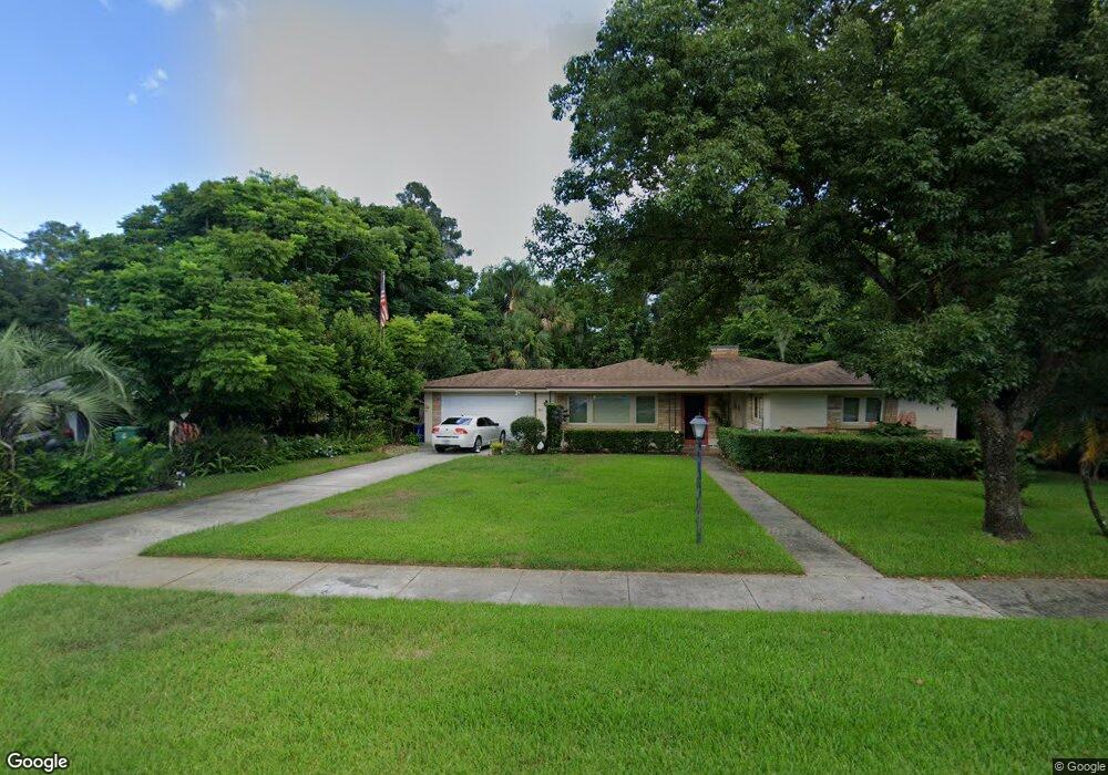
305 S Palm Ave Deland, FL 32720
Estimated Value: $280,000 - $291,000
3
Beds
3
Baths
2,139
Sq Ft
$134/Sq Ft
Est. Value
About This Home
This home is located at 305 S Palm Ave, Deland, FL 32720 and is currently estimated at $285,779, approximately $133 per square foot. 305 S Palm Ave is a home located in Volusia County with nearby schools including Edith I. Starke Elementary School, Deland High School, and Southwestern Middle School.
Ownership History
Date
Name
Owned For
Owner Type
Purchase Details
Closed on
Jul 11, 2003
Sold by
Hunter Edward Walter and Hunter Ed
Bought by
Hunter Edward Walter and Hunter Ed
Current Estimated Value
Purchase Details
Closed on
Dec 22, 1998
Sold by
Lyter Billie D
Bought by
Hunter Edward Walter and Hunter Ed
Home Financials for this Owner
Home Financials are based on the most recent Mortgage that was taken out on this home.
Original Mortgage
$62,900
Interest Rate
6.94%
Mortgage Type
Purchase Money Mortgage
Create a Home Valuation Report for This Property
The Home Valuation Report is an in-depth analysis detailing your home's value as well as a comparison with similar homes in the area
Home Values in the Area
Average Home Value in this Area
Purchase History
| Date | Buyer | Sale Price | Title Company |
|---|---|---|---|
| Hunter Edward Walter | $35,000 | -- | |
| Hunter Edward Walter | $70,000 | -- |
Source: Public Records
Mortgage History
| Date | Status | Borrower | Loan Amount |
|---|---|---|---|
| Previous Owner | Hunter Edward Walter | $62,900 |
Source: Public Records
Tax History Compared to Growth
Tax History
| Year | Tax Paid | Tax Assessment Tax Assessment Total Assessment is a certain percentage of the fair market value that is determined by local assessors to be the total taxable value of land and additions on the property. | Land | Improvement |
|---|---|---|---|---|
| 2025 | $979 | $100,706 | -- | -- |
| 2024 | $979 | $97,868 | -- | -- |
| 2023 | $979 | $95,018 | $0 | $0 |
| 2022 | $944 | $92,250 | $0 | $0 |
| 2021 | $958 | $89,563 | $0 | $0 |
| 2020 | $937 | $88,326 | $0 | $0 |
| 2019 | $937 | $86,340 | $0 | $0 |
| 2018 | $939 | $84,730 | $0 | $0 |
| 2017 | $932 | $82,987 | $0 | $0 |
| 2016 | $890 | $81,280 | $0 | $0 |
| 2015 | $909 | $80,715 | $0 | $0 |
| 2014 | $914 | $80,074 | $0 | $0 |
Source: Public Records
Map
Nearby Homes
- 247 S Marydell Ave
- 305 S Stone St
- 241 S Marydell Ave
- 131 S Stone St
- 817 W Euclid Ave
- 624 W Euclid Ave
- 134 S Julia Ave
- 128 S Montgomery Ave
- 111 N Stone St
- 536 W Hubbard Ave
- 621 W Indiana Ave Unit 13
- 800 W Hubbard Ave
- 632 W Hubbard Ave
- 0 S Thompson St
- W SR 44, New York Ave W
- 534 S Adelle Ave
- 526 W Hubbard Ave
- 406 S Delaware Ave
- 807 W Church St
- 0 N Spring Garden Ave Unit MFRO6340602
- 736 W Voorhis Ave
- 320 Edgewood Blvd
- 300 Edgewood Blvd
- 0 W Voorhis Ave Unit MFRO6196903
- 0 W Voorhis Ave Unit O6064668
- 0 W Voorhis Ave Unit V4624128
- 0 W Voorhis Ave Unit V4634426
- 0 W Voorhis Ave Unit V4637527
- 0 W Voorhis Ave Unit V4638045
- 0 W Voorhis Ave Unit V4644596
- 800 W Voorhis Ave
- 310 S Palm Ave
- 731 W Voorhis Ave
- lot 8 W Voorhis Ave
- 737 W Voorhis Ave
- 251 S Marydell Ave
- 330 Edgewood Blvd
- 314 S Palm Ave
- 311 S Orleans Ave
- 330 S Stone St