305 S West St Weyauwega, WI 54983
Estimated Value: $197,000 - $223,000
3
Beds
2
Baths
1,196
Sq Ft
$177/Sq Ft
Est. Value
About This Home
This home is located at 305 S West St, Weyauwega, WI 54983 and is currently estimated at $211,233, approximately $176 per square foot. 305 S West St is a home located in Waupaca County with nearby schools including Weyauwega Elementary School, Weyauwega Middle School, and Weyauwega High School.
Ownership History
Date
Name
Owned For
Owner Type
Purchase Details
Closed on
Oct 13, 2009
Sold by
Hudziak Marlin
Bought by
Boelter Michaelle L
Current Estimated Value
Create a Home Valuation Report for This Property
The Home Valuation Report is an in-depth analysis detailing your home's value as well as a comparison with similar homes in the area
Home Values in the Area
Average Home Value in this Area
Purchase History
| Date | Buyer | Sale Price | Title Company |
|---|---|---|---|
| Boelter Michaelle L | $99,000 | None Available |
Source: Public Records
Tax History Compared to Growth
Tax History
| Year | Tax Paid | Tax Assessment Tax Assessment Total Assessment is a certain percentage of the fair market value that is determined by local assessors to be the total taxable value of land and additions on the property. | Land | Improvement |
|---|---|---|---|---|
| 2024 | $3,870 | $185,000 | $26,200 | $158,800 |
| 2023 | $3,870 | $185,000 | $26,200 | $158,800 |
| 2022 | $3,153 | $121,400 | $20,900 | $100,500 |
| 2021 | $2,871 | $121,400 | $20,900 | $100,500 |
| 2020 | $2,827 | $121,400 | $20,900 | $100,500 |
| 2019 | $2,537 | $121,400 | $20,900 | $100,500 |
| 2018 | $2,639 | $121,400 | $20,900 | $100,500 |
| 2017 | $2,616 | $121,400 | $20,900 | $100,500 |
| 2016 | $2,519 | $121,400 | $20,900 | $100,500 |
| 2015 | $2,543 | $121,400 | $20,900 | $100,500 |
| 2014 | $2,493 | $118,500 | $20,900 | $97,600 |
| 2013 | $2,603 | $118,500 | $20,900 | $97,600 |
Source: Public Records
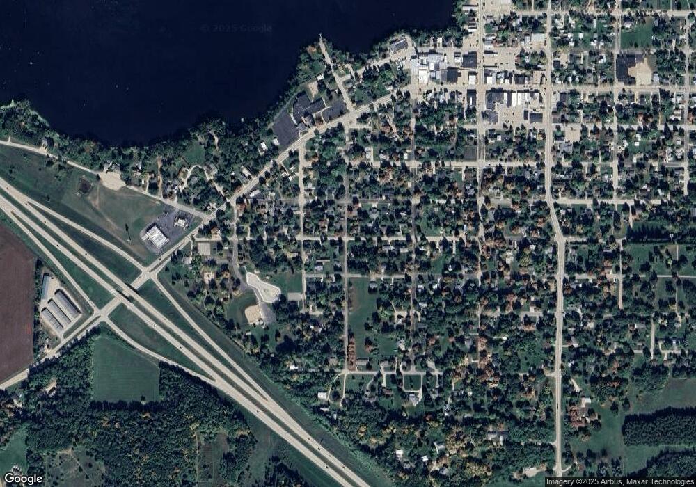
Map
Nearby Homes
- 0 Wisconsin 49
- 103 W Main St
- 0 Hillside Dr Unit 50308768
- 0 Hillside Dr Unit 50311949
- 201 2nd Ave
- 1009 Mill Pond Cir
- 1019 Mill Pond Cir
- 5599 County Road Aa
- 0 Koplien Rd Unit 50309317
- 0 Guth Rd Unit 50315739
- E4347 E Gate Dr
- E5975 Sunset Ct
- N555 Brown Rd
- 0 Runway Dr Unit 50291193
- 0 Runway Dr Unit 50256086
- 0 Runway Dr Unit 50179248
- N2837 Ona Pines Rd
- N2833 Ona Pines Rd
- N2719 Ona Pines Rd
- 0 Commercial Dr Unit 50291246
- 301 W Parker St
- 305 W Parker St
- 210 W High St
- 401 S West St
- 311 W Parker St
- 215 W Parker St
- 0 W Parker St
- 307 W High St
- 311 W High St
- 310 W High St
- 211 W High St
- 203 S West St
- 405 S West St
- 206 W High St
- 302 W Parker St
- 306 W Parker St
- 213 W Parker St
- 206 Emerald St
- 212 W Parker St
- 304 W Birdsall St