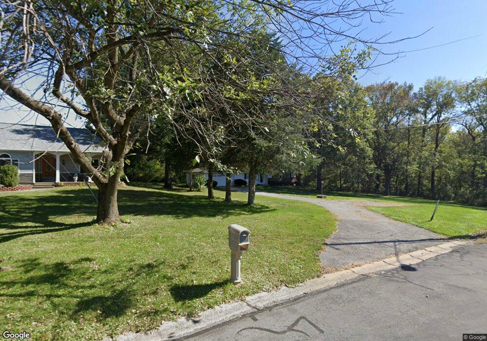
305 S Wilson Heights Rd Collinsville, IL 62234
Estimated Value: $220,948 - $275,000
--
Bed
1
Bath
1,456
Sq Ft
$169/Sq Ft
Est. Value
About This Home
This home is located at 305 S Wilson Heights Rd, Collinsville, IL 62234 and is currently estimated at $246,487, approximately $169 per square foot. 305 S Wilson Heights Rd is a home located in Madison County with nearby schools including Silver Creek Elementary School, Triad Middle School, and Triad High School.
Ownership History
Date
Name
Owned For
Owner Type
Purchase Details
Closed on
Dec 19, 2018
Sold by
Chamberlain Nancy J
Bought by
Chamberlain Andrew T and Stock Lisa A
Current Estimated Value
Purchase Details
Closed on
Aug 22, 2018
Sold by
Chamberlain Ethel and Chamberlain Nancy Joan
Bought by
Chamberlain Nancy Joan
Purchase Details
Closed on
Mar 3, 2016
Sold by
Chamberlain Ethel and Chamberlain Richard T
Bought by
Chamberlain Ethel and Chamberlain Nancy Joan
Create a Home Valuation Report for This Property
The Home Valuation Report is an in-depth analysis detailing your home's value as well as a comparison with similar homes in the area
Home Values in the Area
Average Home Value in this Area
Purchase History
| Date | Buyer | Sale Price | Title Company |
|---|---|---|---|
| Chamberlain Andrew T | -- | Abstracts & Titles | |
| Chamberlain Nancy J | -- | Abstracts & Titles | |
| Chamberlain Nancy Joan | $310,000 | None Available | |
| Chamberlain Ethel | -- | Guaranty Title Co |
Source: Public Records
Tax History Compared to Growth
Tax History
| Year | Tax Paid | Tax Assessment Tax Assessment Total Assessment is a certain percentage of the fair market value that is determined by local assessors to be the total taxable value of land and additions on the property. | Land | Improvement |
|---|---|---|---|---|
| 2024 | $2,097 | $55,470 | $11,420 | $44,050 |
| 2023 | $2,097 | $51,980 | $11,650 | $40,330 |
| 2022 | $2,165 | $48,060 | $10,770 | $37,290 |
| 2021 | $1,275 | $45,150 | $10,120 | $35,030 |
| 2020 | $1,318 | $43,080 | $9,660 | $33,420 |
| 2019 | $1,331 | $50,490 | $9,580 | $40,910 |
| 2018 | $1,356 | $47,840 | $9,080 | $38,760 |
| 2017 | $2,883 | $46,890 | $8,900 | $37,990 |
| 2016 | $2,871 | $46,890 | $8,900 | $37,990 |
| 2015 | $1,273 | $45,670 | $8,670 | $37,000 |
| 2014 | $1,273 | $45,670 | $8,670 | $37,000 |
| 2013 | $1,273 | $45,670 | $8,670 | $37,000 |
Source: Public Records
Map
Nearby Homes
- 7 Keiths Ct
- 189 Meyer Dr
- 226 Woodridge Ct
- 130 Hilltop Place
- 7302 W Kirsch Rd
- 1815 Robins Mill Ct
- 1819 Robin Mills Ct
- 1826 Robin Mills Ct
- 1830 Robin Mills Ct
- 1831 Crimson Oak Dr
- 1844 Crimson Oak Dr
- 963 Long Branch Rd
- 961 Weathervane Ln
- 2033 Mapleleaf Dr
- 908 Long Branch Rd
- 1205 Antler Dr
- 2009 Buttonwood Ct
- 201 S Lange Ave
- 919 Carla Dr
- 131 E Country Ln
- 301 S Wilson Heights Rd
- 100 Melanie Ln
- 100 Rebecca Ct
- 111 S Wilson Heights Rd
- 102 Rebecca Ct
- 102 Melanie Ln
- 109 S Wilson Heights Rd
- 103 Melanie Ln
- 104 Melanie Ln
- 104 Rebecca Ct
- 104 Rebecca Ct
- 107 S Wilson Heights Rd
- 101 Rebecca Ct
- 103 Rebecca Ct
- 105 S Wilson Heights Rd
- 110 Melanie Ln
- 132 David Dr
- 102 S Wilson Heights Rd
- 107 Melanie Ln
- 7211 Loyet Rd