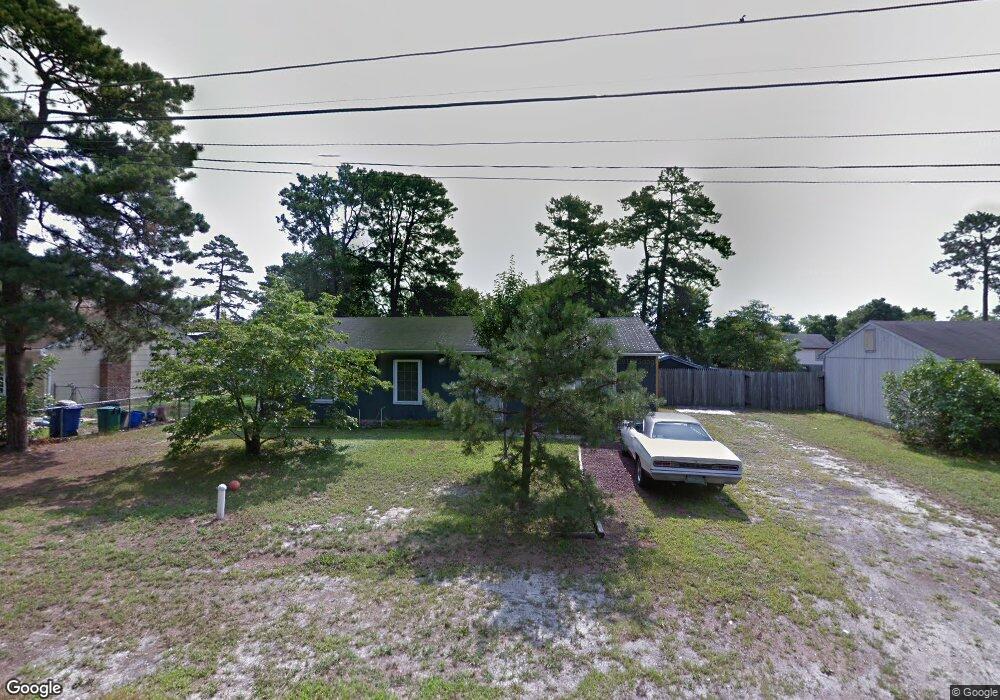
305 Shoshoni Trail Browns Mills, NJ 08015
Estimated Value: $310,928 - $352,000
--
Bed
--
Bath
1,274
Sq Ft
$259/Sq Ft
Est. Value
About This Home
This home is located at 305 Shoshoni Trail, Browns Mills, NJ 08015 and is currently estimated at $329,482, approximately $258 per square foot. 305 Shoshoni Trail is a home located in Burlington County.
Ownership History
Date
Name
Owned For
Owner Type
Purchase Details
Closed on
Jun 8, 2010
Sold by
Meltreder Denise
Bought by
Meltreder William
Current Estimated Value
Home Financials for this Owner
Home Financials are based on the most recent Mortgage that was taken out on this home.
Original Mortgage
$123,500
Outstanding Balance
$82,811
Interest Rate
4.98%
Mortgage Type
New Conventional
Estimated Equity
$246,671
Purchase Details
Closed on
Nov 22, 2000
Sold by
Pnb Inc
Bought by
Meltreder William
Purchase Details
Closed on
Oct 16, 2000
Sold by
Savana Robert N and Savana Anna Marie
Bought by
Pnb Inc
Create a Home Valuation Report for This Property
The Home Valuation Report is an in-depth analysis detailing your home's value as well as a comparison with similar homes in the area
Home Values in the Area
Average Home Value in this Area
Purchase History
| Date | Buyer | Sale Price | Title Company |
|---|---|---|---|
| Meltreder William | -- | Insignia Title & Abstract | |
| Meltreder William | $71,500 | Congress Title Corp | |
| Pnb Inc | $49,420 | -- |
Source: Public Records
Mortgage History
| Date | Status | Borrower | Loan Amount |
|---|---|---|---|
| Open | Meltreder William | $123,500 |
Source: Public Records
Tax History Compared to Growth
Tax History
| Year | Tax Paid | Tax Assessment Tax Assessment Total Assessment is a certain percentage of the fair market value that is determined by local assessors to be the total taxable value of land and additions on the property. | Land | Improvement |
|---|---|---|---|---|
| 2025 | $4,236 | $138,200 | $37,800 | $100,400 |
| 2024 | $3,975 | $138,200 | $37,800 | $100,400 |
| 2023 | $3,975 | $138,200 | $37,800 | $100,400 |
| 2022 | $3,679 | $138,200 | $37,800 | $100,400 |
| 2021 | $3,240 | $138,200 | $37,800 | $100,400 |
| 2020 | $3,396 | $138,200 | $37,800 | $100,400 |
| 2019 | $3,252 | $138,200 | $37,800 | $100,400 |
| 2018 | $3,141 | $138,200 | $37,800 | $100,400 |
| 2017 | $3,076 | $138,200 | $37,800 | $100,400 |
| 2016 | $3,245 | $86,800 | $22,300 | $64,500 |
| 2015 | $3,219 | $86,800 | $22,300 | $64,500 |
| 2014 | $3,077 | $86,800 | $22,300 | $64,500 |
Source: Public Records
Map
Nearby Homes
- 306 Apache Trail
- 208 Wichita Trail
- 315 Algonquin Trail
- 310 Piute Trail
- 304 Spring Lake Blvd
- 304 Mohawk Trail
- 219 Chippewa Trail
- 224 Cherokee Dr
- 1714 Red Feather Trail
- 419 Chippewa Trail
- 111 Huckleberry Ln
- 77 Sepulga Dr
- 13 Muskogean Trail
- 22 Maricopa Trail
- 2 Kiowa Trail
- 1 S Branch Dr
- 505 Wisconsin Trail
- 307 Colorado Trail
- 209 Colorado Trail
- 500 New York Rd
- 307 Shoshoni Trail
- 303 Shoshoni Trail
- 304 Algonquin Trail
- 306 Algonquin Trail
- 302 Algonquin Trail
- 309 Shoshoni Trail
- 304 Shoshoni Trail
- 301 Shoshoni Trail
- 306 Shoshoni Trail
- 302 Shoshoni Trail
- 602 Red Feather Trail
- 308 Algonquin Trail
- 300 Algonquin Trail
- 308 Shoshoni Trail
- 504 Red Feather Trail
- 311 Shoshoni Trail
- 310 Algonquin Trail
- 307 Algonquin Trail
- 310 Shoshoni Trail
- 502 Red Feather Trail