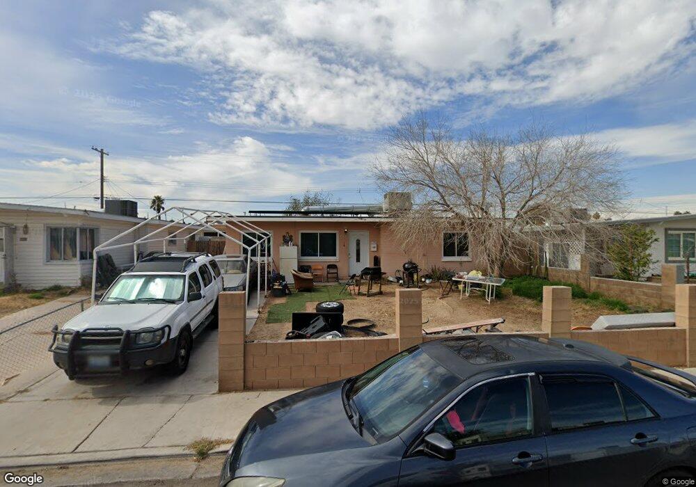
305 Stanford St Las Vegas, NV 89107
Michael Way NeighborhoodEstimated Value: $226,000 - $303,000
2
Beds
1
Bath
983
Sq Ft
$279/Sq Ft
Est. Value
About This Home
This home is located at 305 Stanford St, Las Vegas, NV 89107 and is currently estimated at $273,918, approximately $278 per square foot. 305 Stanford St is a home located in Clark County with nearby schools including J.T. McWlliams Elementary School, Robert O Gibson Middle School, and Western High School.
Ownership History
Date
Name
Owned For
Owner Type
Purchase Details
Closed on
Apr 30, 2004
Sold by
Ougsley Robert D and Pugsley David G
Bought by
Dela Torre Francisco and Dela Torre Rubertina
Current Estimated Value
Home Financials for this Owner
Home Financials are based on the most recent Mortgage that was taken out on this home.
Original Mortgage
$103,984
Outstanding Balance
$48,342
Interest Rate
5.38%
Mortgage Type
Unknown
Estimated Equity
$225,576
Purchase Details
Closed on
Dec 19, 1994
Sold by
Burr Jeffrey L and Spencer Willard H
Bought by
Pugsley Robert D and Pugsley David G
Home Financials for this Owner
Home Financials are based on the most recent Mortgage that was taken out on this home.
Original Mortgage
$49,600
Interest Rate
9.25%
Create a Home Valuation Report for This Property
The Home Valuation Report is an in-depth analysis detailing your home's value as well as a comparison with similar homes in the area
Home Values in the Area
Average Home Value in this Area
Purchase History
| Date | Buyer | Sale Price | Title Company |
|---|---|---|---|
| Dela Torre Francisco | $107,200 | Lawyers Title Of Nevada | |
| Pugsley Robert D | $62,000 | Land Title |
Source: Public Records
Mortgage History
| Date | Status | Borrower | Loan Amount |
|---|---|---|---|
| Open | Dela Torre Francisco | $103,984 | |
| Previous Owner | Pugsley Robert D | $49,600 |
Source: Public Records
Tax History Compared to Growth
Tax History
| Year | Tax Paid | Tax Assessment Tax Assessment Total Assessment is a certain percentage of the fair market value that is determined by local assessors to be the total taxable value of land and additions on the property. | Land | Improvement |
|---|---|---|---|---|
| 2025 | $661 | $38,345 | $25,200 | $13,145 |
| 2024 | $613 | $38,345 | $25,200 | $13,145 |
| 2023 | $613 | $37,768 | $25,900 | $11,868 |
| 2022 | $568 | $31,665 | $21,000 | $10,665 |
| 2021 | $526 | $28,096 | $18,200 | $9,896 |
| 2020 | $485 | $24,684 | $15,050 | $9,634 |
| 2019 | $455 | $24,337 | $15,050 | $9,287 |
| 2018 | $434 | $19,202 | $10,500 | $8,702 |
| 2017 | $604 | $18,423 | $9,800 | $8,623 |
| 2016 | $408 | $15,362 | $7,000 | $8,362 |
| 2015 | $405 | $13,365 | $5,250 | $8,115 |
| 2014 | $394 | $11,814 | $3,780 | $8,034 |
Source: Public Records
Map
Nearby Homes
- 424 Stanford St
- 421 Harvard St
- 504 N Minnesota St
- 605 Stanford St
- 5117 Arbor Way
- 104 Stanford St
- 605 N Yale St
- 4901 Nebraska Ave
- 5300 Sugarfoot Ave
- 601 Huntington St
- 0 N Decatur Blvd
- 5250 Mission Carmel Ln Unit 102
- 5250 Mission Carmel Ln Unit 204
- 5420 Moonstruck Ave
- 5220 Mission Carmel Ln Unit 103
- 5220 Mission Carmel Ln Unit 107
- 5260 Mission Monterey Ln Unit 105
- 220 Mission Catalina Ln Unit 207
- 230 Mission Newport Ln Unit 104
- 5261 Mission Carmel Ln Unit 204
- 309 Stanford St
- 301 Stanford St
- 5000 Kansas Ave
- 313 Stanford St
- 300 N Minnesota St
- 308 N Minnesota St
- 304 Stanford St
- 312 N Minnesota St
- 308 Stanford St
- 5012 Kansas Ave
- 300 Stanford St
- 317 Stanford St
- 312 Stanford St
- 4930 Kansas Ave
- 5001 Kansas Ave
- 321 Stanford St
- 316 Stanford St
- 5013 Kansas Ave
- 320 N Minnesota St