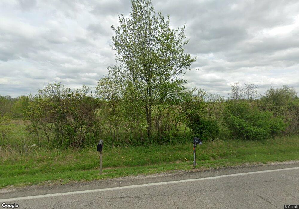
305 State Highway P Clever, MO 65631
Estimated Value: $294,000 - $335,271
5
Beds
3
Baths
2,400
Sq Ft
$134/Sq Ft
Est. Value
About This Home
This home is located at 305 State Highway P, Clever, MO 65631 and is currently estimated at $322,068, approximately $134 per square foot. 305 State Highway P is a home located in Christian County with nearby schools including Clever High School.
Ownership History
Date
Name
Owned For
Owner Type
Purchase Details
Closed on
Jul 20, 2017
Sold by
White Oak Holding Llc
Bought by
Lowther Dennis D and Lowther Anita H
Current Estimated Value
Home Financials for this Owner
Home Financials are based on the most recent Mortgage that was taken out on this home.
Original Mortgage
$93,455
Outstanding Balance
$78,648
Interest Rate
4.37%
Mortgage Type
Adjustable Rate Mortgage/ARM
Estimated Equity
$243,420
Purchase Details
Closed on
Mar 11, 2009
Sold by
Sutton Funding Llc
Bought by
White Oak Holding Llc
Create a Home Valuation Report for This Property
The Home Valuation Report is an in-depth analysis detailing your home's value as well as a comparison with similar homes in the area
Home Values in the Area
Average Home Value in this Area
Purchase History
| Date | Buyer | Sale Price | Title Company |
|---|---|---|---|
| Lowther Dennis D | -- | Great American Title | |
| White Oak Holding Llc | -- | Mokan Title Services Llc |
Source: Public Records
Mortgage History
| Date | Status | Borrower | Loan Amount |
|---|---|---|---|
| Open | Lowther Dennis D | $93,455 |
Source: Public Records
Tax History Compared to Growth
Tax History
| Year | Tax Paid | Tax Assessment Tax Assessment Total Assessment is a certain percentage of the fair market value that is determined by local assessors to be the total taxable value of land and additions on the property. | Land | Improvement |
|---|---|---|---|---|
| 2024 | $1,563 | $27,850 | -- | -- |
| 2023 | $1,563 | $27,850 | $0 | $0 |
| 2022 | $1,359 | $24,170 | $0 | $0 |
| 2021 | $1,362 | $24,170 | $0 | $0 |
| 2020 | $1,256 | $22,120 | $0 | $0 |
| 2019 | $1,256 | $22,120 | $0 | $0 |
| 2018 | $984 | $17,440 | $0 | $0 |
| 2017 | $984 | $17,440 | $0 | $0 |
| 2016 | $967 | $17,440 | $0 | $0 |
| 2015 | $969 | $17,440 | $17,440 | $0 |
| 2014 | $922 | $17,290 | $0 | $0 |
| 2013 | $9 | $17,290 | $0 | $0 |
| 2011 | $9 | $34,580 | $0 | $0 |
Source: Public Records
Map
Nearby Homes
- 000 State Highway P
- 000 N Public Ave
- 214 Forgey Rd
- 123 E Teakwood Ave
- 127 E Teakwood Ave
- 418 Forgey Rd
- 104 E Meadowbrook Ave
- 406 W Cherokee Path
- 7830 Snowdrop Ave
- 407 W Brown St
- 205 Ashton Ave
- 983 Thyme Rd
- 111 Ashton Ave
- 108 Ashton Ave
- 201 N Christopher Ln
- 118 Evergreen Cir
- 255 Pin Oak Ln
- 204 Rabbit Run
- 412 Westview
- 504 Wampler Dr
- 235 State Highway P
- 359 State Highway P
- 380 State Highway P
- 369 State Highway P
- 385 State Highway P
- 7431 W Veterans Blvd
- 136 State Highway P
- 0 Highway P Unit 60227465
- 552 State Highway P
- 0 State Highway P Unit 60202346
- 0 State Highway P Unit 60072966
- 136 State Highway P
- 0 State Highway P
- 376 State Highway P
- 376 State Highway P
- 376 State Highway P
- 481 State Highway P
- 415 State Highway P
- 415 State Highway P
- 136 St Highway P
