Estimated Value: $216,000 - $372,000
3
Beds
1
Bath
2,448
Sq Ft
$117/Sq Ft
Est. Value
About This Home
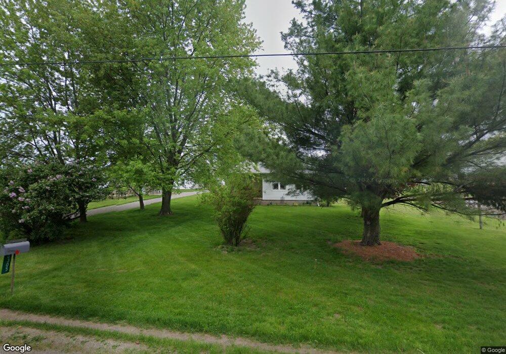
This home is located at 305 W 400 N, Howe, IN 46746 and is currently estimated at $286,409, approximately $116 per square foot. 305 W 400 N is a home located in LaGrange County with nearby schools including Lakeland Jr/Sr High School, Southeast Clay School, and Creekside Amish School.
Ownership History
Date
Name
Owned For
Owner Type
Purchase Details
Closed on
Sep 26, 2025
Sold by
Perry J Whetstone J and Perry Mary E
Bought by
Whetstone Harley P and Whetstone Martha O
Current Estimated Value
Home Financials for this Owner
Home Financials are based on the most recent Mortgage that was taken out on this home.
Original Mortgage
$200,000
Outstanding Balance
$200,000
Interest Rate
6.56%
Mortgage Type
New Conventional
Estimated Equity
$86,409
Create a Home Valuation Report for This Property
The Home Valuation Report is an in-depth analysis detailing your home's value as well as a comparison with similar homes in the area
Home Values in the Area
Average Home Value in this Area
Purchase History
| Date | Buyer | Sale Price | Title Company |
|---|---|---|---|
| Whetstone Harley P | -- | None Listed On Document |
Source: Public Records
Mortgage History
| Date | Status | Borrower | Loan Amount |
|---|---|---|---|
| Open | Whetstone Harley P | $200,000 |
Source: Public Records
Tax History Compared to Growth
Tax History
| Year | Tax Paid | Tax Assessment Tax Assessment Total Assessment is a certain percentage of the fair market value that is determined by local assessors to be the total taxable value of land and additions on the property. | Land | Improvement |
|---|---|---|---|---|
| 2024 | $859 | $206,200 | $33,900 | $172,300 |
| 2023 | $754 | $191,100 | $29,400 | $161,700 |
| 2022 | $808 | $173,900 | $24,600 | $149,300 |
| 2021 | $619 | $150,800 | $23,100 | $127,700 |
| 2020 | $688 | $153,900 | $23,100 | $130,800 |
| 2019 | $679 | $149,400 | $23,100 | $126,300 |
| 2018 | $685 | $140,300 | $21,100 | $119,200 |
| 2017 | $665 | $136,400 | $21,100 | $115,300 |
| 2016 | $594 | $125,100 | $21,100 | $104,000 |
| 2014 | $526 | $113,800 | $21,100 | $92,700 |
| 2013 | $526 | $143,100 | $21,100 | $122,000 |
Source: Public Records
Map
Nearby Homes
- 125 E Lot 10
- 2930 N 080 E
- 403 Williams St
- 0 N 100 W
- 1510 Indiana 120
- 1770 W 570 N
- 3915 N 200 E
- 1375 W 610 N
- 1895 W 570 N
- 1575 W 195 N
- 4370 N 230 E
- 5145 N 290 W
- 510 E 700 N
- 915 N 015 E
- 1400 N 200 E
- 737 N Canal St
- 0 Corner of Factory St & Townline Rd Unit 202541800
- 405 N Canal St
- 217 N Sherman St
- 914 S Detroit St