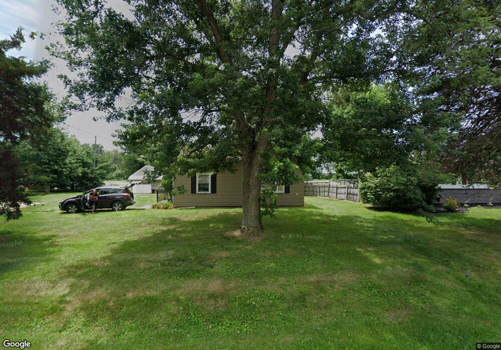
305 W Main St Good Hope, IL 61438
Estimated Value: $47,201 - $81,000
2
Beds
1
Bath
975
Sq Ft
$60/Sq Ft
Est. Value
About This Home
This home is located at 305 W Main St, Good Hope, IL 61438 and is currently estimated at $58,800, approximately $60 per square foot. 305 W Main St is a home located in McDonough County.
Ownership History
Date
Name
Owned For
Owner Type
Purchase Details
Closed on
Aug 2, 2012
Sold by
Danielson David J
Bought by
Wisslead Darin and Wisslead Katie
Current Estimated Value
Purchase Details
Closed on
Oct 15, 2010
Sold by
Danielson Nancy J
Bought by
Danielson David J and Danielson Nancy J
Purchase Details
Closed on
Jun 2, 2008
Sold by
Coffman Kathryn A
Bought by
Danielson Nancy J
Home Financials for this Owner
Home Financials are based on the most recent Mortgage that was taken out on this home.
Original Mortgage
$27,000
Interest Rate
6.5%
Mortgage Type
Purchase Money Mortgage
Create a Home Valuation Report for This Property
The Home Valuation Report is an in-depth analysis detailing your home's value as well as a comparison with similar homes in the area
Home Values in the Area
Average Home Value in this Area
Purchase History
| Date | Buyer | Sale Price | Title Company |
|---|---|---|---|
| Wisslead Darin | $30,000 | None Available | |
| Danielson David J | -- | None Available | |
| Danielson Nancy J | $35,000 | None Available |
Source: Public Records
Mortgage History
| Date | Status | Borrower | Loan Amount |
|---|---|---|---|
| Previous Owner | Danielson Nancy J | $27,000 |
Source: Public Records
Tax History Compared to Growth
Tax History
| Year | Tax Paid | Tax Assessment Tax Assessment Total Assessment is a certain percentage of the fair market value that is determined by local assessors to be the total taxable value of land and additions on the property. | Land | Improvement |
|---|---|---|---|---|
| 2024 | $1,018 | $12,196 | $1,824 | $10,372 |
| 2023 | $960 | $11,476 | $1,716 | $9,760 |
| 2022 | $913 | $10,896 | $1,629 | $9,267 |
| 2021 | $902 | $10,788 | $1,613 | $9,175 |
| 2020 | $894 | $12,217 | $1,589 | $10,628 |
| 2019 | $909 | $10,813 | $1,617 | $9,196 |
| 2018 | $907 | $10,971 | $1,641 | $9,330 |
| 2017 | $918 | $10,971 | $1,641 | $9,330 |
| 2016 | $906 | $10,800 | $1,615 | $9,185 |
| 2015 | $898 | $10,600 | $1,585 | $9,015 |
| 2014 | $846 | $10,600 | $1,585 | $9,015 |
| 2013 | $690 | $10,000 | $1,495 | $8,505 |
Source: Public Records
Map
Nearby Homes
- 201 N Pine St
- 215 N Monmouth St
- 305 E Lincoln St
- 300 E Main St
- 18046 E 1000th St
- 15465 U S 67
- 19635 E 800th St
- 1343 Woodland Trail
- 13 Woodland Ln
- 8 Woodland Ln
- 275 Jana Rd
- 158 Penny Ln
- 1001 Wigwam Hollow Rd
- 208 Jana Rd
- 146 Holden Terrace
- 15 Cedar Dr
- 720 Wigwam Hollow Rd Unit 1
- 1028 E Oak St
- 920 N State St
- 135 Chandler Blvd