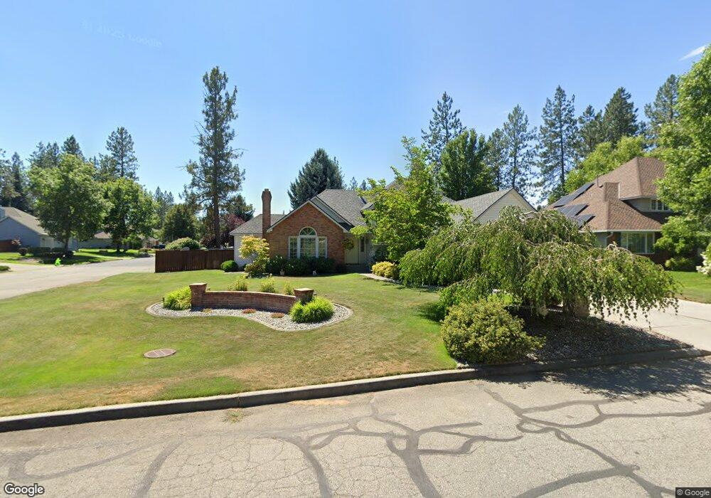
305 W Wilson Ave Spokane, WA 99208
Estimated Value: $637,316 - $829,000
4
Beds
4
Baths
2,568
Sq Ft
$278/Sq Ft
Est. Value
About This Home
This home is located at 305 W Wilson Ave, Spokane, WA 99208 and is currently estimated at $713,079, approximately $277 per square foot. 305 W Wilson Ave is a home located in Spokane County with nearby schools including Brentwood Elementary School, Northwood Middle School, and Mead Senior High School.
Ownership History
Date
Name
Owned For
Owner Type
Purchase Details
Closed on
Nov 20, 2001
Sold by
Dickson Craig A and Dickson Daneille C
Bought by
Kuka Steven R and Kuka Tracie L
Current Estimated Value
Home Financials for this Owner
Home Financials are based on the most recent Mortgage that was taken out on this home.
Original Mortgage
$165,000
Outstanding Balance
$64,062
Interest Rate
6.63%
Estimated Equity
$649,017
Create a Home Valuation Report for This Property
The Home Valuation Report is an in-depth analysis detailing your home's value as well as a comparison with similar homes in the area
Home Values in the Area
Average Home Value in this Area
Purchase History
| Date | Buyer | Sale Price | Title Company |
|---|---|---|---|
| Kuka Steven R | $244,000 | Spokane County Title Co |
Source: Public Records
Mortgage History
| Date | Status | Borrower | Loan Amount |
|---|---|---|---|
| Open | Kuka Steven R | $165,000 |
Source: Public Records
Tax History Compared to Growth
Tax History
| Year | Tax Paid | Tax Assessment Tax Assessment Total Assessment is a certain percentage of the fair market value that is determined by local assessors to be the total taxable value of land and additions on the property. | Land | Improvement |
|---|---|---|---|---|
| 2025 | $6,265 | $596,100 | $125,000 | $471,100 |
| 2024 | $6,265 | $614,700 | $120,000 | $494,700 |
| 2023 | $5,324 | $605,800 | $120,000 | $485,800 |
| 2022 | $4,970 | $575,800 | $90,000 | $485,800 |
| 2021 | $4,884 | $425,400 | $70,000 | $355,400 |
| 2020 | $4,272 | $354,300 | $65,000 | $289,300 |
| 2019 | $4,023 | $337,600 | $60,000 | $277,600 |
| 2018 | $4,479 | $320,600 | $60,000 | $260,600 |
| 2017 | $4,269 | $307,100 | $60,000 | $247,100 |
| 2016 | $4,259 | $298,000 | $60,000 | $238,000 |
| 2015 | $4,047 | $289,700 | $60,000 | $229,700 |
| 2014 | -- | $281,300 | $60,000 | $221,300 |
| 2013 | -- | $0 | $0 | $0 |
Source: Public Records
Map
Nearby Homes
- 339 W Wilson Ave
- 13419 N Whitehouse Ct
- 13614 N Minihdoka Trail
- 13431 N Whitehouse Ct
- 14 E Lindsey Ln
- 307 W Arrow Ln
- 30 E Center Ln
- 13402 N Mayfair Ln
- 44 E Center Ln
- 58 E Center Ln
- 13731 N Mayfair Ln
- 12704 N Ruby Rd
- 13733 N Mayfair Ln
- 608 W Hazard Rd
- 12720 N Vistawood Ct
- 12515 N Fairwood Dr Unit 6
- 12003 N Whitehouse St
- 12729 N Dakota St
- 825 E Lakeview Ln
- 905 E Lakeview Ln
- 311 W Wilson Ave
- 13319 N Whitehouse St
- 13402 N Whitehouse St
- 13326 N Whitehouse St
- 13322 N Whitehouse St
- 321 W Wilson Ave
- 13402 N Whitehouse Ct
- 302 W Wilson Ave
- 13305 N Whitehouse St
- 13227 N Washington Ct
- 224 W Garden Ct
- 13401 N Calispel Ct
- 13226 N Washington Ct
- 13408 N Whitehouse Ct
- 327 W Wilson Ave
- 219 W Wilson Ave
- 13225 N Whitehouse St
- 0 N Calispel Ct
- 13415 N Calispel Ct
- 216 W Garden Ct