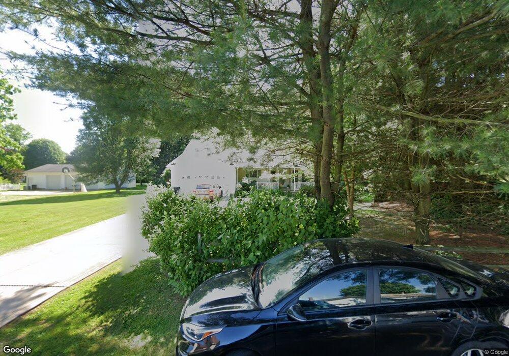
305 Walnut Place Unit 1A Minerva, OH 44657
Estimated Value: $213,000 - $231,179
3
Beds
2
Baths
1,387
Sq Ft
$159/Sq Ft
Est. Value
About This Home
This home is located at 305 Walnut Place Unit 1A, Minerva, OH 44657 and is currently estimated at $220,795, approximately $159 per square foot. 305 Walnut Place Unit 1A is a home located in Carroll County with nearby schools including Minerva Elementary School, Minerva Middle School, and Minerva High School.
Ownership History
Date
Name
Owned For
Owner Type
Purchase Details
Closed on
Jun 14, 2011
Sold by
May Betty M
Bought by
Vanmeter Kevin L
Current Estimated Value
Home Financials for this Owner
Home Financials are based on the most recent Mortgage that was taken out on this home.
Original Mortgage
$121,831
Outstanding Balance
$82,955
Interest Rate
4.37%
Mortgage Type
FHA
Estimated Equity
$137,840
Purchase Details
Closed on
Jun 1, 2006
Sold by
Kurzinsky Elsie B
Bought by
May Betty M
Home Financials for this Owner
Home Financials are based on the most recent Mortgage that was taken out on this home.
Original Mortgage
$158,000
Interest Rate
6.87%
Mortgage Type
New Conventional
Create a Home Valuation Report for This Property
The Home Valuation Report is an in-depth analysis detailing your home's value as well as a comparison with similar homes in the area
Home Values in the Area
Average Home Value in this Area
Purchase History
| Date | Buyer | Sale Price | Title Company |
|---|---|---|---|
| Vanmeter Kevin L | $125,000 | Attorney | |
| May Betty M | $158,000 | Quest Title Agency Inc |
Source: Public Records
Mortgage History
| Date | Status | Borrower | Loan Amount |
|---|---|---|---|
| Open | Vanmeter Kevin L | $121,831 | |
| Previous Owner | May Betty M | $158,000 |
Source: Public Records
Tax History
| Year | Tax Paid | Tax Assessment Tax Assessment Total Assessment is a certain percentage of the fair market value that is determined by local assessors to be the total taxable value of land and additions on the property. | Land | Improvement |
|---|---|---|---|---|
| 2024 | $2,929 | $71,800 | $3,710 | $68,090 |
| 2023 | $3,050 | $71,800 | $3,710 | $68,090 |
| 2022 | $3,047 | $59,580 | $3,080 | $56,500 |
| 2021 | $2,619 | $59,580 | $3,080 | $56,500 |
| 2020 | $2,748 | $59,580 | $3,080 | $56,500 |
| 2019 | $2,405 | $59,584 | $3,080 | $56,504 |
| 2018 | $2,316 | $53,280 | $3,150 | $50,130 |
| 2017 | $2,381 | $53,280 | $3,150 | $50,130 |
| 2016 | $2,429 | $48,880 | $2,890 | $45,990 |
| 2015 | $2,268 | $48,880 | $2,890 | $45,990 |
| 2014 | $2,331 | $48,880 | $2,890 | $45,990 |
| 2013 | $2,329 | $48,880 | $2,890 | $45,990 |
Source: Public Records
Map
Nearby Homes
- 513 Queen St Unit 1A
- 606 Murray Ave Unit 16
- 404 Union Ave Unit 25
- 806 S Grant Blvd
- 701 W Line St Unit 34
- 712 Mcdaniel Ave
- 0 Lynnwood Dr
- 701 E Lincolnway
- 113 W 1st St
- 144 W 1st St
- 208 Ridgewood Blvd
- 1179 Alliance Rd NW Unit 11E
- 605 Stadium St
- 0 Surrey Dr SE
- 22141 Mcdaniel St
- 22657 Mayfair Ave
- 22755 Mayfair Ave
- 8087 Magnet Rd NE Unit 13E
- 10240 Manor Rd NE Unit 5
- 14000 Lincoln St SE Unit LOT A
- 301 Walnut Place Unit 1A
- 905 S Grant Blvd Unit 26
- 908 S Grant Blvd Unit 17
- 515 Murray Ave Unit 18
- 517 Murray Ave Unit 18
- 901 S Grant Blvd Unit 26
- 519 Murray Ave Unit 18
- 910 S Grant Blvd Unit 17
- 521 Murray Ave Unit 18
- 513 Murray Ave Unit 18
- 909 S Grant Blvd Unit 26
- 909 S Grant Blvd Unit 26
- 512 Queen St Unit 34A
- 509 Murray Ave Unit 18
- 523 Murray Ave Unit 18
- 516 Queen St Unit 33
- 913 S Grant Blvd Unit 33
- 508 Queen St Unit 1A
- 525 Murray Ave Unit 18
- 504 Queen St Unit 1A
Your Personal Tour Guide
Ask me questions while you tour the home.