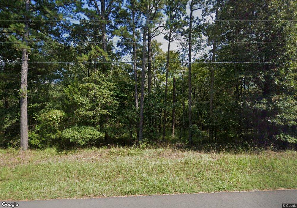
305 Whitfield Rd Pearcy, AR 71964
Estimated Value: $72,000 - $174,000
Studio
1
Bath
792
Sq Ft
$153/Sq Ft
Est. Value
About This Home
This home is located at 305 Whitfield Rd, Pearcy, AR 71964 and is currently estimated at $121,234, approximately $153 per square foot. 305 Whitfield Rd is a home with nearby schools including Lake Hamilton Primary School, Lake Hamilton Interm. School, and Lake Hamilton Elementary School.
Ownership History
Date
Name
Owned For
Owner Type
Purchase Details
Closed on
Jul 7, 2015
Bought by
Johnson Pamela Sue Whitfield
Current Estimated Value
Purchase Details
Closed on
Jun 19, 2015
Bought by
Johnson Pamela Sue Whitfield
Purchase Details
Closed on
May 8, 2014
Sold by
Farmer Genetta Whitfield and Genetta Whitfield Farmer Famil
Bought by
Turner Thomas and Turner Bobbie
Purchase Details
Closed on
Jan 14, 2013
Sold by
Farmer Genetta W and Whitfield Trust
Bought by
Farmer Genetta W and Genetta Whitfield Farmer Family Revoc
Purchase Details
Closed on
Jan 11, 2013
Bought by
Farmer Genetta and Family Revocable Trust
Create a Home Valuation Report for This Property
The Home Valuation Report is an in-depth analysis detailing your home's value as well as a comparison with similar homes in the area
Home Values in the Area
Average Home Value in this Area
Purchase History
| Date | Buyer | Sale Price | Title Company |
|---|---|---|---|
| Johnson Pamela Sue Whitfield | -- | -- | |
| Johnson Pamela Sue Whitfield | -- | -- | |
| Turner Thomas | $30,000 | Garland County Title Company | |
| Farmer Genetta W | -- | -- | |
| Farmer Genetta W | -- | -- | |
| Farmer Genetta | -- | -- |
Source: Public Records
Tax History
| Year | Tax Paid | Tax Assessment Tax Assessment Total Assessment is a certain percentage of the fair market value that is determined by local assessors to be the total taxable value of land and additions on the property. | Land | Improvement |
|---|---|---|---|---|
| 2025 | $375 | $8,470 | $5,660 | $2,810 |
| 2024 | $343 | $8,470 | $5,660 | $2,810 |
| 2023 | $317 | $8,470 | $5,660 | $2,810 |
| 2022 | $370 | $8,470 | $5,660 | $2,810 |
| 2021 | $331 | $6,030 | $3,730 | $2,300 |
| 2020 | $331 | $6,030 | $3,730 | $2,300 |
| 2019 | $267 | $6,030 | $3,730 | $2,300 |
| 2018 | $270 | $6,030 | $3,730 | $2,300 |
| 2017 | $267 | $6,030 | $3,730 | $2,300 |
| 2016 | $283 | $6,320 | $4,250 | $2,070 |
| 2015 | $755 | $17,090 | $7,900 | $9,190 |
| 2014 | $712 | $16,120 | $6,930 | $9,190 |
Source: Public Records
Map
Nearby Homes
- 124 Primrose Ln
- 4903 Sunshine Rd
- 4907 Sunshine Rd
- 2003 N Moore Rd
- 196 Jackson Manor Ct
- 101 Songer
- 3249 Timberlake
- 5701 Sunshine Rd Unit B
- 5701 B Sunshine Rd
- 000 Evan Way
- 4765 Airport Rd
- 3478 Airport Rd
- 4777 Airport Rd
- 124 Holly Farm Ln
- 3370 Airport Rd
- 1540 N Moore Rd
- TBD Music Dr
- 545 Ford Rd
- 322 Forestcreek Rd
- 256 Forest Ridge Rd
- 142 Ridgehaven Dr
- 178 Ridgehaven Dr
- 129 Ridgehaven Dr
- Lot 1 Ridgehaven
- 40 Acres Whitfield Rd
- 151 Ridgehaven Dr
- 403 Whitfield Rd
- 281 Whitfield Rd
- 145 E Old Forrest Ln
- 151 Kilroy Trail
- 120 Knox Ct
- 100 Sunshine Valley Terrace
- 2 Knox Ct
- 130 Knox Ct
- 0 Knox Ct
- 237 Whitfield Rd
- 119 Knox Ct
- 125 Knox Ct
- 168 Knox Ct
- 170 Sunshine Valley Place
