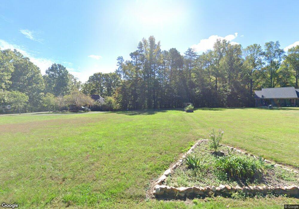
3050 Williams Rd Lewisville, NC 27023
Estimated Value: $670,000 - $717,307
6
Beds
6
Baths
4,440
Sq Ft
$156/Sq Ft
Est. Value
About This Home
This home is located at 3050 Williams Rd, Lewisville, NC 27023 and is currently estimated at $693,654, approximately $156 per square foot. 3050 Williams Rd is a home located in Forsyth County with nearby schools including Lewisville Elementary School, Meadowlark Middle School, and West Forsyth High.
Ownership History
Date
Name
Owned For
Owner Type
Purchase Details
Closed on
Jul 22, 2009
Sold by
Naples Helen L
Bought by
Naples Frank Ralph
Current Estimated Value
Home Financials for this Owner
Home Financials are based on the most recent Mortgage that was taken out on this home.
Original Mortgage
$230,000
Interest Rate
5.37%
Mortgage Type
New Conventional
Create a Home Valuation Report for This Property
The Home Valuation Report is an in-depth analysis detailing your home's value as well as a comparison with similar homes in the area
Home Values in the Area
Average Home Value in this Area
Purchase History
| Date | Buyer | Sale Price | Title Company |
|---|---|---|---|
| Naples Frank Ralph | -- | None Available |
Source: Public Records
Mortgage History
| Date | Status | Borrower | Loan Amount |
|---|---|---|---|
| Closed | Naples Frank Ralph | $230,000 |
Source: Public Records
Tax History Compared to Growth
Tax History
| Year | Tax Paid | Tax Assessment Tax Assessment Total Assessment is a certain percentage of the fair market value that is determined by local assessors to be the total taxable value of land and additions on the property. | Land | Improvement |
|---|---|---|---|---|
| 2025 | $3,236 | $666,100 | $211,800 | $454,300 |
| 2024 | $3,215 | $419,300 | $160,800 | $258,500 |
| 2023 | $3,215 | $419,300 | $160,800 | $258,500 |
| 2022 | $3,215 | $419,300 | $160,800 | $258,500 |
| 2021 | $3,194 | $419,300 | $160,800 | $258,500 |
| 2020 | $3,127 | $376,400 | $152,400 | $224,000 |
| 2019 | $3,165 | $376,400 | $152,400 | $224,000 |
| 2018 | $3,038 | $376,400 | $152,400 | $224,000 |
| 2016 | $2,873 | $354,242 | $160,530 | $193,712 |
| 2015 | $2,873 | $354,242 | $160,530 | $193,712 |
| 2014 | $2,815 | $354,242 | $160,530 | $193,712 |
Source: Public Records
Map
Nearby Homes
- Heritage Bridge Plan at Adams Estates
- Roller Mill II Plan at Adams Estates
- Birch Haven Courtyard Plan at Adams Estates
- Roller Mill Plan at Adams Estates
- Oak Crest Plan at Adams Estates
- 4011 Estate Dr
- 4029 Estate Dr
- 0 Hauser Rd
- 1099 Cresthaven Rd
- 1839 Songbird Ln
- 5131 Riverwest Rd
- 1762 Canopy Trail
- 1570 Williams Rd
- 1492 Williams Rd
- 937 Montrachet Ct
- 1430 Messick Oaks Trail
- 9105 Concord Church Rd
- Roller Mill Plan at Montrachet
- Roller Mill II Plan at Montrachet
- Oak Crest Plan at Montrachet
- 3080 Williams Rd
- 3100 Williams Rd
- 3070 Williams Rd
- 3035 Williams Rd
- 3341 Williams Rd
- 1500 Woodville Rd
- 1001 Woodville Rd
- 00 Woodville Rd
- 3011 Williams Rd
- 3005 Williams Rd
- 11327 Double Spring Rd
- 3600 Williams Rd
- 11150 Double Spring Rd
- 3001 Woodville Rd
- 3006 Williams Rd
- 3660 Williams Rd
- 3675 Williams Rd
- 3590 Williams Rd
- 2675 Williams Rd
- 3710 Williams Rd