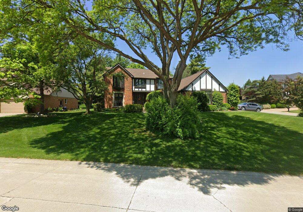
3052 Kilburn Rd W Rochester Hills, MI 48306
Estimated Value: $531,017 - $638,000
4
Beds
3
Baths
2,868
Sq Ft
$202/Sq Ft
Est. Value
About This Home
This home is located at 3052 Kilburn Rd W, Rochester Hills, MI 48306 and is currently estimated at $579,504, approximately $202 per square foot. 3052 Kilburn Rd W is a home located in Oakland County with nearby schools including Musson Elementary School, Van Hoosen Middle School, and Rochester Adams High School.
Ownership History
Date
Name
Owned For
Owner Type
Purchase Details
Closed on
Sep 6, 2002
Sold by
Paljusevic Djelos
Bought by
Conlon Brendan M
Current Estimated Value
Home Financials for this Owner
Home Financials are based on the most recent Mortgage that was taken out on this home.
Original Mortgage
$194,000
Outstanding Balance
$81,927
Interest Rate
6.39%
Estimated Equity
$497,577
Purchase Details
Closed on
Jul 18, 1997
Sold by
Stern Robert L
Bought by
Paljusevic Djelos
Home Financials for this Owner
Home Financials are based on the most recent Mortgage that was taken out on this home.
Original Mortgage
$160,000
Interest Rate
7.71%
Create a Home Valuation Report for This Property
The Home Valuation Report is an in-depth analysis detailing your home's value as well as a comparison with similar homes in the area
Home Values in the Area
Average Home Value in this Area
Purchase History
| Date | Buyer | Sale Price | Title Company |
|---|---|---|---|
| Conlon Brendan M | $310,000 | -- | |
| Paljusevic Djelos | $290,500 | -- |
Source: Public Records
Mortgage History
| Date | Status | Borrower | Loan Amount |
|---|---|---|---|
| Open | Conlon Brendan M | $194,000 | |
| Previous Owner | Paljusevic Djelos | $160,000 |
Source: Public Records
Tax History Compared to Growth
Tax History
| Year | Tax Paid | Tax Assessment Tax Assessment Total Assessment is a certain percentage of the fair market value that is determined by local assessors to be the total taxable value of land and additions on the property. | Land | Improvement |
|---|---|---|---|---|
| 2022 | $2,627 | $180,660 | $0 | $0 |
| 2018 | $4,355 | $170,530 | $0 | $0 |
| 2017 | $4,267 | $168,840 | $0 | $0 |
| 2015 | -- | $155,660 | $0 | $0 |
| 2014 | -- | $143,740 | $0 | $0 |
| 2011 | -- | $120,920 | $0 | $0 |
Source: Public Records
Map
Nearby Homes
- 5826 Murfield Dr
- 3273 Salem Dr
- 2935 Woodford Cir
- 1609 Kilburn Rd N
- 1906 Independence Ct
- 5724 Murfield Dr
- 2821 Addison Cir S
- 3185 Saint James Ct
- 3674 Merriweather Ln
- 5700 Rolling Hills Dr
- 1515 Chevy Circuit
- 3582 Tremonte Cir S Unit 276
- 3577 Oakmonte Blvd
- 3522 Oakmonte Blvd Unit 115
- 3574 Oakmonte Blvd
- 5350 Brewster Rd
- 2750 Castlemartin Ct Unit 22
- 2794 Castlemartin Ct
- 2879 Hastings Ct Unit 73
- 1102 Cobridge Dr
- 3082 Kilburn Rd W
- 3125 Summit Ridge Dr
- 3100 Kilburn Rd W
- 3040 Summit Ridge Dr
- 3054 Summit Ridge Dr
- 3051 Kilburn Rd W
- 3079 Kilburn Rd W
- 3153 Summit Ridge Dr
- 3033 Kilburn Rd W
- 3097 Kilburn Rd W
- 3068 Eastpointe Ct
- 3120 Kilburn Rd W
- 3115 Kilburn Rd W
- 3015 Kilburn Rd W
- 3167 Summit Ridge Dr
- 3110 Eastpointe Ct
- 3138 Summit Ridge Dr
- 3133 Kilburn Rd W
- 3151 Salem Dr
- 3140 Kilburn Rd W