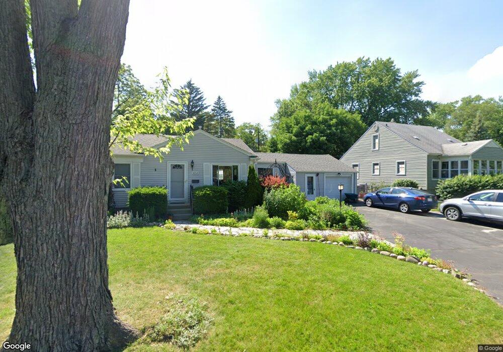
30521 Brentwood St Southfield, MI 48076
Estimated Value: $199,434 - $220,000
--
Bed
1
Bath
864
Sq Ft
$241/Sq Ft
Est. Value
About This Home
This home is located at 30521 Brentwood St, Southfield, MI 48076 and is currently estimated at $208,109, approximately $240 per square foot. 30521 Brentwood St is a home located in Oakland County with nearby schools including Wylie E. Groves High School, Greenfield Elementary School, and Berkshire Middle School.
Ownership History
Date
Name
Owned For
Owner Type
Purchase Details
Closed on
May 16, 2023
Sold by
Brown Shelly M and Laughlin Shelly M
Bought by
Laughlin Shelly M and Brown Shelly M
Current Estimated Value
Purchase Details
Closed on
May 18, 2005
Sold by
Kessler Edward K and Kessler Juanita
Bought by
Brown Shelly M
Home Financials for this Owner
Home Financials are based on the most recent Mortgage that was taken out on this home.
Original Mortgage
$124,350
Interest Rate
6.25%
Mortgage Type
Fannie Mae Freddie Mac
Purchase Details
Closed on
Nov 22, 1996
Sold by
Kessler Edward K
Bought by
Kessler Edward K
Home Financials for this Owner
Home Financials are based on the most recent Mortgage that was taken out on this home.
Original Mortgage
$51,000
Interest Rate
7.58%
Mortgage Type
Purchase Money Mortgage
Create a Home Valuation Report for This Property
The Home Valuation Report is an in-depth analysis detailing your home's value as well as a comparison with similar homes in the area
Home Values in the Area
Average Home Value in this Area
Purchase History
| Date | Buyer | Sale Price | Title Company |
|---|---|---|---|
| Laughlin Shelly M | -- | Land Title | |
| Brown Shelly M | $138,200 | Title One Inc | |
| Kessler Edward K | -- | -- |
Source: Public Records
Mortgage History
| Date | Status | Borrower | Loan Amount |
|---|---|---|---|
| Previous Owner | Brown Shelly M | $124,350 | |
| Previous Owner | Kessler Edward K | $51,000 |
Source: Public Records
Tax History Compared to Growth
Tax History
| Year | Tax Paid | Tax Assessment Tax Assessment Total Assessment is a certain percentage of the fair market value that is determined by local assessors to be the total taxable value of land and additions on the property. | Land | Improvement |
|---|---|---|---|---|
| 2022 | $1,730 | $66,850 | $17,330 | $49,520 |
| 2021 | $1,653 | $58,160 | $15,530 | $42,630 |
| 2020 | $1,497 | $56,090 | $13,500 | $42,590 |
| 2018 | $1,599 | $42,390 | $13,500 | $28,890 |
| 2015 | -- | $32,410 | $0 | $0 |
| 2014 | -- | $25,910 | $0 | $0 |
| 2011 | -- | $27,240 | $0 | $0 |
Source: Public Records
Map
Nearby Homes
- 3311 Ellwood Ave
- 30160 Marshall St
- 30798 Brentwood St
- 3351 Prairie Ave
- 3334 Cummings Ave
- 29915 Everett St
- 3420 Fairmont Rd
- 29809 N Bedford St
- 31220 Sheridan Dr
- 3316 Harvard Rd
- 4176 Cummings Ave
- 4235 Bacon Ave
- 4041 Yorba Linda Blvd
- 29641 Fairfax St
- 3912 Ellwood Ave
- 3911 Thomas Ave
- 29512 Brentwood St
- 31607 Auburn Dr
- 3866 Hillside Ct
- 3774 Greenfield Rd
- 30515 Brentwood St
- 30545 Brentwood St
- 30530 Marshall St
- 30516 Marshall St
- 30540 Marshall St
- 30499 Brentwood St
- 30557 Brentwood St
- 30518 Brentwood St
- 30516 Brentwood St
- 30544 Brentwood St
- 30498 Marshall St
- 30560 Marshall St
- 30483 Brentwood St Unit Bldg-Unit
- 30560 Brentwood St
- 30500 Brentwood St
- 30484 Marshall St Unit Bldg-Unit
- 30484 Marshall St
- 30484 Brentwood St
- 30709 Brentwood St
- 30706 Marshall St