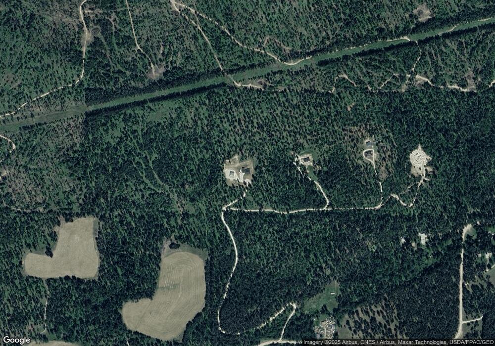
3053 Burnt Valley Rd Chewelah, WA 99109
Estimated Value: $715,000
3
Beds
2
Baths
3,255
Sq Ft
$220/Sq Ft
Est. Value
About This Home
This home is located at 3053 Burnt Valley Rd, Chewelah, WA 99109 and is currently estimated at $715,000, approximately $219 per square foot. 3053 Burnt Valley Rd is a home located in Stevens County with nearby schools including Gess Elementary School and Jenkins Junior/Senior High School.
Ownership History
Date
Name
Owned For
Owner Type
Purchase Details
Closed on
Feb 27, 2006
Sold by
Tichacek Evelyn C
Bought by
Tichacek Jeffrey M
Current Estimated Value
Home Financials for this Owner
Home Financials are based on the most recent Mortgage that was taken out on this home.
Original Mortgage
$48,750
Interest Rate
6.04%
Mortgage Type
New Conventional
Create a Home Valuation Report for This Property
The Home Valuation Report is an in-depth analysis detailing your home's value as well as a comparison with similar homes in the area
Home Values in the Area
Average Home Value in this Area
Purchase History
| Date | Buyer | Sale Price | Title Company |
|---|---|---|---|
| Tichacek Jeffrey M | -- | Stevens County Title Co | |
| Tichacek Jeffrey M | $32,647 | Stevens County Title Company |
Source: Public Records
Mortgage History
| Date | Status | Borrower | Loan Amount |
|---|---|---|---|
| Closed | Tichacek Jeffrey M | $48,750 |
Source: Public Records
Tax History Compared to Growth
Tax History
| Year | Tax Paid | Tax Assessment Tax Assessment Total Assessment is a certain percentage of the fair market value that is determined by local assessors to be the total taxable value of land and additions on the property. | Land | Improvement |
|---|---|---|---|---|
| 2024 | $3,117 | $417,482 | $6,271 | $411,211 |
| 2023 | $2,692 | $414,178 | $69,335 | $344,843 |
| 2022 | $2,561 | $372,163 | $69,335 | $302,828 |
| 2021 | $2,643 | $291,748 | $3,534 | $288,214 |
| 2020 | $2,677 | $291,748 | $3,534 | $288,214 |
| 2019 | $2,342 | $277,465 | $3,515 | $273,950 |
| 2018 | $2,603 | $245,631 | $3,496 | $242,135 |
| 2017 | $2,406 | $250,431 | $3,496 | $246,935 |
| 2016 | $2,282 | $250,412 | $3,477 | $246,935 |
| 2015 | $2,332 | $250,375 | $3,440 | $246,935 |
| 2013 | -- | $250,356 | $3,421 | $246,935 |
Source: Public Records
Map
Nearby Homes
- 2559F United Copper Mine Rd
- 2559 United Copper Mine Rd
- 2633 Highline Rd
- 3033 Major Rd
- 2443 Eagle Lambert Rd
- Nka. Leslie Creek Rd
- 2367 Morse Way
- 26XX Sand Canyon Lot 2 Rd
- XX1 N 7th St E
- XX2 N 7th St E
- 26xx Flowery Trail Rd
- 1005 N 3rd St E
- 2265 Sand Canyon Rd
- 203 Eagle Dr
- 604 N 3rd St E
- 207 Eagle Dr
- 102 Trappers Loop W
- 183 E Trappers Loop
- 268 Eagle Dr
- XXX 5th St E
- 3053 D Burnt Valley Rd
- 3053D Burnt Valley Rd
- 3053 Burnt Valley Rd Unit "A"
- 3053 Burnt Valley Rd
- 3053 Burnt Valley Rd Unit D
- 3053 Burnt Valley Rd
- 3053 Burnt Valley Rd
- 3053 Burnt Valley Rd
- 3053 C Burnt Valley Rd
- 3087 Burnt Valley Rd
- 3053 A Burnt Valley Rd
- 3061 Burnt Valley Rd
- 3091 Burnt Valley Rd
- 3061 D Burnt Valley Rd
- 3061 B Burnt Valley Rd
- 3061 A Burnt Valley Rd
- 3092 Burnt Valley Rd
- 3086 Burnt Valley Rd
- 3086 Burnt Valley Rd
- 3009 Snook Rd
