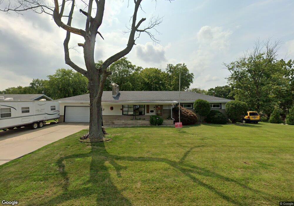
3053 N University Ave Decatur, IL 62526
Greendell NeighborhoodEstimated Value: $148,000 - $174,000
3
Beds
3
Baths
1,388
Sq Ft
$117/Sq Ft
Est. Value
About This Home
This home is located at 3053 N University Ave, Decatur, IL 62526 and is currently estimated at $162,250, approximately $116 per square foot. 3053 N University Ave is a home located in Macon County with nearby schools including Parsons Elementary School, Stephen Decatur Middle School, and Our Lady of Lourdes School.
Ownership History
Date
Name
Owned For
Owner Type
Purchase Details
Closed on
Jul 1, 2015
Current Estimated Value
Purchase Details
Closed on
Jan 1, 2015
Purchase Details
Closed on
Sep 1, 1997
Create a Home Valuation Report for This Property
The Home Valuation Report is an in-depth analysis detailing your home's value as well as a comparison with similar homes in the area
Home Values in the Area
Average Home Value in this Area
Purchase History
| Date | Buyer | Sale Price | Title Company |
|---|---|---|---|
| -- | $95,000 | -- | |
| -- | $67,500 | -- | |
| -- | $81,000 | -- |
Source: Public Records
Tax History Compared to Growth
Tax History
| Year | Tax Paid | Tax Assessment Tax Assessment Total Assessment is a certain percentage of the fair market value that is determined by local assessors to be the total taxable value of land and additions on the property. | Land | Improvement |
|---|---|---|---|---|
| 2024 | $3,719 | $43,672 | $6,985 | $36,687 |
| 2023 | $3,440 | $40,147 | $6,421 | $33,726 |
| 2022 | $3,227 | $37,236 | $5,956 | $31,280 |
| 2021 | $3,051 | $35,414 | $5,569 | $29,845 |
| 2020 | $3,654 | $40,257 | $6,331 | $33,926 |
| 2019 | $3,654 | $40,257 | $6,331 | $33,926 |
| 2018 | $3,639 | $40,545 | $6,376 | $34,169 |
| 2017 | $3,654 | $40,771 | $6,411 | $34,360 |
| 2016 | $3,692 | $40,869 | $6,426 | $34,443 |
| 2015 | $4,131 | $40,385 | $6,350 | $34,035 |
| 2014 | $3,900 | $40,385 | $6,350 | $34,035 |
| 2013 | $2,806 | $40,385 | $6,350 | $34,035 |
Source: Public Records
Map
Nearby Homes
- 1302 W Pershing Rd
- 3235 N Susan Dr
- 3321 N Oakland Ave
- 3333 N University Ave
- 1487 W Glenn Dr
- 2848 N Primrose Ln
- 1110 Woodridge Ct
- 1120 Meadowview Dr
- 2273 N Fairview Ave
- 1474 Meadowview Dr
- 1607 W Melrose Ct
- 24 Greenridge Dr
- 2480 N Graceland Ave
- 821 W Karen Dr
- 3707 N Woodridge Dr
- 1225 W Pineview Ct
- 2127 Riedel Ave
- 1720 W Ravina Park Rd
- 42 Ohio Dr
- 2222 Sands Dr
- 3043 N University Ave
- 6 Green Oak Dr
- 3103 N University Ave
- 7 Green Oak Dr
- 3033 N University Ave
- 3040 N University Ave
- 3050 N University Ave
- 3110 N University Ave
- 10 Green Oak Dr
- 11 Green Oak Dr
- 3109 N University Ave
- 3003 N University Ave
- 1212 W Pershing Rd
- 3120 N University Ave
- 1222 W Pershing Rd
- 3119 N University Ave
- 14 Green Oak Dr
- 19 Green Oak Ct
- 3079 N Oakland Ave
- 1232 W Pershing Rd