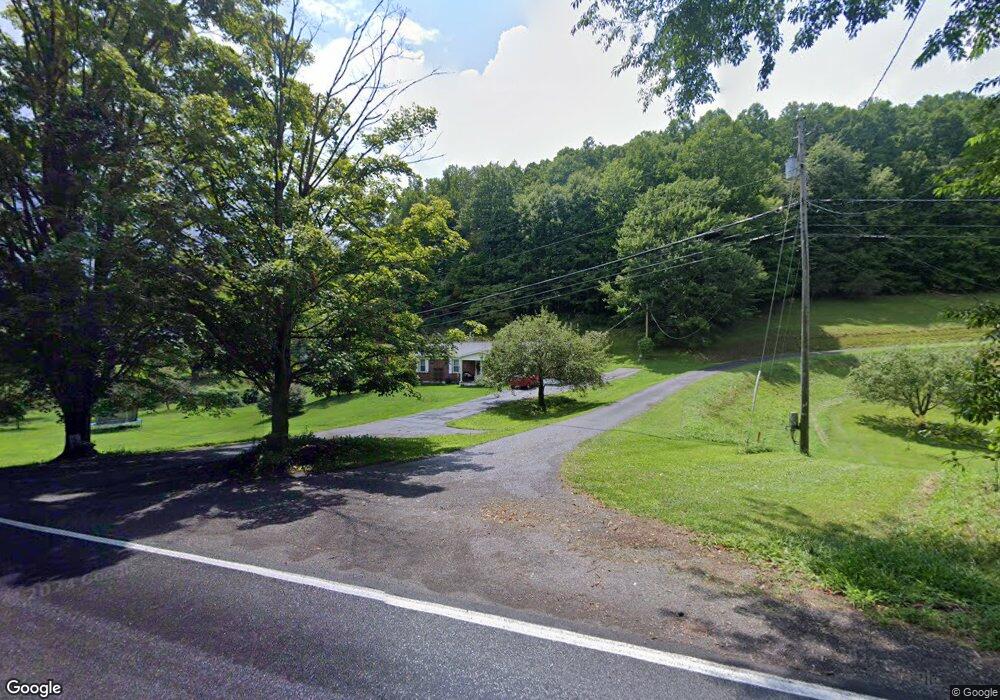
3054 Kents Ridge Rd Cedar Bluff, VA 24609
Estimated Value: $185,000 - $207,846
3
Beds
2
Baths
1,161
Sq Ft
$171/Sq Ft
Est. Value
About This Home
This home is located at 3054 Kents Ridge Rd, Cedar Bluff, VA 24609 and is currently estimated at $198,462, approximately $170 per square foot. 3054 Kents Ridge Rd is a home located in Tazewell County with nearby schools including Richlands Christian Academy and First Apostolic Christian.
Ownership History
Date
Name
Owned For
Owner Type
Purchase Details
Closed on
Aug 10, 2006
Sold by
Shierling Linda
Bought by
Richardson James W and Richardson Corlie C
Current Estimated Value
Home Financials for this Owner
Home Financials are based on the most recent Mortgage that was taken out on this home.
Original Mortgage
$115,700
Interest Rate
7.9%
Mortgage Type
New Conventional
Purchase Details
Closed on
Apr 6, 2006
Sold by
Blankenship Harold Lee
Bought by
Shierling Linda
Purchase Details
Closed on
Jan 16, 2006
Sold by
Shrader Laura
Bought by
Shierling Linda
Create a Home Valuation Report for This Property
The Home Valuation Report is an in-depth analysis detailing your home's value as well as a comparison with similar homes in the area
Home Values in the Area
Average Home Value in this Area
Purchase History
| Date | Buyer | Sale Price | Title Company |
|---|---|---|---|
| Richardson James W | $130,000 | -- | |
| Shierling Linda | -- | -- | |
| Shierling Linda | $5,000 | -- |
Source: Public Records
Mortgage History
| Date | Status | Borrower | Loan Amount |
|---|---|---|---|
| Closed | Richardson James W | $115,700 |
Source: Public Records
Tax History Compared to Growth
Tax History
| Year | Tax Paid | Tax Assessment Tax Assessment Total Assessment is a certain percentage of the fair market value that is determined by local assessors to be the total taxable value of land and additions on the property. | Land | Improvement |
|---|---|---|---|---|
| 2023 | $704 | $121,300 | $19,400 | $101,900 |
| 2022 | $704 | $121,300 | $19,400 | $101,900 |
| 2021 | $704 | $121,300 | $19,400 | $101,900 |
| 2020 | $704 | $121,300 | $19,400 | $101,900 |
| 2019 | $704 | $121,300 | $19,400 | $101,900 |
| 2018 | $667 | $121,300 | $19,400 | $101,900 |
| 2017 | $667 | $121,300 | $19,400 | $101,900 |
| 2016 | -- | $121,300 | $19,400 | $101,900 |
| 2015 | -- | $121,300 | $19,400 | $101,900 |
| 2014 | -- | $121,300 | $19,400 | $101,900 |
| 2013 | -- | $121,300 | $19,400 | $101,900 |
Source: Public Records
Map
Nearby Homes
- 2855 Kents Ridge Rd
- 199 Bluejay St
- 210 Country Farms Rd
- 1780 Kents Ridge Rd
- 240 Birmingham Rd
- 1264 Kents Ridge Rd
- 281 Plantation Dr
- TBD Ponderosa Heights Rd
- TBD Airport Rd
- 210 Burnette St
- 110 Vincent Ln
- 108 Kimberly Ln
- 1409 Farmer St
- 427 Kents Ridge Rd
- TBD Brown St
- TBD Chestnut St
- 1033 Maple Gap Rd
- 304 North St
- 181 Davis Ln
- 120 McGhee Ln
- 119 Kentwood St
- 3042 Kents Ridge Rd
- 171 Kentwood St
- 3149 Kents Ridge Rd
- 2984 Kents Ridge Rd
- 3112 Kents Ridge Rd
- 2949 Kents Ridge Rd
- 3159 Kents Ridge Rd
- 224 Bluejay St
- 3173 Kents Ridge Rd
- 302 Bluejay St
- 3242 Kents Ridge Rd
- 0005G Bluejay St
- 3315 Kents Ridge Rd
- 2824 Kents Ridge Rd
- 3288 Kents Ridge Rd
- 3343 Kents Ridge Rd
- 418 Woodstock St
- 634 Bluejay St
- 173 Pepper Loop St