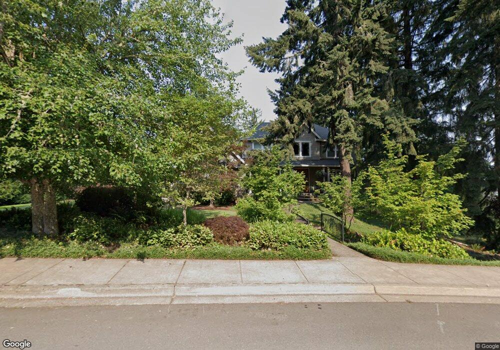
3054 Summit Sky Blvd Eugene, OR 97405
Churchill NeighborhoodEstimated Value: $889,000 - $1,214,000
4
Beds
3
Baths
3,888
Sq Ft
$255/Sq Ft
Est. Value
About This Home
This home is located at 3054 Summit Sky Blvd, Eugene, OR 97405 and is currently estimated at $992,265, approximately $255 per square foot. 3054 Summit Sky Blvd is a home located in Lane County with nearby schools including Twin Oaks Elementary School, Kennedy Middle School, and Churchill High School.
Ownership History
Date
Name
Owned For
Owner Type
Purchase Details
Closed on
Apr 12, 2022
Sold by
Meili Curtis E
Bought by
Curtis And Jennifer Meili Trust
Current Estimated Value
Purchase Details
Closed on
Aug 24, 2010
Sold by
Sand Mathew D and Sand Sherri L
Bought by
Meili Curt E and Meili Jennifer M
Home Financials for this Owner
Home Financials are based on the most recent Mortgage that was taken out on this home.
Original Mortgage
$265,000
Interest Rate
4.48%
Mortgage Type
New Conventional
Purchase Details
Closed on
Jan 16, 2001
Sold by
Lindquist Robert N and Lindquist Pat B
Bought by
Sand Mathew D and Sand Sherri L
Home Financials for this Owner
Home Financials are based on the most recent Mortgage that was taken out on this home.
Original Mortgage
$100,000
Interest Rate
7.54%
Purchase Details
Closed on
Oct 1, 1997
Sold by
Confluence Enterprises Inc
Bought by
Lindquist Robert N and Lindquist Pat B
Create a Home Valuation Report for This Property
The Home Valuation Report is an in-depth analysis detailing your home's value as well as a comparison with similar homes in the area
Home Values in the Area
Average Home Value in this Area
Purchase History
| Date | Buyer | Sale Price | Title Company |
|---|---|---|---|
| Curtis And Jennifer Meili Trust | $92,000 | None Listed On Document | |
| Meili Curt E | $515,000 | Western Title & Escrow | |
| Sand Mathew D | $100,000 | Cascade Title Co | |
| Lindquist Robert N | $99,000 | Cascade Title Co |
Source: Public Records
Mortgage History
| Date | Status | Borrower | Loan Amount |
|---|---|---|---|
| Previous Owner | Meili Curt E | $265,000 | |
| Previous Owner | Sand Mathew D | $100,000 |
Source: Public Records
Tax History
| Year | Tax Paid | Tax Assessment Tax Assessment Total Assessment is a certain percentage of the fair market value that is determined by local assessors to be the total taxable value of land and additions on the property. | Land | Improvement |
|---|---|---|---|---|
| 2025 | $12,662 | $649,874 | -- | -- |
| 2024 | $12,504 | $630,946 | -- | -- |
| 2023 | $12,504 | $612,569 | $0 | $0 |
| 2022 | $11,714 | $594,728 | $0 | $0 |
| 2021 | $10,677 | $577,406 | $0 | $0 |
| 2020 | $10,435 | $560,589 | $0 | $0 |
| 2019 | $10,180 | $544,262 | $0 | $0 |
| 2018 | $9,618 | $513,019 | $0 | $0 |
| 2017 | $9,116 | $513,019 | $0 | $0 |
| 2016 | $8,686 | $498,077 | $0 | $0 |
| 2015 | $8,468 | $483,570 | $0 | $0 |
| 2014 | $7,972 | $469,485 | $0 | $0 |
Source: Public Records
Map
Nearby Homes
- 3085 Summit Sky Blvd
- 3368 Bentley Ave
- 3343 Bentley Ave
- 3362 Bentley Ave
- 0 Eagle View Dr Unit 3 773016563
- 2842 Greentree Way
- 3237 Timberline Dr
- 3825 Brighton Ave
- 0 Brighton Ave Unit 446 19051229
- 3818 Colony Oaks Dr Unit 6
- 3899 Colony Oaks Dr
- 3809 Colony Oaks Dr
- 3812 Colony Oaks Dr Unit 28
- 3490 Southview Dr
- 3574 Colony Oaks Dr Unit 6
- 3586 Colony Oaks Dr Unit 5
- 3823 Wilshire Ln
- 3147 Tanner Park Dr
- 2665 E Wilshire Dr
- 0 Mountain Ash Blvd Unit 410068044
- 3536 Summit Sky Blvd Unit LT115
- 3046 Summit Sky Blvd
- 3062 Summit Sky Blvd
- 3059 Summit Sky Blvd
- 3077 Summit Terrace Dr
- 3028 Summit Sky Blvd
- 3067 Summit Sky Blvd
- 3089 Summit Terrace Dr
- 3039 Summit Terrace Dr
- 3033 Summit Sky Blvd
- 3094 Summit Terrace Dr
- 4020 Bailey View Dr Unit VRM
- 4020 Bailey View Dr
- 4007 Bailey View Dr
- 0 Terrace Trail
- 3023 Summit Terrace Dr
- 3939 Terrace Trail
- 3097 Summit Sky Blvd
- 3048 Summit Terrace Dr
- 3990 Terrace Trail
Your Personal Tour Guide
Ask me questions while you tour the home.