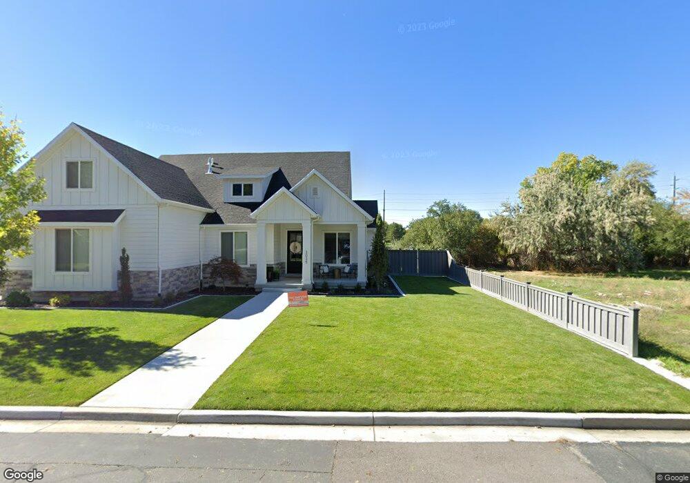
3057 N 100 W Unit 15 Provo, UT 84604
Riverside NeighborhoodEstimated Value: $608,000
--
Bed
--
Bath
--
Sq Ft
0.27
Acres
About This Home
This home is located at 3057 N 100 W Unit 15, Provo, UT 84604 and is currently estimated at $608,000. 3057 N 100 W Unit 15 is a home located in Utah County with nearby schools including Canyon Crest Elementary School, Centennial Middle School, and Timpview High School.
Ownership History
Date
Name
Owned For
Owner Type
Purchase Details
Closed on
May 21, 2024
Sold by
Kullick Living Trust and Kullick Edward J
Bought by
Turner Cory
Current Estimated Value
Home Financials for this Owner
Home Financials are based on the most recent Mortgage that was taken out on this home.
Original Mortgage
$356,000
Outstanding Balance
$206,781
Interest Rate
6.88%
Mortgage Type
Balloon
Estimated Equity
$401,219
Purchase Details
Closed on
Aug 16, 1999
Sold by
Kullick Edward J and Kullick Audrey
Bought by
Kullick Edward J and Kullick Audrey
Create a Home Valuation Report for This Property
The Home Valuation Report is an in-depth analysis detailing your home's value as well as a comparison with similar homes in the area
Home Values in the Area
Average Home Value in this Area
Purchase History
| Date | Buyer | Sale Price | Title Company |
|---|---|---|---|
| Turner Cory | -- | Inwest Title | |
| Kullick Edward J | -- | -- |
Source: Public Records
Mortgage History
| Date | Status | Borrower | Loan Amount |
|---|---|---|---|
| Open | Turner Cory | $356,000 |
Source: Public Records
Tax History Compared to Growth
Tax History
| Year | Tax Paid | Tax Assessment Tax Assessment Total Assessment is a certain percentage of the fair market value that is determined by local assessors to be the total taxable value of land and additions on the property. | Land | Improvement |
|---|---|---|---|---|
| 2025 | $2,758 | $285,100 | $285,100 | $0 |
| 2024 | $2,758 | $271,500 | $0 | $0 |
| 2023 | $2,797 | $271,400 | $0 | $0 |
| 2022 | $2,958 | $289,400 | $289,400 | $0 |
| 2021 | $2,570 | $241,200 | $241,200 | $0 |
| 2020 | $2,383 | $209,700 | $209,700 | $0 |
| 2019 | $2,292 | $209,700 | $209,700 | $0 |
| 2018 | $2,179 | $202,200 | $202,200 | $0 |
| 2017 | $1,777 | $164,800 | $0 | $0 |
| 2016 | $1,473 | $127,300 | $0 | $0 |
| 2015 | $1,373 | $119,900 | $0 | $0 |
| 2014 | $1,275 | $116,100 | $0 | $0 |
Source: Public Records
Map
Nearby Homes
- 3057 N 100 W
- 3013 N 100 W
- 2939 N Marrcrest Dr W
- 3240 Shadowbrook Dr
- 2888 Marrcrest W
- 2823 N Marrcrest E
- 96 Marrcrest S
- 1636 N 320 E Unit 5
- 1660 N 320 E Unit 3
- 1648 N 320 E Unit 4
- 1625 N 320 E Unit 1
- 1624 N 320 E Unit 6
- 1615 N 320 E Unit 1
- 1612 N 320 E Unit RES
- 3430 Brookside Dr
- 3477 Brookside Dr
- 2774 N 370 E
- 3535 N 160 St W
- 553 E 3400 N
- 597 E 3400 N