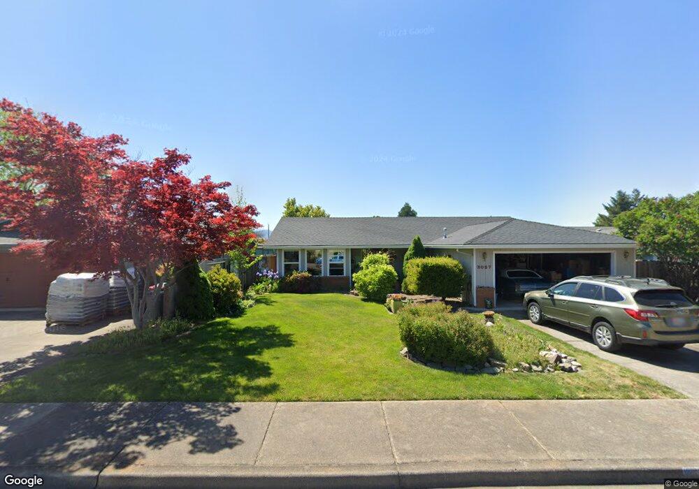
3057 Paul Cir Unit 3 Medford, OR 97504
Estimated Value: $388,000 - $414,520
3
Beds
2
Baths
1,534
Sq Ft
$261/Sq Ft
Est. Value
About This Home
This home is located at 3057 Paul Cir Unit 3, Medford, OR 97504 and is currently estimated at $400,880, approximately $261 per square foot. 3057 Paul Cir Unit 3 is a home located in Jackson County with nearby schools including Abraham Lincoln Elementary School, Hedrick Middle School, and North Medford High School.
Ownership History
Date
Name
Owned For
Owner Type
Purchase Details
Closed on
Feb 17, 2011
Sold by
Pollock William Kempton and Pollock Amy Anne
Bought by
Pollock Amy Anne
Current Estimated Value
Home Financials for this Owner
Home Financials are based on the most recent Mortgage that was taken out on this home.
Original Mortgage
$80,000
Outstanding Balance
$54,455
Interest Rate
4.67%
Mortgage Type
New Conventional
Estimated Equity
$346,425
Purchase Details
Closed on
Jun 3, 2002
Sold by
Heath David Larry and Heath Renee Joann
Bought by
Pollock William Kempton and Pollock Amy Anne
Home Financials for this Owner
Home Financials are based on the most recent Mortgage that was taken out on this home.
Original Mortgage
$160,900
Interest Rate
6.83%
Mortgage Type
VA
Purchase Details
Closed on
Sep 20, 2001
Sold by
Mahar Michael T
Bought by
Heath David Larry and Heath Renee Joann
Create a Home Valuation Report for This Property
The Home Valuation Report is an in-depth analysis detailing your home's value as well as a comparison with similar homes in the area
Home Values in the Area
Average Home Value in this Area
Purchase History
| Date | Buyer | Sale Price | Title Company |
|---|---|---|---|
| Pollock Amy Anne | $25,000 | Ticor Title | |
| Pollock William Kempton | $160,900 | Jackson County Title | |
| Heath David Larry | $65,000 | Jackson County Title |
Source: Public Records
Mortgage History
| Date | Status | Borrower | Loan Amount |
|---|---|---|---|
| Open | Pollock Amy Anne | $80,000 | |
| Previous Owner | Pollock William Kempton | $160,900 |
Source: Public Records
Tax History Compared to Growth
Tax History
| Year | Tax Paid | Tax Assessment Tax Assessment Total Assessment is a certain percentage of the fair market value that is determined by local assessors to be the total taxable value of land and additions on the property. | Land | Improvement |
|---|---|---|---|---|
| 2025 | $3,522 | $242,840 | $84,150 | $158,690 |
| 2024 | $3,522 | $235,770 | $81,700 | $154,070 |
| 2023 | $3,414 | $228,910 | $79,320 | $149,590 |
| 2022 | $3,331 | $228,910 | $79,320 | $149,590 |
| 2021 | $3,245 | $222,250 | $77,010 | $145,240 |
| 2020 | $3,176 | $215,780 | $74,770 | $141,010 |
| 2019 | $3,101 | $203,400 | $70,470 | $132,930 |
| 2018 | $3,022 | $197,480 | $68,410 | $129,070 |
| 2017 | $2,967 | $197,480 | $68,410 | $129,070 |
| 2016 | $2,987 | $186,150 | $64,490 | $121,660 |
| 2015 | $2,871 | $186,150 | $64,490 | $121,660 |
| 2014 | $2,820 | $175,470 | $60,790 | $114,680 |
Source: Public Records
Map
Nearby Homes
- 3093 Paul Cir
- 3054 Levi Cir
- 2995 Bedford Cir
- 3050 Delta Waters Rd
- 2965 Bailey Ave
- 3228 Garner Way
- 3718 Carlin Dr
- 3726 Carlin Dr
- 3739 Ford Dr
- 3747 Ford Dr
- 3024 Adams Cir
- 3691 Ford Dr
- 3727 Carlin Dr
- 3719 Carlin Dr
- 3321 Oneida Cir
- 3358 Viewpoint Dr
- 3362 Viewpoint Dr
- 2966 Delta Waters Rd
- 2769 Stonebrook Dr
- 3004 Cheltenham Way