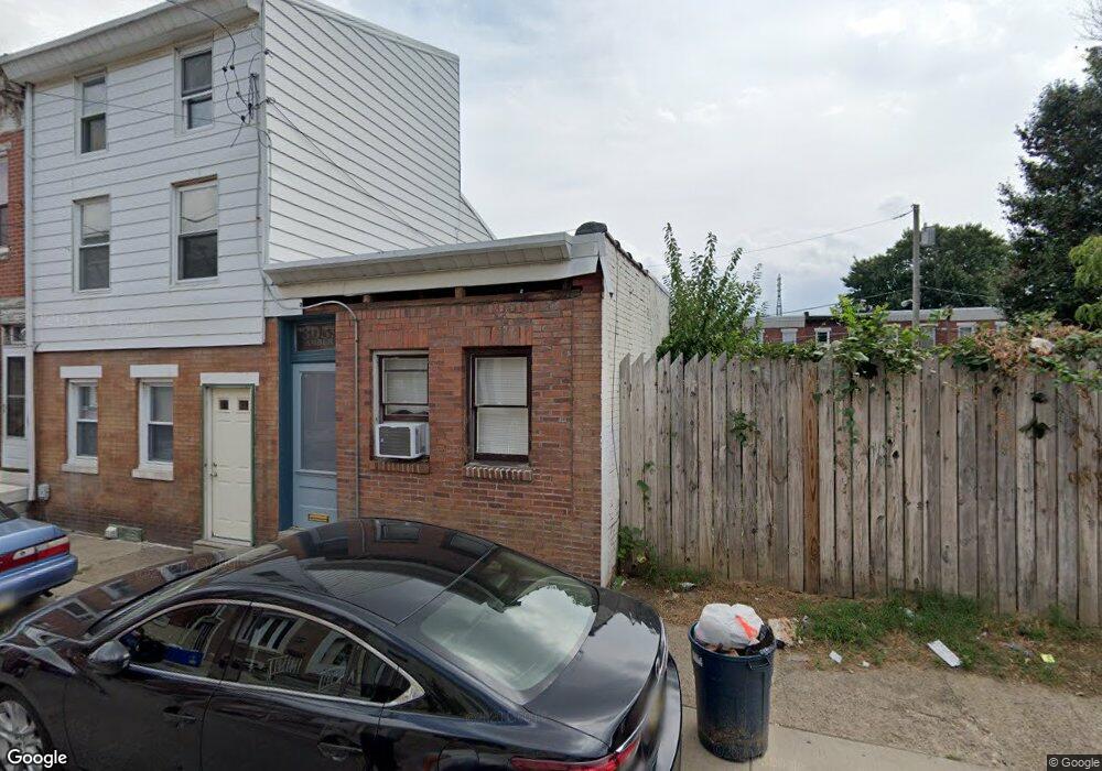
3059 Amber St Unit 61 Philadelphia, PA 19134
Port Richmond NeighborhoodEstimated Value: $128,000 - $197,289
--
Bed
--
Bath
1,920
Sq Ft
$92/Sq Ft
Est. Value
About This Home
This home is located at 3059 Amber St Unit 61, Philadelphia, PA 19134 and is currently estimated at $177,072, approximately $92 per square foot. 3059 Amber St Unit 61 is a home located in Philadelphia County with nearby schools including Frances E. Willard Elementary School, Kensington High School, and Kensington Health Sciences Academy.
Ownership History
Date
Name
Owned For
Owner Type
Purchase Details
Closed on
Oct 8, 2008
Sold by
Borawski Delta
Bought by
Schemm Paul
Current Estimated Value
Home Financials for this Owner
Home Financials are based on the most recent Mortgage that was taken out on this home.
Original Mortgage
$112,500
Outstanding Balance
$74,738
Interest Rate
6.41%
Mortgage Type
Construction
Estimated Equity
$102,334
Create a Home Valuation Report for This Property
The Home Valuation Report is an in-depth analysis detailing your home's value as well as a comparison with similar homes in the area
Home Values in the Area
Average Home Value in this Area
Purchase History
| Date | Buyer | Sale Price | Title Company |
|---|---|---|---|
| Schemm Paul | $80,000 | None Available |
Source: Public Records
Mortgage History
| Date | Status | Borrower | Loan Amount |
|---|---|---|---|
| Open | Schemm Paul | $112,500 |
Source: Public Records
Tax History Compared to Growth
Tax History
| Year | Tax Paid | Tax Assessment Tax Assessment Total Assessment is a certain percentage of the fair market value that is determined by local assessors to be the total taxable value of land and additions on the property. | Land | Improvement |
|---|---|---|---|---|
| 2025 | $1,572 | $148,100 | $29,620 | $118,480 |
| 2024 | $1,572 | $148,100 | $29,620 | $118,480 |
| 2023 | $1,572 | $112,300 | $22,460 | $89,840 |
| 2022 | $1,018 | $112,300 | $22,460 | $89,840 |
| 2021 | $1,018 | $0 | $0 | $0 |
| 2020 | $1,018 | $0 | $0 | $0 |
| 2019 | $945 | $0 | $0 | $0 |
| 2018 | $945 | $0 | $0 | $0 |
| 2017 | $945 | $0 | $0 | $0 |
| 2016 | $945 | $0 | $0 | $0 |
| 2015 | $905 | $0 | $0 | $0 |
| 2014 | -- | $67,500 | $31,479 | $36,021 |
| 2012 | -- | $6,656 | $774 | $5,882 |
Source: Public Records
Map
Nearby Homes
- 3077 Collins St
- 2102 E Clearfield St
- 2118 E Commissioner St
- 3053 Collins St
- 3035 Coral St
- 2100 E Clearfield St
- 2105 E Elkhart St
- 3061 Martha St
- 2084 E Elkhart St
- 3025 Frankford Ave
- 2074 E Clementine St
- 3078 Frankford Ave
- 2070 E Lippincott St
- 3021 Martha St
- 2106 E Lippincott St
- 2108 E Lippincott St
- 2137-39 Ann St
- 2122 E Lippincott St
- 2039 E Clearfield St
- 3063 Joyce St