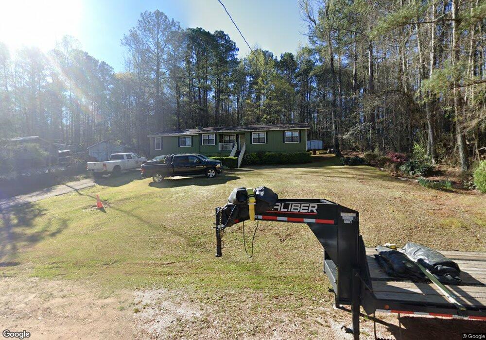
306 Brooks Rd Hogansville, GA 30230
Estimated Value: $149,000 - $221,000
4
Beds
2
Baths
1,584
Sq Ft
$123/Sq Ft
Est. Value
About This Home
This home is located at 306 Brooks Rd, Hogansville, GA 30230 and is currently estimated at $195,228, approximately $123 per square foot. 306 Brooks Rd is a home located in Troup County with nearby schools including Hogansville Elementary School, Callaway Elementary School, and Callaway Middle School.
Ownership History
Date
Name
Owned For
Owner Type
Purchase Details
Closed on
May 26, 1998
Sold by
Mattie L Rosser
Bought by
Rosser Mattie
Current Estimated Value
Purchase Details
Closed on
Mar 9, 1994
Sold by
Goldome Credit
Bought by
Mattie L Rosser
Purchase Details
Closed on
Jun 30, 1992
Sold by
Goldome Credit Corp
Bought by
Goldome Credit
Purchase Details
Closed on
Jan 9, 1990
Sold by
Cynthia Frank and Cynthia Cameron
Bought by
Goldome Credit Corp
Purchase Details
Closed on
Nov 29, 1984
Sold by
Brooks J C
Bought by
Cynthia Frank and Cynthia Cameron
Purchase Details
Closed on
Sep 28, 1981
Sold by
Brooks J C
Bought by
Brooks J C
Create a Home Valuation Report for This Property
The Home Valuation Report is an in-depth analysis detailing your home's value as well as a comparison with similar homes in the area
Home Values in the Area
Average Home Value in this Area
Purchase History
| Date | Buyer | Sale Price | Title Company |
|---|---|---|---|
| Rosser Mattie | -- | -- | |
| Mattie L Rosser | -- | -- | |
| Goldome Credit | $43,000 | -- | |
| Goldome Credit Corp | -- | -- | |
| Cynthia Frank | $2,000 | -- | |
| Brooks J C | $1,500 | -- |
Source: Public Records
Tax History Compared to Growth
Tax History
| Year | Tax Paid | Tax Assessment Tax Assessment Total Assessment is a certain percentage of the fair market value that is determined by local assessors to be the total taxable value of land and additions on the property. | Land | Improvement |
|---|---|---|---|---|
| 2024 | $1,758 | $49,920 | $4,000 | $45,920 |
| 2023 | $1,650 | $46,840 | $4,000 | $42,840 |
| 2022 | $1,533 | $42,760 | $4,000 | $38,760 |
| 2021 | $1,400 | $38,320 | $4,000 | $34,320 |
| 2020 | $1,400 | $38,320 | $4,000 | $34,320 |
| 2019 | $1,208 | $33,280 | $3,280 | $30,000 |
| 2018 | $1,104 | $30,544 | $3,264 | $27,280 |
| 2017 | $1,104 | $30,544 | $3,264 | $27,280 |
| 2016 | $1,104 | $30,529 | $3,264 | $27,265 |
| 2015 | $1,105 | $30,529 | $3,264 | $27,265 |
| 2014 | $1,052 | $29,094 | $3,264 | $25,830 |
| 2013 | -- | $30,112 | $3,264 | $26,848 |
Source: Public Records
Map
Nearby Homes
- 717 N Boyd Rd
- 501 Sporting Dr
- 502 Sporting Dr
- 500 Sporting Dr
- 601 W Main St
- GARDNER Plan at Huntcliff - Villages
- ESSEX Plan at Huntcliff - Villages
- DUPONT Plan at Huntcliff - Villages
- ROANOKE Plan at Huntcliff - Villages
- 618 Rifle Ridge
- 105 Ransby Dr
- 225 Fox Chase Way
- 509 W Main St
- 264 Fox Chase Way
- 262 Fox Chase Way
- 346 Foxtrot Trail
- 344 Foxtrot Trail
- 341 Foxtrot Trail
- 342 Foxtrot Trail
- 340 Foxtrot Trail