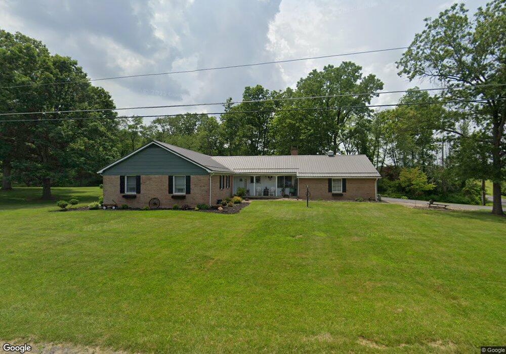
306 Dreese St Beavertown, PA 17813
Estimated Value: $98,982 - $218,000
--
Bed
--
Bath
--
Sq Ft
8,712
Sq Ft Lot
About This Home
This home is located at 306 Dreese St, Beavertown, PA 17813 and is currently estimated at $165,246. 306 Dreese St is a home with nearby schools including Midd-West High School.
Ownership History
Date
Name
Owned For
Owner Type
Purchase Details
Closed on
Sep 17, 2021
Sold by
Aumiller Carmon E and Aumiller Dane C
Bought by
Furgison Rodney L and Furgison Fawnda S
Current Estimated Value
Home Financials for this Owner
Home Financials are based on the most recent Mortgage that was taken out on this home.
Original Mortgage
$132,000
Outstanding Balance
$100,756
Interest Rate
2.1%
Mortgage Type
New Conventional
Estimated Equity
$64,490
Purchase Details
Closed on
Nov 8, 2010
Sold by
Aumiller Carmon E and Aumiller Shirley J
Bought by
Aumiller Carmon E
Create a Home Valuation Report for This Property
The Home Valuation Report is an in-depth analysis detailing your home's value as well as a comparison with similar homes in the area
Home Values in the Area
Average Home Value in this Area
Purchase History
| Date | Buyer | Sale Price | Title Company |
|---|---|---|---|
| Furgison Rodney L | $165,000 | None Listed On Document | |
| Aumiller Carmon E | -- | -- |
Source: Public Records
Mortgage History
| Date | Status | Borrower | Loan Amount |
|---|---|---|---|
| Open | Furgison Rodney L | $132,000 | |
| Closed | Aumiller Carmon E | -- |
Source: Public Records
Tax History Compared to Growth
Tax History
| Year | Tax Paid | Tax Assessment Tax Assessment Total Assessment is a certain percentage of the fair market value that is determined by local assessors to be the total taxable value of land and additions on the property. | Land | Improvement |
|---|---|---|---|---|
| 2025 | $2,270 | $21,900 | $3,420 | $18,480 |
| 2024 | $2,134 | $21,900 | $3,420 | $18,480 |
| 2023 | $587 | $21,900 | $3,420 | $18,480 |
| 2022 | $3,754 | $38,730 | $2,870 | $35,860 |
| 2021 | $3,754 | $38,730 | $2,870 | $35,860 |
| 2020 | $3,754 | $38,730 | $2,870 | $35,860 |
| 2019 | $3,754 | $38,730 | $2,870 | $35,860 |
| 2018 | $3,754 | $38,730 | $2,870 | $35,860 |
| 2017 | $3,754 | $38,730 | $2,870 | $35,860 |
| 2016 | $1,232 | $38,730 | $2,870 | $35,860 |
| 2015 | $111,577 | $38,730 | $2,870 | $35,860 |
| 2014 | $111,577 | $38,730 | $2,870 | $35,860 |
Source: Public Records
Map
Nearby Homes
- 155 High Lot 58 St
- 154 High Lot 53 St
- 134 High Lot 54 St
- 214 Middleswarth St Lot 22 St
- 255 Middleswarth Lot 31 St
- 114 High Lot 55 St
- 235 Middleswarth St Lot 27 St
- 408 Hahn St Lot 50 St
- 368 Hahn St Lot 42 St
- 388 Hahn Lot 46 St
- 215 Middleswarth Lot 23 St
- 254 Hahn Lot 24 St
- 237 S Thomas St
- 8791 Pa State 235 Route
- 8781 Pennsylvania 235
- 77 Spring St
- 0 U S 522
- 20239 Route 522
- 20239 U S 522
- 0 Snyder Ave
- 320 Dreese St
- 314 S Center St
- 284 S Center St
- 333 Dreese St
- 332 Dreese St
- 101 Fall St
- 301 S Center St
- 276 S Center St
- 342 Dreese St
- 329 S Center St
- 268 S Center St
- 281 S Center St
- 346 S Center St
- 263 S Center St
- 105 Fall St
- 254 S Center St
- 255 S Center St
- 251 S Center St
- 249 S Center St
- 355 S Center St