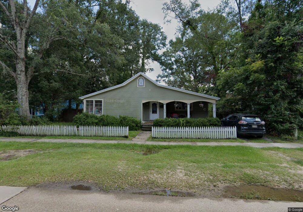
306 E Robert St Hammond, LA 70401
Estimated Value: $160,000 - $262,000
4
Beds
3
Baths
1,718
Sq Ft
$130/Sq Ft
Est. Value
About This Home
This home is located at 306 E Robert St, Hammond, LA 70401 and is currently estimated at $224,045, approximately $130 per square foot. 306 E Robert St is a home located in Tangipahoa Parish with nearby schools including Woodland Park Magnet, Greenville Park Leadership Academy, and Hammond High Magnet School.
Ownership History
Date
Name
Owned For
Owner Type
Purchase Details
Closed on
Jan 30, 2012
Sold by
Pjn Llc
Bought by
Brooks Davy Charles and Williams Karen Luanne
Current Estimated Value
Purchase Details
Closed on
Jul 22, 2005
Sold by
Killian Stewart Erwin and Myers Kenneth Ray
Bought by
Community Properties Llc
Home Financials for this Owner
Home Financials are based on the most recent Mortgage that was taken out on this home.
Original Mortgage
$35,477
Interest Rate
5.55%
Mortgage Type
Future Advance Clause Open End Mortgage
Create a Home Valuation Report for This Property
The Home Valuation Report is an in-depth analysis detailing your home's value as well as a comparison with similar homes in the area
Home Values in the Area
Average Home Value in this Area
Purchase History
| Date | Buyer | Sale Price | Title Company |
|---|---|---|---|
| Brooks Davy Charles | $182,000 | None Available | |
| Community Properties Llc | $33,000 | None Available |
Source: Public Records
Mortgage History
| Date | Status | Borrower | Loan Amount |
|---|---|---|---|
| Previous Owner | Community Properties Llc | $35,477 |
Source: Public Records
Tax History
| Year | Tax Paid | Tax Assessment Tax Assessment Total Assessment is a certain percentage of the fair market value that is determined by local assessors to be the total taxable value of land and additions on the property. | Land | Improvement |
|---|---|---|---|---|
| 2025 | $1,726 | $17,738 | $6,480 | $11,258 |
| 2024 | $1,719 | $17,738 | $6,480 | $11,258 |
| 2023 | $1,651 | $16,902 | $6,000 | $10,902 |
| 2022 | $1,651 | $16,902 | $6,000 | $10,902 |
| 2021 | $2,012 | $16,902 | $6,000 | $10,902 |
| 2020 | $2,007 | $16,902 | $6,000 | $10,902 |
| 2019 | $2,002 | $16,902 | $6,000 | $10,902 |
| 2018 | $2,006 | $16,902 | $6,000 | $10,902 |
| 2017 | $2,006 | $16,902 | $6,000 | $10,902 |
| 2016 | $2,006 | $16,902 | $6,000 | $10,902 |
| 2015 | $967 | $17,376 | $6,000 | $11,376 |
| 2014 | $927 | $17,376 | $6,000 | $11,376 |
Source: Public Records
Map
Nearby Homes
- 304 E Robert St
- 211 N Holly St
- 210 N Cherry St
- 205 N Holly St
- 305 E Charles St
- 0 E Robert St
- 611 E Robert St
- 307 E Robert St
- 305 E Robert St
- 311 E Robert St
- 301 E Robert St
- 208 N Holly St
- 210 N Holly St
- 206 N Holly St
- 306 N Cherry St
- 306 N Cherry St
- 300 N Holly St
- 209 N Cherry St
- 309 N Holly St
- 730 E Charles St
Your Personal Tour Guide
Ask me questions while you tour the home.