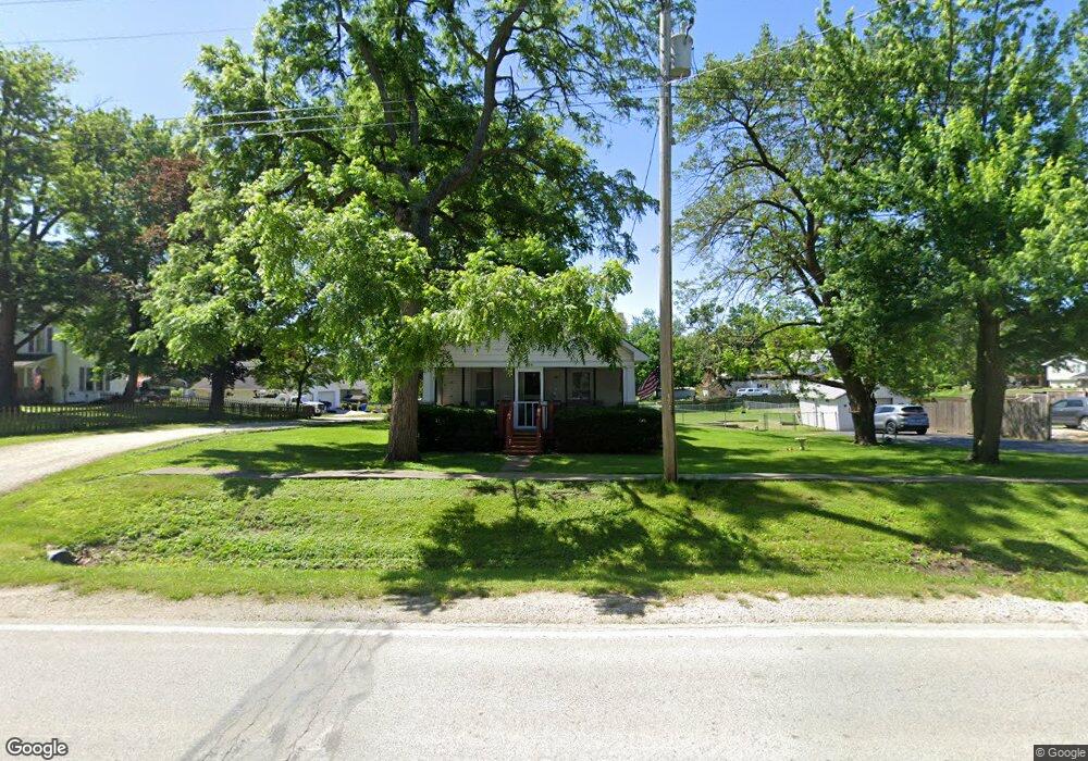
306 E State St Payson, IL 62360
Estimated Value: $106,000 - $189,000
Studio
--
Bath
--
Sq Ft
20,038
Sq Ft Lot
About This Home
This home is located at 306 E State St, Payson, IL 62360 and is currently estimated at $144,038. 306 E State St is a home located in Adams County with nearby schools including Seymour Elementary School and Seymour High School.
Ownership History
Date
Name
Owned For
Owner Type
Purchase Details
Closed on
Jul 11, 2025
Sold by
Foster Michael Wayne and Foster Michele Rene
Bought by
Sparks Logan and Perry Livia
Current Estimated Value
Home Financials for this Owner
Home Financials are based on the most recent Mortgage that was taken out on this home.
Original Mortgage
$133,000
Outstanding Balance
$132,207
Interest Rate
6.89%
Mortgage Type
New Conventional
Estimated Equity
$11,831
Purchase Details
Closed on
Nov 17, 2023
Sold by
Lalond Clarence Patrick and Lalond Doreta E
Bought by
Foster Michael W and Foster Michele R
Create a Home Valuation Report for This Property
The Home Valuation Report is an in-depth analysis detailing your home's value as well as a comparison with similar homes in the area
Purchase History
| Date | Buyer | Sale Price | Title Company |
|---|---|---|---|
| Sparks Logan | -- | Illinois Real Estate Title | |
| Foster Michael W | -- | None Listed On Document |
Source: Public Records
Mortgage History
| Date | Status | Borrower | Loan Amount |
|---|---|---|---|
| Open | Sparks Logan | $133,000 |
Source: Public Records
Tax History
| Year | Tax Paid | Tax Assessment Tax Assessment Total Assessment is a certain percentage of the fair market value that is determined by local assessors to be the total taxable value of land and additions on the property. | Land | Improvement |
|---|---|---|---|---|
| 2024 | $2,501 | $38,320 | $7,940 | $30,380 |
| 2023 | $995 | $35,680 | $7,390 | $28,290 |
| 2022 | $1,000 | $33,910 | $7,020 | $26,890 |
| 2021 | $1,017 | $32,940 | $6,820 | $26,120 |
| 2020 | $1,028 | $32,070 | $6,640 | $25,430 |
| 2019 | $1,039 | $30,950 | $6,410 | $24,540 |
| 2018 | $1,041 | $30,050 | $6,220 | $23,830 |
| 2017 | $1,050 | $29,170 | $6,040 | $23,130 |
| 2016 | $1,388 | $27,330 | $5,660 | $21,670 |
| 2015 | $1,072,240 | $27,330 | $5,660 | $21,670 |
| 2012 | $1,083 | $26,620 | $5,510 | $21,110 |
Source: Public Records
Map
Nearby Homes
- 104 W Edwards St
- 107 N Fulton St
- 409 N Main St
- 419 Willow St
- .031 ac m/l Angle St
- SE Cor Lot 15
- 4823 Bitter Rd
- 4611 Barbara Jane Ct
- 4616 Barbara Jane Ct
- 4605 Barbara Jane Ct
- 4604 Barbara Jane Ct
- 4610 Barbara Jane Ct
- 4617 Oakwood Dr
- 4601 Oakwood Dr
- 4523 Oakwood Dr
- SE Sec 21 1 244 A
- SE Sec 21 2s8w 3 139
- 4006 Halfpap Ln
- 1019 Burton Meadows Rd
- 1433 Hemingway
- 302 E State St
- 105 Sillman St
- 310 E State St Unit 308
- 109 Sillman St
- 303 E State St
- 106 Sillman St
- 301 E State St
- 305 E State St
- 204 Columbine St
- 400 E State St
- 307 E State St
- 108 Sillman St
- 204 E State St
- 110 Sillman St
- 208 Columbine St
- 203 Sillman St
- 205 E State St
- 207 E Brainard St
- 405 Magnolia St
- 212 Columbine St
Your Personal Tour Guide
Ask me questions while you tour the home.