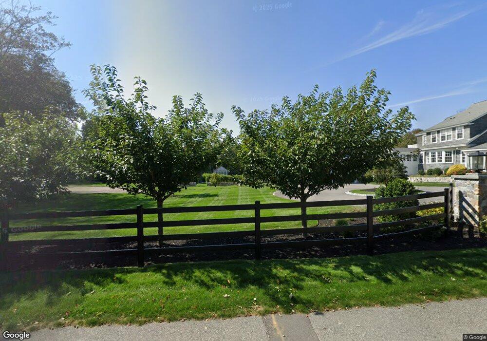
306 Forest Ave Cohasset, MA 02025
Estimated Value: $1,102,000 - $1,403,000
4
Beds
3
Baths
3,407
Sq Ft
$364/Sq Ft
Est. Value
About This Home
This home is located at 306 Forest Ave, Cohasset, MA 02025 and is currently estimated at $1,241,674, approximately $364 per square foot. 306 Forest Ave is a home located in Norfolk County with nearby schools including Joseph Osgood School, Deer Hill School, and Cohasset Middle School.
Ownership History
Date
Name
Owned For
Owner Type
Purchase Details
Closed on
Oct 7, 2004
Sold by
Lengyel Brigid M and Lengyel John C
Bought by
Sturdy Anastasia P and Sturdy Charles H
Current Estimated Value
Purchase Details
Closed on
Mar 30, 2000
Sold by
Youngman Ellen B
Bought by
Lengyel John C and Lengyel Brigid M
Home Financials for this Owner
Home Financials are based on the most recent Mortgage that was taken out on this home.
Original Mortgage
$400,000
Interest Rate
8.4%
Mortgage Type
Purchase Money Mortgage
Purchase Details
Closed on
Sep 11, 1987
Sold by
Orourke Edward G
Bought by
Welby Thomas E
Create a Home Valuation Report for This Property
The Home Valuation Report is an in-depth analysis detailing your home's value as well as a comparison with similar homes in the area
Home Values in the Area
Average Home Value in this Area
Purchase History
| Date | Buyer | Sale Price | Title Company |
|---|---|---|---|
| Sturdy Anastasia P | $10,001 | -- | |
| Lengyel John C | $540,000 | -- | |
| Welby Thomas E | $490,000 | -- |
Source: Public Records
Mortgage History
| Date | Status | Borrower | Loan Amount |
|---|---|---|---|
| Open | Welby Thomas E | $100,000 | |
| Open | Welby Thomas E | $448,000 | |
| Previous Owner | Welby Thomas E | $400,000 |
Source: Public Records
Tax History
| Year | Tax Paid | Tax Assessment Tax Assessment Total Assessment is a certain percentage of the fair market value that is determined by local assessors to be the total taxable value of land and additions on the property. | Land | Improvement |
|---|---|---|---|---|
| 2025 | $7,276 | $628,300 | $628,300 | $0 |
| 2024 | $6,117 | $502,600 | $502,600 | $0 |
| 2023 | $5,928 | $502,400 | $502,400 | $0 |
| 2022 | $10,500 | $836,000 | $502,400 | $333,600 |
| 2021 | $11,100 | $851,200 | $502,400 | $348,800 |
| 2020 | $10,114 | $779,800 | $431,000 | $348,800 |
| 2019 | $10,059 | $779,800 | $431,000 | $348,800 |
| 2018 | $9,974 | $779,800 | $431,000 | $348,800 |
| 2017 | $9,956 | $762,300 | $431,000 | $331,300 |
| 2016 | $9,818 | $762,300 | $431,000 | $331,300 |
| 2015 | $9,374 | $737,500 | $406,200 | $331,300 |
| 2014 | $9,178 | $731,900 | $406,200 | $325,700 |
Source: Public Records
Map
Nearby Homes
- 560 Jerusalem Rd
- 597 Jerusalem Rd
- 130 Forest Ave
- 96 Forest Ave
- 14 Cedarledge Village
- 18 Valley Beach Ave
- 48 Valley Beach Ave Unit 2
- 166 Hull St
- 59 Wheelwright Unit 59
- 6 State Park Rd Unit 2
- 62 Oceanside Dr
- 1 Longbeach Ave Unit 202
- 114 Hull St
- 121 Nantasket Ave Unit 503
- 137 Fairoaks Ln
- 4 Atherton Rd
- 23 Wyola Rd
- 22 Berkley Rd Unit B
- 47 Highland Ave
- 135 Beach St
- 312 Forest Ave
- 318 Forest Ave
- 100 Black Rock Rd
- 110 Black Rock Rd
- 301 Forest Ave
- 299 Forest Ave
- 4 Forest Notch
- 303 Forest Ave
- 103 Black Rock Rd
- 70 Black Rock Rd
- 111 Black Rock Rd
- 295 Forest Ave
- 93 Black Rock Rd
- 30 Forest Notch
- 34 Forest Notch
- 282 Forest Ave
- 62 Black Rock Rd
- 62 & 65 Black Rock Rd
- 12 Forest Notch
- 332 Forest Ave
Your Personal Tour Guide
Ask me questions while you tour the home.