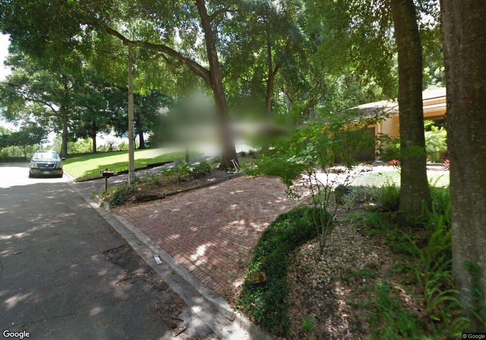
306 Forest Rd Mount Dora, FL 32757
Estimated Value: $336,000 - $433,000
3
Beds
2
Baths
1,388
Sq Ft
$270/Sq Ft
Est. Value
About This Home
This home is located at 306 Forest Rd, Mount Dora, FL 32757 and is currently estimated at $374,179, approximately $269 per square foot. 306 Forest Rd is a home located in Lake County with nearby schools including Triangle Elementary School, Mt. Dora Middle School, and Mt. Dora High School.
Ownership History
Date
Name
Owned For
Owner Type
Purchase Details
Closed on
Dec 29, 1995
Sold by
Coffield John H and Coffield David E
Bought by
Smith Deborah A
Current Estimated Value
Home Financials for this Owner
Home Financials are based on the most recent Mortgage that was taken out on this home.
Original Mortgage
$72,393
Outstanding Balance
$983
Interest Rate
7.29%
Mortgage Type
FHA
Estimated Equity
$373,196
Purchase Details
Closed on
Mar 1, 1995
Sold by
Taylor Lanis E and Taylor Helen Esther
Bought by
Coffield John H and Coffield David E
Create a Home Valuation Report for This Property
The Home Valuation Report is an in-depth analysis detailing your home's value as well as a comparison with similar homes in the area
Home Values in the Area
Average Home Value in this Area
Purchase History
| Date | Buyer | Sale Price | Title Company |
|---|---|---|---|
| Smith Deborah A | $74,000 | -- | |
| Coffield John H | -- | -- |
Source: Public Records
Mortgage History
| Date | Status | Borrower | Loan Amount |
|---|---|---|---|
| Open | Smith Deborah A | $72,393 |
Source: Public Records
Tax History
| Year | Tax Paid | Tax Assessment Tax Assessment Total Assessment is a certain percentage of the fair market value that is determined by local assessors to be the total taxable value of land and additions on the property. | Land | Improvement |
|---|---|---|---|---|
| 2026 | $2,374 | $165,650 | -- | -- |
| 2025 | $2,237 | $161,150 | -- | -- |
| 2024 | $2,237 | $161,150 | -- | -- |
| 2023 | $2,237 | $151,910 | $0 | $0 |
| 2022 | $2,199 | $147,490 | $0 | $0 |
| 2021 | $2,117 | $143,198 | $0 | $0 |
| 2020 | $2,186 | $141,221 | $0 | $0 |
| 2019 | $2,176 | $138,046 | $0 | $0 |
| 2018 | $1,568 | $109,224 | $0 | $0 |
| 2017 | $1,364 | $106,978 | $0 | $0 |
| 2016 | $1,326 | $104,778 | $0 | $0 |
| 2015 | $1,348 | $104,050 | $0 | $0 |
| 2014 | $1,289 | $103,225 | $0 | $0 |
Source: Public Records
Map
Nearby Homes
- 333 Forest Rd
- 407 Forest Rd
- 2115 Oak Leaf Cir
- 2312 Hillside Dr
- 2314 Hillside Dr
- 2013 Donnelly Place
- 2108 Dogwood Cir
- 0 E Jackson Ave Unit MFRG5108158
- 611 Old Eustis Rd
- 809 Northside Dr
- 224 August Fern Loop
- 1765 Hilltop Dr
- 1824 Crestview Dr
- 600 Old Eustis Rd
- 1630 Crestview Dr
- 1503 Granite State Ct
- 1438 Crestview Dr
- 456 Winter Solstice Ln
- 1405 Hilltop Dr
- 1245 N Alexander St
- 312 Forest Rd
- 322 Forest Rd
- 307 Forest Rd
- 323 Forest Rd
- 324 Forest Rd
- 406 Forest Rd
- XXXX Jackson St
- Stewart Ln
- 362 Old Eustis Rd
- 311 Old Eustis Rd
- 414 Forest Rd
- 221 Old Eustis Rd
- 0 Limit Ave Unit O5531386
- 415 Forest Rd
- 420 Old Eustis Rd
- 0 Stewart Ln Unit G4851368
- 0 Stewart Ln Unit MFRT3442541
- 131 Old Eustis Rd
- 2014 Suzanne Dr
- 401 Old Eustis Rd
Your Personal Tour Guide
Ask me questions while you tour the home.